American Tobacco Trail
check with the trail manager for updated details before visiting.
American Tobacco Trail
City, Town, or County
Frontcountry Trail
- Length
22.6 miles
- Elevation Gain
--
- Route Type
out & back
- Length
22.6 miles - Elevation Gain
-- - Route Type
out & back
The American Tobacco Trail is a 22.6-mile (36.4 km) long Rails-to-Trails project located in the Research Triangle region of North Carolina, running along an abandoned railroad bed originally built for the American Tobacco Company in the 1970s.
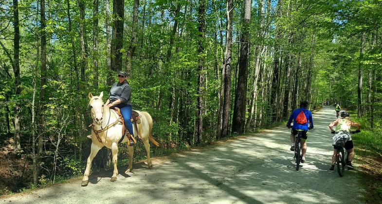
2023 Photo Contest Winner: Trail Sharing. Photo by Dave & Renee Connelly

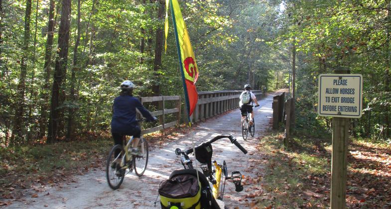
Seeing something cool on the bridge.
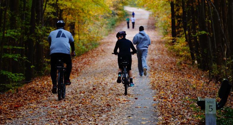
Bikers and walkers having fun on the trail. Photo by Sarina Lewis.
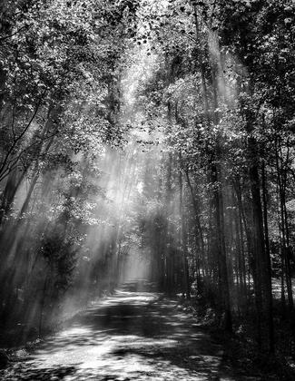
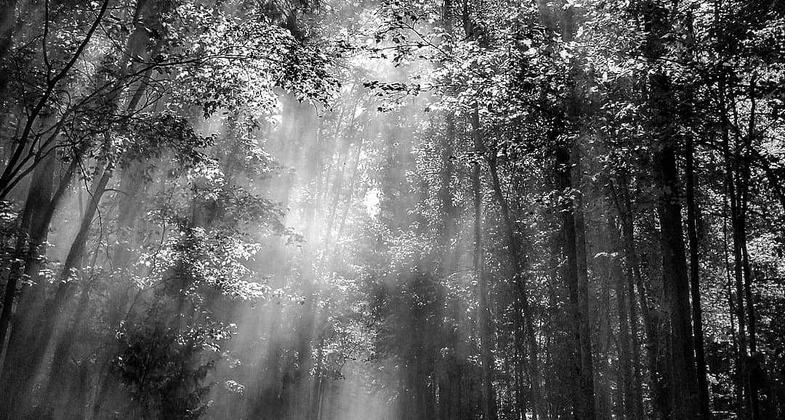
Illuminated path. Photo by Tony D'Amico.
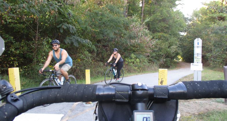
Photo by Jim Schmid.
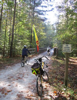
Photo by Jim Schmid.

Photo by Jim Schmid.
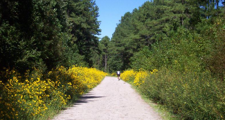
Wild Tick Seed Flowers. Photo by Tony D'Amico.
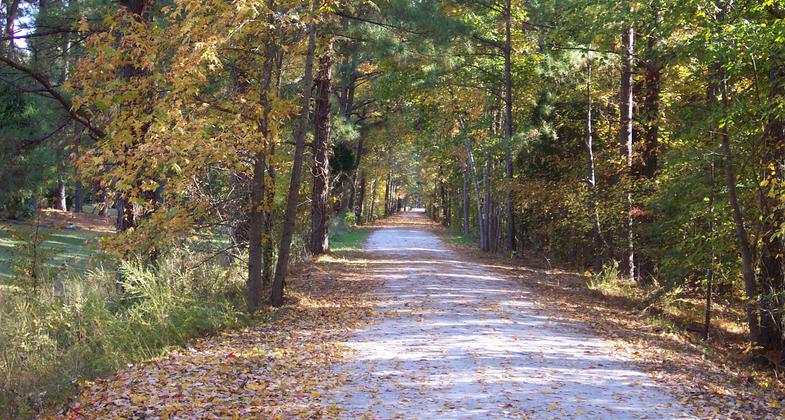
Fall scene. Photo by Tony D'Amico.
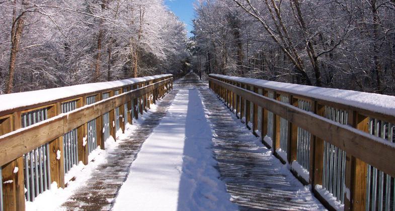
Snowy day on the American Tobacco Trail. Photo by Tony D'Amico.
Location: Durham & Wake counties, North Carolina
- States: North Carolina
- Counties: Durham, Wake
The American Tobacco Trail (ATT) is a 22.6-mile (36.4 km) long Rails-to-Trails project located in the Research Triangle region of North Carolina, running along an abandoned railroad bed originally built for the American Tobacco Company in the 1970s. The route crosses through the City of Durham, Durham County, Chatham County, and Wake County. The ATT is part of the East Coast Greenway and is open to pedestrians, cyclists, equestrians (in non-urban sections), and other non-motorized users.
Starting from the southern end of the trail in New Hill the 6.5-mile Wake County portion of the trail is gravel, followed by a 4.7-mile multi-use section in Chatham County that contains a paved lane and a gravel equestrian lane, and an 11.4-mile paved section in Durham County on the North End of the trail ending at the Durham Bulls Athletic Park.
Accessibility Information
No text provided.
Allowed Uses:
Dogs, on leash Hiking/WalkingPublic Contact
Durham Parks & Recreation, Wake County Parks & R2112 County Park Dr.
New Hill, NC 27562
(919-) 560-4355
www.dprplaymore.org/263/American-Tobacco-Trail
Contact the trail manager for current maps and visiting details.
More Details
- Elevation (low): 310
- Elevation (high): 370
- Elevation (cumulative): --
- Part of a Trail System? No
- National Designations: Community Millenium
- Surface (primary): Paved
- Surfaces (additional): Paved, Rock, crushed, Soil
- Tread Width (average): 120"
- Tread Width (minimum): --
- Running length (minimum): --
- Tread Grade (average, percent): 2
- Tread Grade (maximum): 5
- Running length (maximum): --
- Cross-slope (average, percent): --
- Cross-slope (maximum): --
- Running length (maximum): --
- Certified as an NRT
Jun 1, 2004

