Anderson Woodland Trail
check with the trail manager for updated details before visiting.
Anderson Woodland Trail
- Length
0.33 miles - Elevation Gain
-- - Route Type
Loop
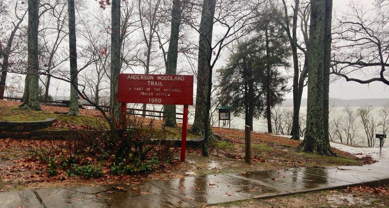
The Anderson Woodland Trail is a short scenic trail, accessible and completely shaded. It reveals some of Lake Barkley's most scenic views.
Location: Location - Kuttawa Recreation Area at Lake Barkley
- States: Kentucky
- Counties: Lyon
The Anderson Woodland Trail is a short scenic trail, accessible and completely shaded. It reveals some of Lake Barkley's most scenic views. It consists of one main loop with a short walkway leading to an overlook. You can use the overlook to view the Kentucky State Penitentiary, also known as the Castle on the Cumberland, or just relax for a moment and enjoy the refreshing breeze off the lake. There are several picnic tables and grills along the trail for you to enjoy a small cookout or picnic. Adjacent to the trail is the Old Kuttawa Recreation Area, consisting of a public swimming area, swings, playground equipment, horseshoe pits, a volleyball court, and two restroom buildings along with additional picnicking areas. The recreation area also offers two picnic shelters that may be reserved.
Accessibility Information
No text provided.
Reviews
Donna Kridelbaugh & John Stone
Easy stroll with scenic lakeside views
The Anderson Woodland Trail is located in the (Old) Kuttawa Recreation Area on the northern most shores of Lake Barkley. The trail is less than 0.5 mile in total distance, easy in difficulty and is completely paved. There is one segment of the trail with a moderate grade but handrails are present. Part of the trail hugs the shoreline and provides open views of the expansive lake, including a wide overlook platform, before looping back to the parking area. There are several shaded picnic spots scattered along the trail. The recreation area provides other amenities, including restroom facilities and picnic shelters. While on the trail, please remember to leave no trace by disposing of trash properly and keeping it in good shape for others to enjoy.
Allowed Uses:
Swimming Dogs, on leash Hiking/WalkingOther Activities
- Fishing
Public Contact
Resource Manager's OfficeUS Army Corps of Engineers
P.O. Box 218
Grand Rivers, KY 42045
(270) 362-4236
Contact the trail manager for current maps and visiting details.
More Details
- Elevation (low): 361
- Elevation (high): 425
- Elevation (cumulative): --
- Part of a Trail System? No
- Surface (primary): Paved
- Surfaces (additional): --
- Tread Width (average): 30"
- Tread Width (minimum): --
- Running length (minimum): --
- Tread Grade (average, percent): 5
- Tread Grade (maximum): 11
- Running length (maximum): --
- Cross-slope (average, percent): --
- Cross-slope (maximum): --
- Running length (maximum): --
- Certified as an NRT
Nov 20, 1979


