Anvil Lake NRT
This information is a public record of the 1978 NRT application and may be out of date if it has not been updated by a trail manager --
check with the trail manager for updated details before visiting.
check with the trail manager for updated details before visiting.
Anvil Lake NRT
USDA Forest Service
Backcountry Trail
- Length
12 miles
- Elevation Gain
--
- Route Type
out & back
- Length
12 miles - Elevation Gain
-- - Route Type
out & back
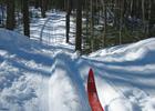
This is one of the oldest and most popular cross-country ski trails in the Eagle River area.

Happy skiing! Photo by Courtesy USFS.

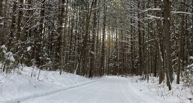
A freshly groomer section of the trail. Photo by Valerie Knurr.

Feed the birds - Anvil Lake shelter. Photo by Tom Peterson.
Location: 10 mi. E of Eagle River on SR 70.
- States: Wisconsin
- Counties: Forest
This is one of the oldest and most popular cross-country ski trails in the Eagle River area. Trails are groomed for traditional-style skiing as well as ski-skating. Several loops are available over varied terrain from easy to difficult. Anvil is excellent for hiking and mountain biking in the summer and fall. It is also a designated watchable wildlife area, especially for woodland warblers.
Accessibility Information
No text provided.
Allowed Uses:
Hiking/WalkingPublic Contact
Jeff HerbertChequamegon-Nicolet National Forest
4364 Wall St.
Eagle River, WI 54521
[email protected] • (715) 479-2827
www.fs.fed.us/r9/connive
Contact the trail manager for current maps and visiting details.
More Details
- Elevation (low): 1700
- Elevation (high): 1750
- Elevation (cumulative): --
- Part of a Trail System? No
- Surface (primary): Grass or Vegetation
- Surfaces (additional): Grass or Vegetation
- Tread Width (average): 120"
- Tread Width (minimum): --
- Running length (minimum): --
- Tread Grade (average, percent): 5
- Tread Grade (maximum): 30
- Running length (maximum): --
- Cross-slope (average, percent): --
- Cross-slope (maximum): --
- Running length (maximum): --
- Certified as an NRT
Dec 7, 1978


