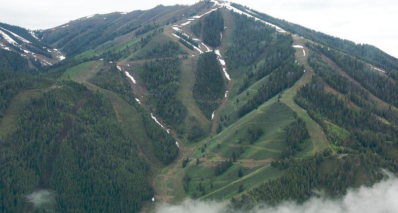
Bald Mountain Trail
This information is a public record of the 1992 NRT application and may be out of date if it has not been updated by a trail manager --
check with the trail manager for updated details before visiting.
check with the trail manager for updated details before visiting.
Bald Mountain Trail
Bureau of Land Management
Backcountry Trail
- Length
5 miles
- Elevation Gain
--
- Route Type
out & back
- Length
5 miles - Elevation Gain
-- - Route Type
out & back
The Bald Mountain Trail begins at River Run and winds its way up Baldy over 4.5 miles of switchbacks.
Location: Just W of Ketchum, climbing Bald Mountain.
- States: Idaho
- Counties: Blaine
The Bald Mountain Trail begins at River Run and winds its way up Baldy over 4.5 miles of switchbacks.
Accessibility Information
No text provided.
Allowed Uses:
No data provided.
Public Contact
BLM, Shoshone Field Office400 West F St.
Shoshone, ID 83352
[email protected]
Contact the trail manager for current maps and visiting details.
More Details
- Elevation (low): --
- Elevation (high): --
- Elevation (cumulative): --
- Part of a Trail System? No
- Surface (primary): Soil
- Surfaces (additional): --
- Tread Width (average): 0"
- Tread Width (minimum): --
- Running length (minimum): --
- Tread Grade (average, percent): --
- Tread Grade (maximum):
- Running length (maximum): --
- Cross-slope (average, percent): --
- Cross-slope (maximum): --
- Running length (maximum): --
- Certified as an NRT
Sep 19, 1992


