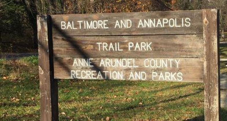
Baltimore & Annapolis Trail Park
check with the trail manager for updated details before visiting.
Baltimore & Annapolis Trail Park
City, Town, or County
Frontcountry Trail
Rail Trail
Urban Trail
- Length
13.3 miles
- Elevation Gain
--
- Route Type
out & back
- Length
13.3 miles - Elevation Gain
-- - Route Type
out & back
Location: Anne Arundel County, MD
- States: Maryland
- Counties: Anne Arundel
The trail is a model urban/suburban rail trail, passing through forest land, quiet open spaces, and horse farms, as well as past schools and through small towns and suburban communities. The Earleigh Heights Park Ranger Station is located at the seven-mile marker. The station was built in 1889 and was used as a combination country store, post office, and railroad ticket office before it was converted to a single-family home and later the ranger station.
Trailblazers, our volunteer "Good Will Ambassadors", focus on visitor services and safety. Youth Group Projects takes a list of trail enhancement projects and recruits members of youth organizations to complete them. For example, Girl Scouts have planted more than 10,000 spring flower bulbs along the trail, and sixty Boy Scouts have completed the service project requirements for their Eagle Scouts rank. Other youth groups have taken part in erosion control projects, trash bashes, and tree plantings. The Friends of Anne Ardunal County Trails are completing Planet Walk, a scale model of the Earth's Solar System that is planned for the trail between Glen Burnie and Severna Park. Each station of the Planet Walk will be an interpretive display featuring sculptures, murals, and paintings that describe the size and characteristics of the individual planets.
Accessibility Information
No text provided.
Allowed Uses:
Bicycling Dogs, on leash Equestrian Hiking/Walking Snow, cross-country skiing Snow, snowshoeingOther Activities
- Fishing
- Snow, snow play general
- Wildlife viewing / observation
Public Contact
David DionneAnne Arundel County
Dept. of Recreation and Parks
Millersville, MD 21108
(410) 222-8820
Contact the trail manager for current maps and visiting details.
More Details
- Elevation (low): --
- Elevation (high): 50
- Elevation (cumulative): --
- Part of a Trail System? No
- National Designations: Legacy Millennium
- Surface (primary): Paved
- Surfaces (additional): Paved
- Tread Width (average): 120"
- Tread Width (minimum): --
- Running length (minimum): --
- Tread Grade (average, percent): 3
- Tread Grade (maximum): 2
- Running length (maximum): --
- Cross-slope (average, percent): --
- Cross-slope (maximum): --
- Running length (maximum): --
- Certified as an NRT
May 31, 2002


