Barr Trail
check with the trail manager for updated details before visiting.
Barr Trail
USDA Forest Service
Backcountry Trail
- Length
13 miles
- Elevation Gain
--
- Route Type
out & back
- Length
13 miles - Elevation Gain
-- - Route Type
out & back
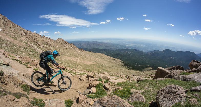
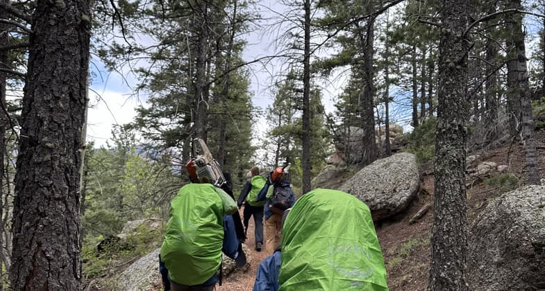
The trail passes through three ecological life zones: Montane, Spruce-fir, and Alpine.
Location: At Manitou Springs W of Colorado Springs on US 24. Connects to Summit of Pikes Peak.
- States: Colorado
Barr Trail, named after its builder, Fred Barr was constructed from 1914 to 1921. The trail passes through three ecological life zones: Montane, Spruce-fir, and Alpine. Wildlife species are common in those zones and are frequently observed. Pikes Peak has been a landmark since before recorded history. It was named for Zebulon Pike who described the Peak in 1806 while exploring the area to the south. The first recorded climb to the summit was in 1820 by Dr. Edwin James of the Stephen H. Long Expedition. At present, over 150,000 visitors per year are estimated to climb the peak on the Barr Trail.
Accessibility Information
No text provided.
Allowed Uses:
Bicycling Hiking/WalkingOther Activities
- Camping
Public Contact
Pike-San Isabel National ForestPike Peaks Ranger District
Colorado Springs, CO 80903
Contact the trail manager for current maps and visiting details.
More Details
- Elevation (low): 6720
- Elevation (high): 14110
- Elevation (cumulative): --
- Part of a Trail System? No
- Surface (primary): --
- Surfaces (additional): --
- Tread Width (average): 0"
- Tread Width (minimum): --
- Running length (minimum): --
- Tread Grade (average, percent): --
- Tread Grade (maximum):
- Running length (maximum): --
- Cross-slope (average, percent): --
- Cross-slope (maximum): --
- Running length (maximum): --
- Certified as an NRT
Nov 15, 1979


