Belle Isle Bicycle Trail
check with the trail manager for updated details before visiting.
Belle Isle Bicycle Trail
City, Town, or County
- Length
0.9 miles
- Elevation Gain
--
- Route Type
out & back
- Length
0.9 miles - Elevation Gain
-- - Route Type
out & back
Belle Isle Park is a jewel on the Detroit River. The public park offers many things to do and see, as well as lots of places to relax, picnic, bike, jog, fish and more.

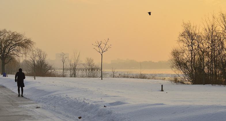
Belle Isle In The Winter. Photo by Tracie Michelle.

Bicylists round the James Scott Memorial Fountain on Detroit's Belle Isle. Photo by Carol M. Highsmith.
Location: In Belle Isle Park, E of downtown Detroit in Detroit River.
- States: Michigan
Belle Isle Park has a bike route that circles around the outer edge of the island. The bike lane is located along the left side of the drive that winds around the park. The bike route is very popular with area cyclists. Joggers and walkers also like to use the bike route and outer drive for exercise.
Fishermen enjoy casting their lines into the Detroit River to catch walleye, catfish, perch, and smallmouth bass from Belle Isle, and the park has several fishing piers. A valid fishing license is required to fish on Michigan waterways, and you can get a Michigan fishing license online at the Michigan Department of Natural Resources E-License website and at bait shops and sporting goods stores.
Baseball diamonds, basketball courts, tennis courts, handball courts, and a football field are located in the middle of the park. Numerous picnic shelters and playgrounds are located on Belle Isle. The picnic tables on the southwest corner of the park provide great views of boats using the Detroit River and downtown Detroit.
Belle Isle Park is home to the Detroit Yacht Club and the Detroit Boat Club; both are located on the north side of the park.
Accessibility Information
No text provided.
Allowed Uses:
Hiking/WalkingPublic Contact
Dick MartinCity of Detroit, Recreation Department
Landscape Design Unit
Detroit, MI 48226
(313) 224-1145
Contact the trail manager for current maps and visiting details.
More Details
- Elevation (low): --
- Elevation (high): --
- Elevation (cumulative): --
- Part of a Trail System? No
- Surface (primary): --
- Surfaces (additional): --
- Tread Width (average): 0"
- Tread Width (minimum): --
- Running length (minimum): --
- Tread Grade (average, percent): --
- Tread Grade (maximum):
- Running length (maximum): --
- Cross-slope (average, percent): --
- Cross-slope (maximum): --
- Running length (maximum): --
- Certified as an NRT
Jan 1, 1972

