Berryman Trail
check with the trail manager for updated details before visiting.
Berryman Trail
USDA Forest Service
Backcountry Trail
- Length
24 miles
- Elevation Gain
--
- Route Type
out & back
- Length
24 miles - Elevation Gain
-- - Route Type
out & back
This multiple use trail makes a 24 mile loop through sparsely settled parts of the Potosi Ranger District in the Mark Twain National Forest.

Location: near Potosi and Steelville.
- States: Missouri
- Counties: Washington
The primary trailhead is located at the Berryman Campground, the original site of a 300-man Civilian Conservation Corps camp that operated from 1937 until the onset of World War II. The trail may also be accessed at the Harmon Springs Campground and Edward Beecher Campground. All the trailhead campgrounds offer primitive camping in a typical Ozark setting.
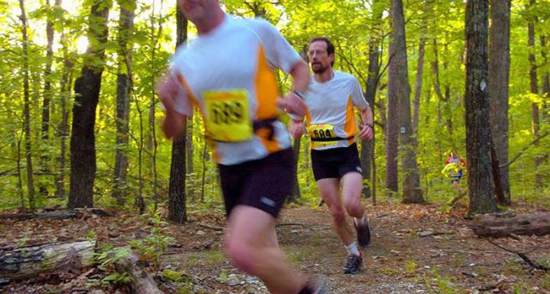
The trail is a narrow, single track winding through strands of pine, oak, and bottomland hardwoods interspersed with open expanses of old fields and rocky glade-like areas. Numerous species of birds, mammals, and plants are abundant. A cave located near Brazil Creek is rumored to have been a hideout of the Jesse James Gang on their frequent trips through this part of the country.
The western half of the Berryman Trail (14.5 miles) is also part of the Ozark Trail. The Ozark Trail is the Midwest's first long-distance trail. It follows a scenic and varied route from the St. Louis metropolitan area southwestward through the Ozarks of Southern Missouri to the Arkansas border where it will join the Ozark Highlands Trail. It also includes an eastern loop that traverses the scenic St. Francois Mountain region. Currently, 350 miles are open, and upon completion, the trail will extend over 700 miles through the heart of the Missouri Ozarks.
Accessibility Information
No text provided.
Allowed Uses:
Bicycling Dogs, on leash EquestrianOther Activities
- Camping
- Wildlife viewing / observation
Public Contact
Mark Twain National ForestPotosi Ranger District
Potosi, MO 63664
[email protected] OR [email protected] • (573) 438-5427
www.fs.fed.us/r9/forests/marktwain/recreation/sites/berryman_trail/index.php+
Contact the trail manager for current maps and visiting details.
More Details
- Elevation (low): --
- Elevation (high): --
- Elevation (cumulative): --
- Part of a Trail System? No
- Surface (primary): Soil
- Surfaces (additional): Soil
- Tread Width (average): 21"
- Tread Width (minimum): --
- Running length (minimum): --
- Tread Grade (average, percent): --
- Tread Grade (maximum):
- Running length (maximum): --
- Cross-slope (average, percent): --
- Cross-slope (maximum): --
- Running length (maximum): --
- Certified as an NRT
Jan 31, 1980