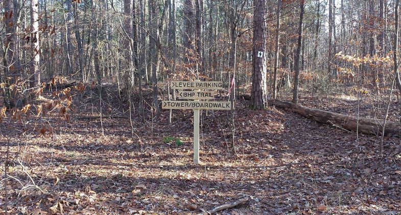
Big Hill Pond
This information is a public record of the 1979 NRT application and may be out of date if it has not been updated by a trail manager --
check with the trail manager for updated details before visiting.
check with the trail manager for updated details before visiting.
Big Hill Pond
State
Frontcountry Trail
- Length
8.3 miles
- Elevation Gain
--
- Route Type
out & back
- Length
8.3 miles - Elevation Gain
-- - Route Type
out & back
Location: At Big Hill Pond State Recreation Area between Pocahontas and Ramer on State Route 57.
- States: Tennessee
This trail overlays the Dry Ridge Trail, and Black Trail on the west side of John Howell Road. The trail crosses the gravel road in two places and has two trail intersections with the Azalea Spring Day Loop and the Dry Ridge Trail.
Accessibility Information
No text provided.
Allowed Uses:
Hiking/WalkingPublic Contact
Department of Conservation2611 West End Ave.
Nashville, TN 37203
Contact the trail manager for current maps and visiting details.
More Details
- Elevation (low): --
- Elevation (high): --
- Elevation (cumulative): --
- Part of a Trail System? No
- Surface (primary): --
- Surfaces (additional): --
- Tread Width (average): 0"
- Tread Width (minimum): --
- Running length (minimum): --
- Tread Grade (average, percent): --
- Tread Grade (maximum):
- Running length (maximum): --
- Cross-slope (average, percent): --
- Cross-slope (maximum): --
- Running length (maximum): --
- Certified as an NRT
May 20, 1979


