Big Springs Water Trail
check with the trail manager for updated details before visiting.
Big Springs Water Trail
USDA Forest Service
Backcountry Trail
- Length
5 miles
- Elevation Gain
--
- Route Type
out & back
- Length
5 miles - Elevation Gain
-- - Route Type
out & back
Big Springs is the headwaters of Henry's Fork and is one of the largest springs in the country.
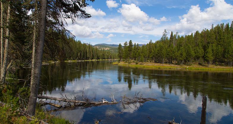
Henry's Fork of the Snake River near the Coffee Pot Rapids area near Island Park, Idaho. Photo by wiki James N Perdue.
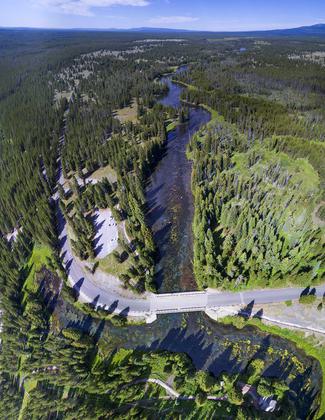
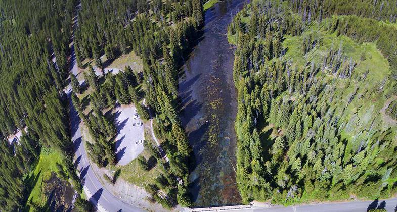
Aerial View from Big Springs including the Henry's Fork of the Snake River that begins at this location. Photo by wiki James N Perdue.
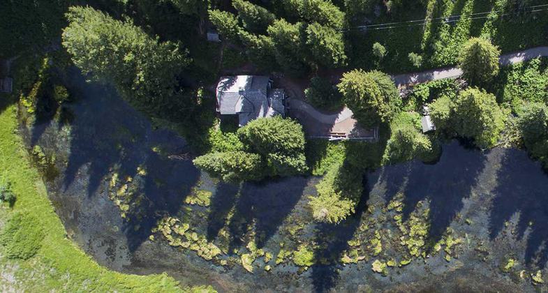
Johnny Sack Cabin from above, at Big Springs, Island Park, Idaho. Photo by wiki James N Perdue.
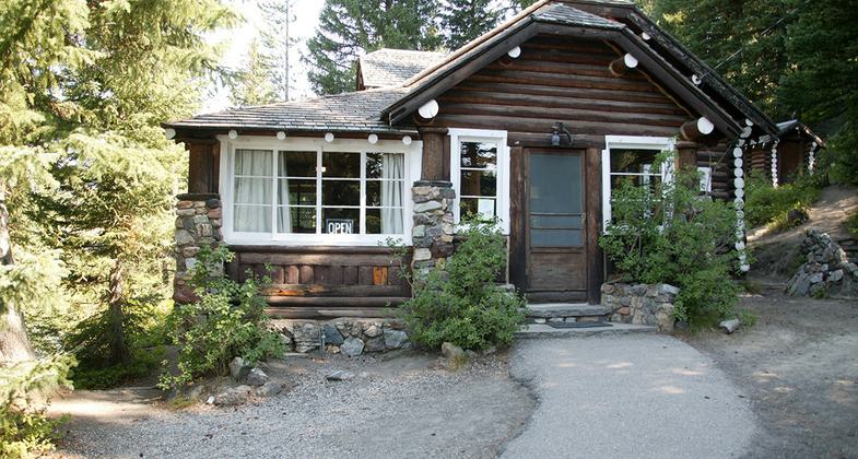
Johnny Sack Cabin at Big Springs, Island Park, Idaho. Photo by wiki James N Perdue.
Location: On Henry Fork of Snake R off SR 84, ¾ mi. W of Big Springs.
- States: Idaho
- Counties: Fremont
Big Springs is the headwaters of Henry's Fork and is one of the largest springs in the country. Henry's Fork is considered one of the best fly-fishing streams in the nation. Fishermen cast for rainbow and brook trout. Tubing, canoeing, kayaking, and rafting are also popular on the river.
The Big Springs National Recreation Water Trail can be accessed from the campground and ends 4.5 miles away at Macks Inn. It offers a lazy three-hour float or canoe trip through beautiful scenery. Wildlife, including moose, bald eagles, and Sandhill cranes are often seen along the trail.
The charming and historic John Sack Cabin is nearby, noted for its unique location, construction, and furnishings.
Hiking, biking, horseback riding, and ATVing are popular activities. Many miles of trails crisscross Island Park, including the Continental Divide National Scenic Trail and the Nez Perce Trail are in the area.
Accessibility Information
No text provided.
Allowed Uses:
Hiking/WalkingOther Activities
- Wildlife viewing / observation
Public Contact
Caribou-Targhee National Forest1405 Hollipark Drive
Idaho Falls, ID
(208) 557-5900
Contact the trail manager for current maps and visiting details.
More Details
- Elevation (low): --
- Elevation (high): --
- Elevation (cumulative): --
- Part of a Trail System? No
- Surface (primary): --
- Surfaces (additional): --
- Tread Width (average): 0"
- Tread Width (minimum): --
- Running length (minimum): --
- Tread Grade (average, percent): --
- Tread Grade (maximum):
- Running length (maximum): --
- Cross-slope (average, percent): --
- Cross-slope (maximum): --
- Running length (maximum): --
- Certified as an NRT
Jan 7, 1981

