Black Creek Hiking Trail
check with the trail manager for updated details before visiting.
Black Creek Hiking Trail
USDA Forest Service
Backcountry Trail
- Length
41 miles
- Elevation Gain
--
- Route Type
out & back
(1 review)
- Length
41 miles - Elevation Gain
-- - Route Type
out & back
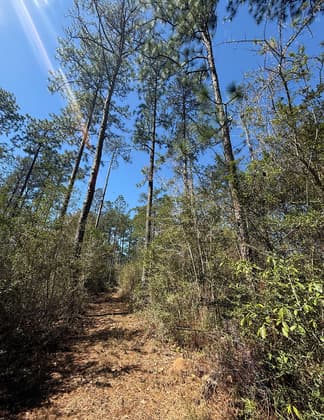
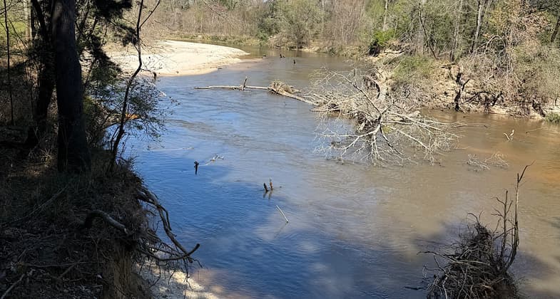
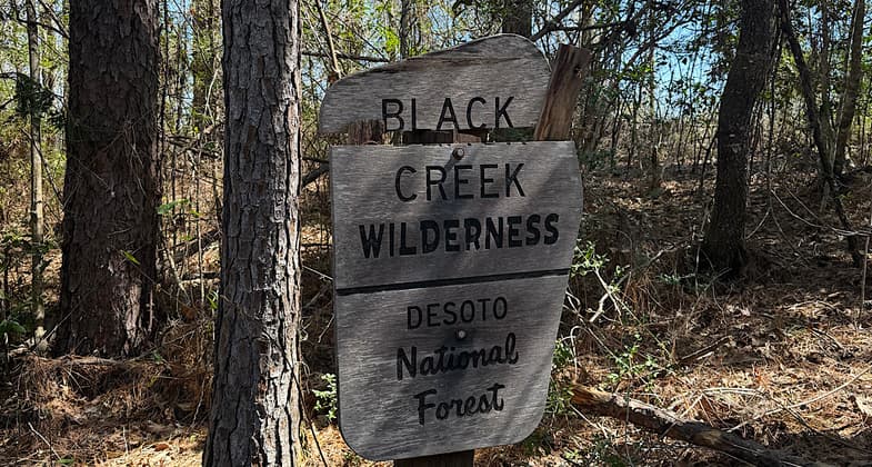
Mississippi's longest trail stretches for 41 miles, from Big Creek Landing to Fairley Bridge Landing. Hikers can travel from one to several days over rolling hills and through the flat land of the Black Creek flood plain. About ten miles of the trail passes through the Black Creek Wilderness.
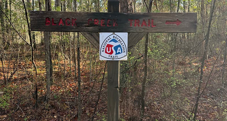
photo by Trish Ellis. Photo by Patricia Ellis
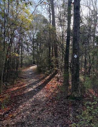
photo by Trish Ellis
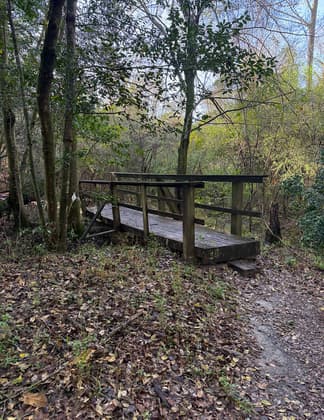
photo by Trish Ellis
photo by Trish Ellis
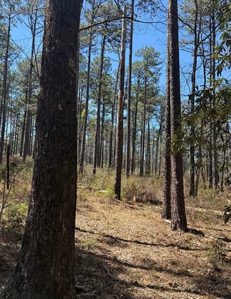
photo by Trish Ellis
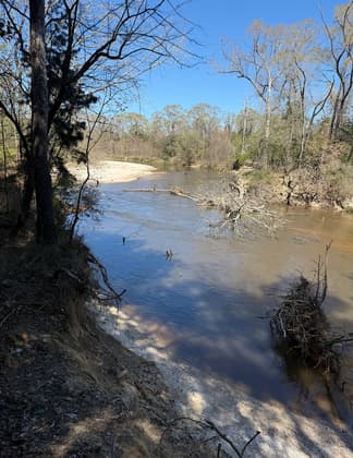
photo by Trish Ellis
Trish Ellis
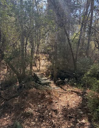
photo by Trish Ellis
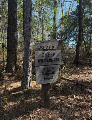
Photo by Trish Ellis
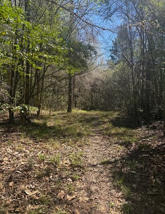
Photo by Trish Ellis

Location: DeSoto National Forest, Crosses DeSoto National Forest from NW of Wiggins to Paul B. Johnson State Park SE of Hattiesburg.
- States: Mississippi
- Counties: Forrest, Perry
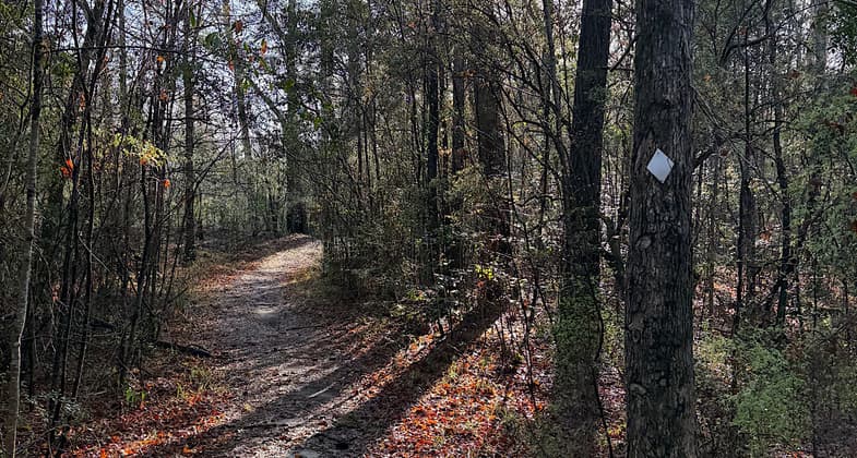
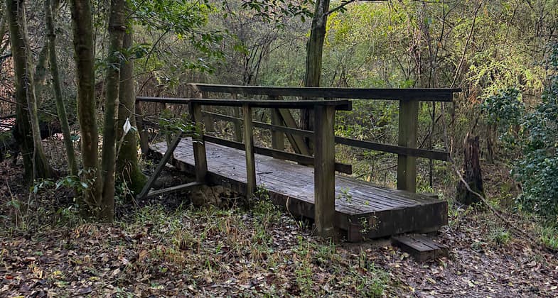
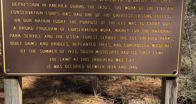
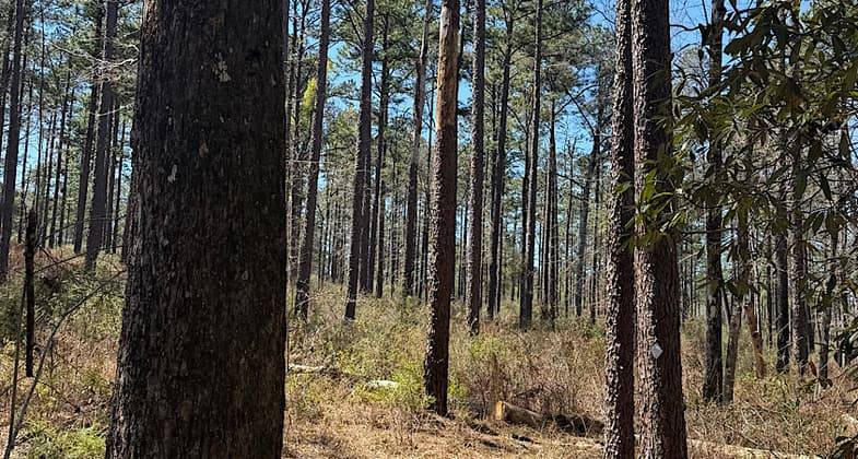
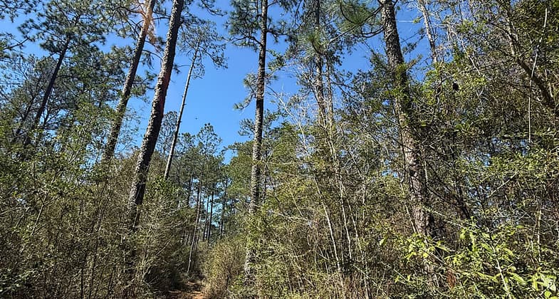
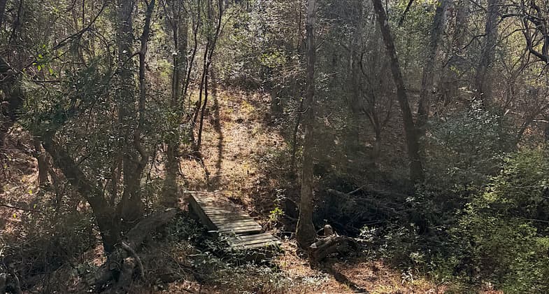
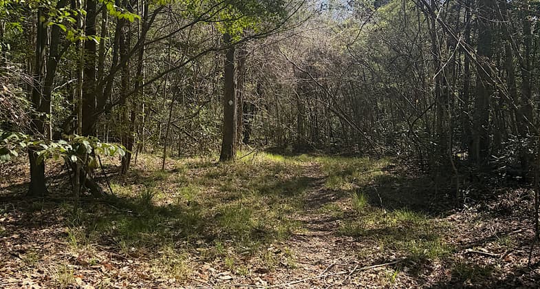
Discover the hidden beauty of the piney woods in the Gulf Coastal Plain by hiking one of Mississippi's longest and most challenging trails. The Black Creek Hiking Trail continues for 39 miles along the Black Creek River. Hikers can access the trail from Black Creek Trailhead, Fairley Bridge Landing, and Big Creek Landing. The trail climbs over rolling hills and meanders down through the flat land of the Black Creek floodplain. Over 100 bridges and boardwalks have been constructed to provide crossing over small streams and ponds. Approximately 10 miles of the trail is located in the Black Creek Wilderness. No drinking water is available along the trail. Only foot travel is permitted on the trail.
Black Creek Hiking Trail is open year-round unless weather conditions require the trail to be closed. No user fees are required.
Accessibility Information
No text provided.
Reviews
Trish Ellis
Great trail, just needs some maintenance
Many of the bridges are damaged which is why this trail gets four stars instead of five. Otherwise, this is a thoroughly enjoyable trail through the pine forests with frequent views of the river. The bridges are easily crossed with care in spite of the damage. A few hills here and there, but it never gets steep. Did this over the course of five day-hikes on March 16, 17, 19, 20, and 21, 2025. Did not camp, though one easily can at many places along the trail. I also noticed people camping at two of the trail’s parking areas. Note the area is popular hunting ground so wear your orange during fall and spring hunting seasons.
Allowed Uses:
Hiking/WalkingPublic Contact
DeSoto Ranger DistrictP.O. Box 248
Wiggins, MS 39577
(601) 528-6160
www.fs.usda.gov/detail/mississippi/about-forest/districts/?cid=stel
Contact the trail manager for current maps and visiting details.
More Details
- Elevation (low): 60
- Elevation (high): 300
- Elevation (cumulative): --
- Part of a Trail System? No
- Surface (primary): Soil
- Surfaces (additional): Soil
- Tread Width (average): 30"
- Tread Width (minimum): --
- Running length (minimum): --
- Tread Grade (average, percent): 2
- Tread Grade (maximum): 25
- Running length (maximum): --
- Cross-slope (average, percent): --
- Cross-slope (maximum): --
- Running length (maximum): --
- Certified as an NRT
Jan 27, 1985