Blackstone River Bikeway
check with the trail manager for updated details before visiting.
Blackstone River Bikeway
- Length
9 miles - Elevation Gain
-- - Route Type
out & back
The bikeway is a recreational trail as well as alternative transportation facility which connects New England's 2nd and 3rd largest cities: Providence, RI to Worcester, MA.
Location: Providence, RI to Worcester, MA, Railtrail/canalway joins Providence, RI, to Worcester, MA.
- States: Rhode Island
- Counties: Providence
The bikeway is a recreational trail and alternative transportation facility that connects New England's 2nd and 3rd largest cities: Providence, RI to Worcester, MA. This bi-state facility connects 15 Preserve America municipalities along the Blackstone River, an American Heritage River. It is also the center of the National Park Service's John H. Chafee Blackstone River Valley National Heritage Corridor.
The revitalization this trail has created along the banks of the Blackstone River has been phenomenal. This little river has an important history, being involved at the beginning of the American Industrial Revolution in the 1870s, and today the river is once again the center of attention. The Chamber of Commerce is so pleased with this trail that they created a website for it, www.blackstoneriverbikeway.com
Although portions of the Bikeway are still under design and construction, we are seeking NRT designation for the completed nine miles. We feel the designation will go a long way in helping move the project to final completion.
Accessibility Information
No text provided.
Reviews
Janie
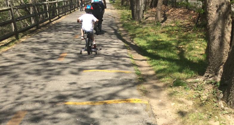
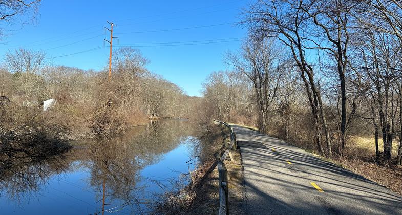
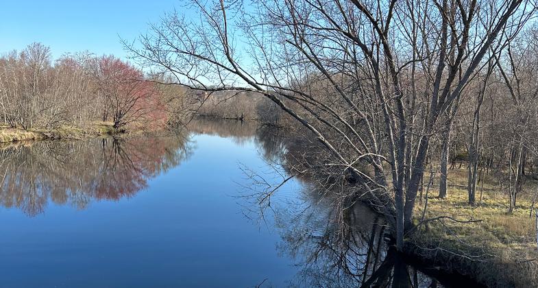
Gorgeous scenery, great bike path
"This bikeway goes all the way to Worcester, MA, but the National Recreation Trail part of it is just the nine paved miles from the southern terminus near Lincoln, RI to Woonsocket. The online map states it’s eleven miles, but my phone app says it’s nine. Whichever it is, it goes by easy since it is flat, paved, and almost constantly next to the river and lovely scenery. I greatly enjoyed my hike. I saw turtles, geese, blue heron, ducks, swans, pheasants, turkeys, and, of course, people. This was truly a peaceful nature walk in spite of the close proximity to houses, highways, and towns. An enthusiastic thumbs up."
Susan Walsh
All paved, great for biking
I enjoy biking this trail as it's paved and fairly level. Lots of pretty water scenery. I've even thought of bringing my roller skates!
Allowed Uses:
Bicycling Boating, motorized Hiking/WalkingPublic Contact
Bob SuttonRI Dept. of Environmantal Mang.
235 Promenade St.
Providence, RI 2908
rsutton@dem.state.ri.us • (401) 222-2776 ext. 43
www.blackstoneriverbikeway.com
Contact the trail manager for current maps and visiting details.
More Details
- Elevation (low): --
- Elevation (high): 150
- Elevation (cumulative): --
- Part of a Trail System? No
- Surface (primary): Paved
- Surfaces (additional): Paved
- Tread Width (average): 127"
- Tread Width (minimum): --
- Running length (minimum): --
- Tread Grade (average, percent): 2
- Tread Grade (maximum): 5
- Running length (maximum): --
- Cross-slope (average, percent): --
- Cross-slope (maximum): --
- Running length (maximum): --
- Certified as an NRT
Jun 3, 2005


