Boulder Cave Trail
check with the trail manager for updated details before visiting.
Boulder Cave Trail
USDA Forest Service
Backcountry Trail
- Length
0.8 miles
- Elevation Gain
--
- Route Type
out & back
- Length
0.8 miles - Elevation Gain
-- - Route Type
out & back
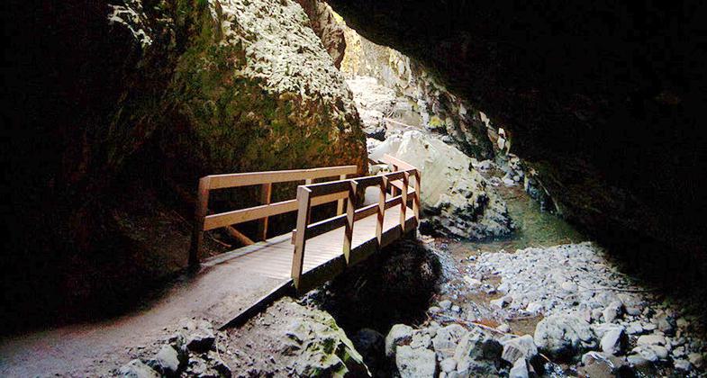
The Boulder Cave Trail is a gravel path traveling to Boulder Cave. A flashlight is useful in the center portion of the cave.

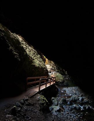
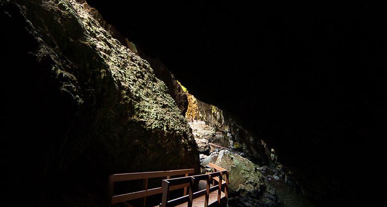
Bridge through Boulder Cave. Photo by Samantha Levang.

Bridge Through Boulder Cave. Photo by Samantha Levang.
Location: In Wenatchee National Forest, 41 mi. NW of Yakima on SR 410.
- States: Washington
- Counties: Yakima
The Boulder Cave Trail is less than two miles long round trip.
The gravel trail runs along the edge of a deep ravine, climbing gradually through a forest of Douglas-fir and Ponderosa pine trees. Devil's Creek flows through the bottom of the ravine, framed by trees and several species of broad-leafed shrubs. In autumn, the golden tones of the leaves splash new colors across the landscape, contrasting sharply with the evergreen forest.
Approximately 400 feet from the cave, the trail narrows and descends to bring the visitor to the entrance. A flashlight is useful in the center portion of the cave. A visit to the cave is a cool treat on a warm summer day.
Accessibility Information
No text provided.
Allowed Uses:
Dogs, on leash Hiking/WalkingOther Activities
- Caving
Public Contact
Jon RegetzWenatchee National Forest
Naches Ranger District
Naches, WA 98937
[email protected] • (509) 653-1438
Contact the trail manager for current maps and visiting details.
More Details
- Elevation (low): 2400
- Elevation (high): 2500
- Elevation (cumulative): --
- Part of a Trail System? No
- National Designations: National Recreation Trail
- Surface (primary): Rock, crushed
- Surfaces (additional): Rock, crushed
- Tread Width (average): 48"
- Tread Width (minimum): --
- Running length (minimum): --
- Tread Grade (average, percent): 7
- Tread Grade (maximum): 15
- Running length (maximum): --
- Cross-slope (average, percent): --
- Cross-slope (maximum): --
- Running length (maximum): --
- Certified as an NRT
May 5, 1980


