Boulder Loop Trail
This information is a public record of the 1980 NRT application and may be out of date if it has not been updated by a trail manager --
check with the trail manager for updated details before visiting.
check with the trail manager for updated details before visiting.
Boulder Loop Trail
USDA Forest Service
Backcountry Trail
- Length
2.8 miles
- Elevation Gain
--
- Route Type
out & back
(1 review)
- Length
2.8 miles - Elevation Gain
-- - Route Type
out & back
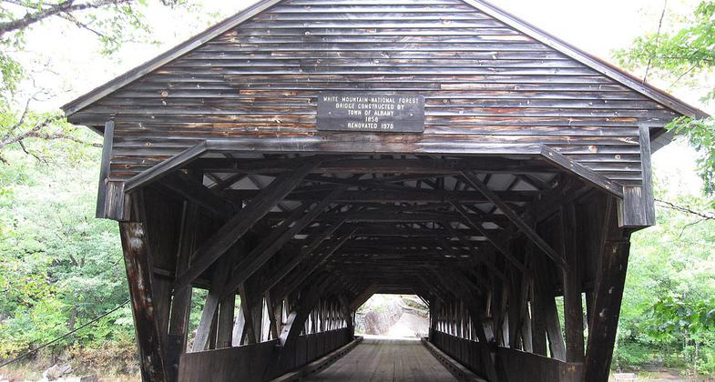
The Albany bridge was built in 1858 across the Swift River in New Hampshire. Photo by Earl Mcgehee.
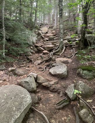
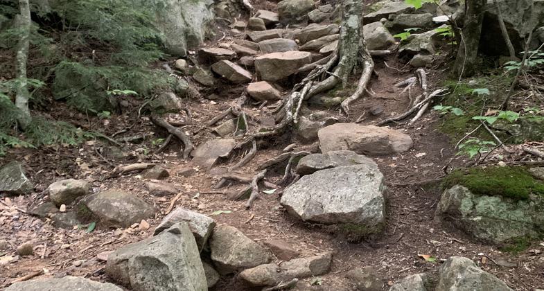
The trail. Photo by Janie Walker.
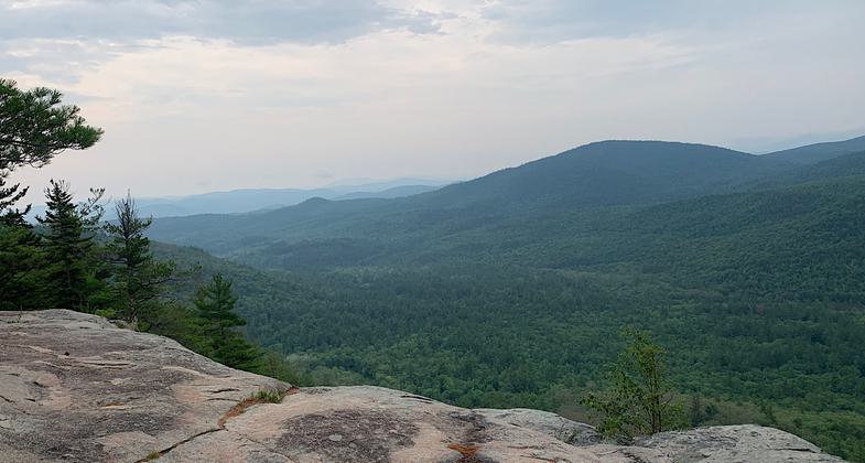
Views from ledges. Photo by JanieWalker.
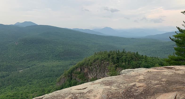
View from ledges. Photo by Janie Walker.
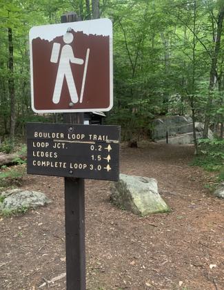
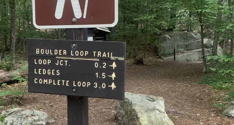
Trailhead. Photo by Janie Walker.
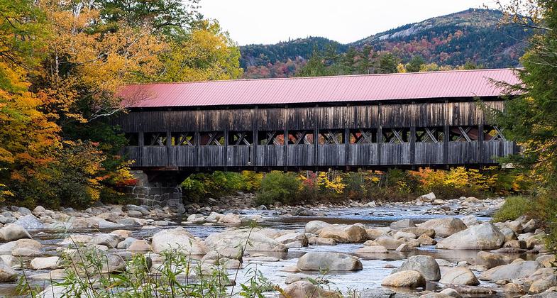
Albany Covered Bridge located in Albany, New Hampshire. Photo by Waz8.
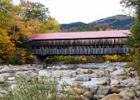
Location: Albany, NH, off Kancamgus Highway
- States: New Hampshire
- Counties: Carroll
Gradual climb with some step pitches. Views of Mt Chocorua and the Swift River Valley from the ledges. Moderate difficulty. 2-4 hours round trip. Through broad-leafed/evergreen forests.
Accessibility Information
No text provided.
Reviews
Janie Walker
Boulder Loop Trail
This trail begins past the covered bridge. Typical White Mountain trail - rocks, boulders, and roots are your footbed, and there are lovely views at the ledges up top (make sure you take the spur path at the"Views" sign). Elevation gain is 900 feet. $5 for parking, and that lot fills up early on the weekends.
Allowed Uses:
Bicycling Dogs, on leash Hiking/Walking Snow, cross-country skiing Snow, snowshoeingOther Activities
- Camping
- Snow, snow play general
- Wildlife viewing / observation
Public Contact
Cristin BaileyWhite Mountain National Forest
Saco Ranger District
Conway, NH 3818
[email protected] • (603) 447-5448
Contact the trail manager for current maps and visiting details.
More Details
- Elevation (low): 860
- Elevation (high): 1750
- Elevation (cumulative): --
- Part of a Trail System? No
- Surface (primary): Soil
- Surfaces (additional): --
- Tread Width (average): 36"
- Tread Width (minimum): --
- Running length (minimum): --
- Tread Grade (average, percent): 15
- Tread Grade (maximum): 35
- Running length (maximum): --
- Cross-slope (average, percent): --
- Cross-slope (maximum): --
- Running length (maximum): --
- Certified as an NRT
May 31, 1980