Buckskin Nature Trail
This information is a public record of the 1980 NRT application and may be out of date if it has not been updated by a trail manager --
check with the trail manager for updated details before visiting.
check with the trail manager for updated details before visiting.
Buckskin Nature Trail
U.S. Corps of Engineers
Backcountry Trail
- Length
0.5 miles
- Elevation Gain
--
- Route Type
out & back
- Length
0.5 miles - Elevation Gain
-- - Route Type
out & back
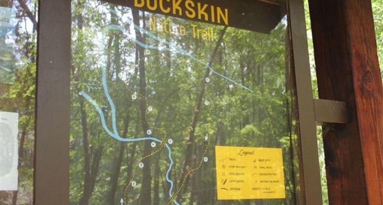
Buckskin Nature Trail is a 0.5 mile nature trail with interpretive markers along the trail that identify common features of the area.
Location: Rural, On Lake Ouachita at Denby Point Recreation Area, 27 mi. W of Hot Springs.
- States: Arkansas
- Counties: Montgomery
- Cities/Townships: N/A
Buckskin Nature Trail is a 0.5-mile interpretive trail located in Denby Point Recreation Area. The trail will take approximately 40 minutes to complete. Guidebooks are available that correspond with the trail markers that identify unique and common features of the area. Buckskin Nature Trail joins Woodpecker Hollow Nature Trail, which is also a 0.5-mile interpretive trail.
Accessibility Information
No text provided.
Allowed Uses:
Bicycling Dogs, on leash Hiking/WalkingOther Activities
- Camping
- Wildlife viewing / observation
Public Contact
Amy ShultzU.S. Army Corps of Engineers
1201 Blakely Dam Road
Royal, AR 71968
[email protected] • (501) 767-2108
Contact the trail manager for current maps and visiting details.
More Details
- Elevation (low): --
- Elevation (high): --
- Elevation (cumulative): --
- Part of a Trail System? No
- Surface (primary): Soil
- Surfaces (additional): Grass or Vegetation
- Tread Width (average): 48"
- Tread Width (minimum): --
- Running length (minimum): --
- Tread Grade (average, percent): --
- Tread Grade (maximum):
- Running length (maximum): --
- Cross-slope (average, percent): --
- Cross-slope (maximum): --
- Running length (maximum): --
- Certified as an NRT
Apr 8, 1980


