Bumpass Hell
check with the trail manager for updated details before visiting.
Bumpass Hell
National Park Service
Backcountry Trail
- Length
1.5 miles
- Elevation Gain
--
- Route Type
out & back
- Length
1.5 miles - Elevation Gain
-- - Route Type
out & back
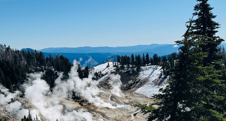
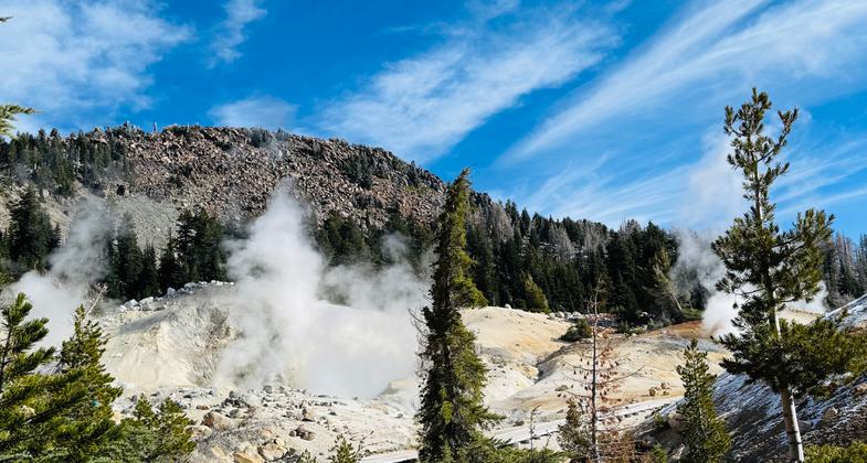
Bumpass Hell is the largest concentration of hydrothermal features in Lassen Volcanic National Park.

Photo by Nicole Shannon


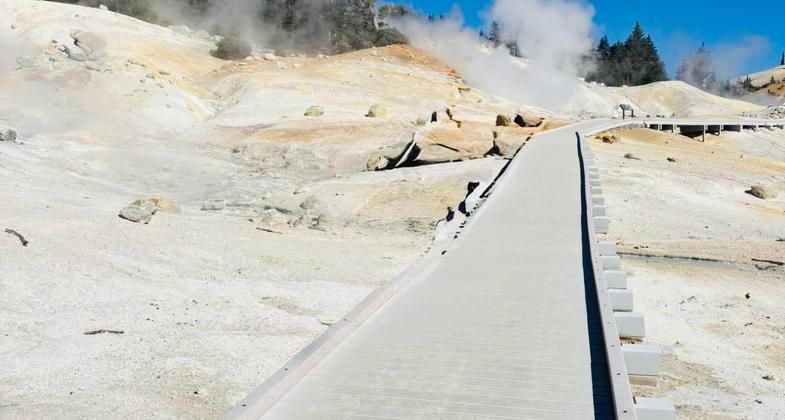
Boardwalk on Bumpass Hell National Recreation Trail, Lassen Volcanic National Park, CA (Photographer: Michael Stark)
Location: In Lassen Volcanic National Park between Bumpass Mtn. and Mt. Dillon.
- States: California
- Counties: Shasta
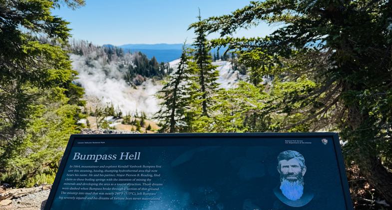
Bumpass Hell was named after an early settler who severely burned a leg after falling into a boiling pool. The hydrothermal features can be reached today from a well-marked 1.5-mile trail that starts from a parking area opposite Lake Helen. A visit to Lassen is not complete without a stop at Bumpass Hell.
The trail is quite easy, though the altitude (8,000 feet) can make the trail seem moderately difficult. Hiking boots are recommended as the trail crosses generally rocky land with some tree cover, and without much change in elevation until the 100-foot drop into the thermally active basin. The active area can be seen and smelled from far away - a wide basin filled with various steaming pools and unusual multi-colored soils, stained orange, brown, yellow, and green by sulfur and other minerals. Together with the occasional white snow patches, the (usually) deep blue sky, and the aquamarine waters, the spectacle is extremely beautiful and colorful.
Accessibility Information
No text provided.
Allowed Uses:
Hiking/WalkingPublic Contact
Stuart NussLassen Volcanic National Park
P.O. Box 100
Mineral, CA 96063
Contact the trail manager for current maps and visiting details.
More Details
- Elevation (low): --
- Elevation (high): --
- Elevation (cumulative): --
- Part of a Trail System? No
- Surface (primary): Soil
- Surfaces (additional): Boardwalk
- Tread Width (average): 0"
- Tread Width (minimum): --
- Running length (minimum): --
- Tread Grade (average, percent): --
- Tread Grade (maximum):
- Running length (maximum): --
- Cross-slope (average, percent): --
- Cross-slope (maximum): --
- Running length (maximum): --
- Certified as an NRT
Mar 19, 1981

