Cameron Park Trails
check with the trail manager for updated details before visiting.
Cameron Park Trails
City, Town, or County
Backcountry Trail
- Length
20 miles
- Elevation Gain
--
- Route Type
out & back
- Length
20 miles - Elevation Gain
-- - Route Type
out & back

Mountain Bike Races in Cameron Park.

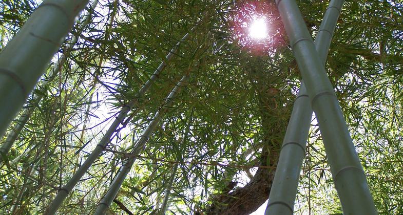
Cameron Park Bamboo Forest.

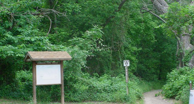
Trail Entrance.

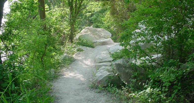
River Trail.
Location: Waco, Texas, At Cameron Park west of Herring Avenue along south shore of Lake Brazos and the Bosque River.
- States: Texas
- Counties: McLennan
Cameron Park features one of the most recognized natural trail systems in Texas. In an area known for farmland, the trails zig-zag and climb 100-foot bluffs that overlook the Brazos and Bosque Rivers. The daring can rip down trails like Vortex and Root Canal, or for a slower pace, park visitors can stroll along the River Trail and bamboo-filled California 56. With handcrafted bridges, varying terrain, and breathtaking views, the trails provide countless outdoor adventures. The local ecosystem is on display with wildlife and native vegetation throughout the park. Home to mountain bike races, community events, and weekly walks, the Cameron Park Trails give people of all ages a place to experience the Great Outdoors.
Accessibility Information
No text provided.
Allowed Uses:
Dogs, on leash Hiking/WalkingOther Activities
- Fishing
Public Contact
Kim JenningsCity of Waco Parks and Recreation Department
201 W. Waco Dr.
Waco, TX 76707
[email protected] • (254) 750-8057
Contact the trail manager for current maps and visiting details.
More Details
- Elevation (low): 403
- Elevation (high): 512
- Elevation (cumulative): --
- Part of a Trail System? No
- Surface (primary): Soil
- Surfaces (additional): --
- Tread Width (average): 48"
- Tread Width (minimum): --
- Running length (minimum): --
- Tread Grade (average, percent): --
- Tread Grade (maximum):
- Running length (maximum): --
- Cross-slope (average, percent): --
- Cross-slope (maximum): --
- Running length (maximum): --
- Certified as an NRT
May 25, 2009

