Cascade Springs
check with the trail manager for updated details before visiting.
Cascade Springs
USDA Forest Service
- Length
0.9 miles
- Elevation Gain
--
- Route Type
out & back
- Length
0.9 miles - Elevation Gain
-- - Route Type
out & back
The Cascade Springs Interpretive Trail is a short walk over a paved and boardwalk path where you can spend time enjoying the rushing waters and trout darting through the pools.

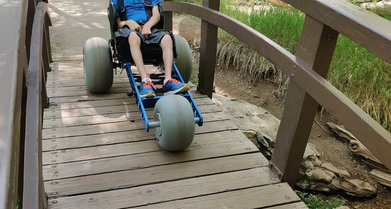
Exploring the Cascade Springs Trail with an Extreme Motus all-terrain wheelchair. Photo by Ryan Grassley
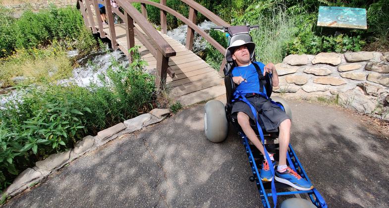
Exploring the Cascade Springs Trail with an Extreme Motus all-terrain wheelchair.

Exploring the Cascade Springs Trail with an Extreme Motus all-terrain wheelchair.
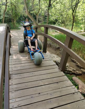
Exploring the Cascade Springs Trail with Extreme Motus all-terrain wheelchair.
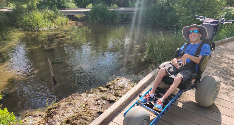
Winner 2024 NRT Photo Contest, Accessibility
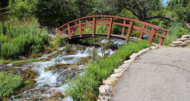
Bridge crossing spring. Photo by GJHikes.
Location: In the Uinta NF, 28 mi. NE of Provo.
- States: Utah
- Counties: Wasatch
This is a natural history trail. The interpretive signs identify various indigenous plants, animals, geological formations, and human history associated with the area. The Native Americans used this location for winter camps and the settlers in the surrounding area were dependent on the water that flowed from the spring. Wildlife is attracted to the area in late summer and early autumn when water is scarce. Because of the diversity of native plants, the fall colors in the area around the springs are spectacular and attract many visitors.
Accessibility Information
No text provided.
Allowed Uses:
Hiking/WalkingPublic Contact
John BrownUnita National forest
390 N. 100 East
Pleasant Grove, UT 84062
[email protected] • (801) 785-3563
Contact the trail manager for current maps and visiting details.
More Details
- Elevation (low): 6270
- Elevation (high): 6270
- Elevation (cumulative): --
- Part of a Trail System? No
- Surface (primary): Paved
- Surfaces (additional): Paved, Boardwalk
- Tread Width (average): 36"
- Tread Width (minimum): --
- Running length (minimum): --
- Tread Grade (average, percent): 2
- Tread Grade (maximum):
- Running length (maximum): --
- Cross-slope (average, percent): --
- Cross-slope (maximum): --
- Running length (maximum): --
- Certified as an NRT
Nov 28, 1978

