Cedar Creek Self-Guiding Trail
check with the trail manager for updated details before visiting.
Cedar Creek Self-Guiding Trail
State
- Length
1.5 miles
- Elevation Gain
--
- Route Type
out & back
- Length
1.5 miles - Elevation Gain
-- - Route Type
out & back
This trail winds along a scenic section of Cedar Creek above Cedar Falls. Constructed by the Civilian Conservation Corps in the early 1930's, this trail's rock steps and bluffs create a few difficult places.

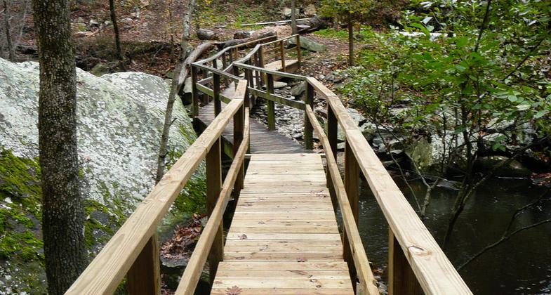
Bridge over Cedar Creek on Cedar Creek Trail. Photo by Bryan Hodges.

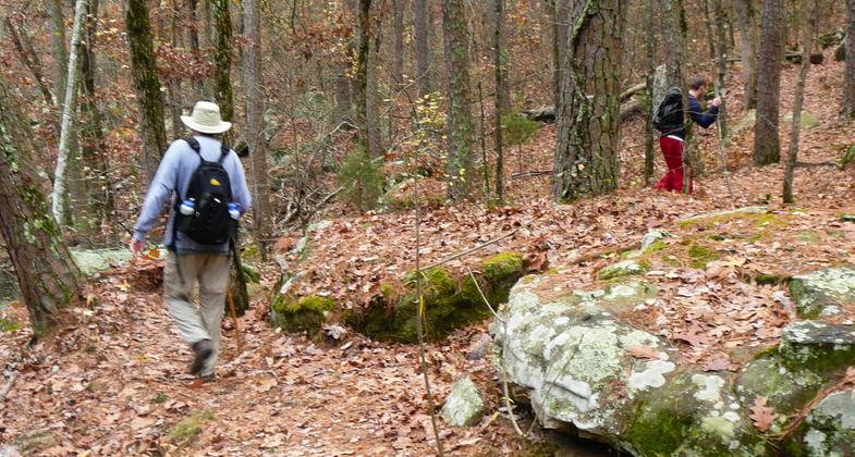
Hikers on Cedar Creek Trail. Photo by Bryan Hodges.
Location: At Petit Jean SP, 18 mi. SW of Morrilton.
- States: Arkansas
This trail winds along a scenic section of Cedar Creek above Cedar Falls. Constructed by the Civilian Conservation Corps in the early 1930s, this trail's rock steps and bluffs create a few difficult places. The mountain stream, high bluffs, and thick vegetation make Cedar Creek Trail perfect for experiencing local bird and plant life. A guide to the trail is available at Mather Lodge and at the park Visitor Center. (Dark Pink Blazes)
Accessibility Information
No text provided.
Allowed Uses:
Hiking/WalkingPublic Contact
Ken EastinArkansas Dept. of Parks & Tourism
1 Capitol Mall
Little Rock, AR 72201
Contact the trail manager for current maps and visiting details.
More Details
- Elevation (low): --
- Elevation (high): --
- Elevation (cumulative): --
- Part of a Trail System? No
- Surface (primary): --
- Surfaces (additional): --
- Tread Width (average): 0"
- Tread Width (minimum): --
- Running length (minimum): --
- Tread Grade (average, percent): --
- Tread Grade (maximum):
- Running length (maximum): --
- Cross-slope (average, percent): --
- Cross-slope (maximum): --
- Running length (maximum): --
- Certified as an NRT
Apr 27, 1975

