Centennial Trail
check with the trail manager for updated details before visiting.
Centennial Trail
USDA Forest Service
Backcountry Trail
- Length
111 miles
- Elevation Gain
--
- Route Type
out & back
- Length
111 miles - Elevation Gain
-- - Route Type
out & back

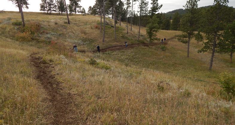
Finishing touches on the trail. Photo by Ryan Larson.

Fort Meade Horse Endurance Race on the Centennial Trail. Photo by Ryan Larson.

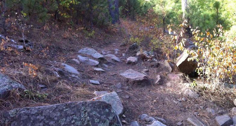
Rock challenges on the trail. Photo by Singletracks/GTXC4.
Location: Black Hills National Forest
- States: South Dakota
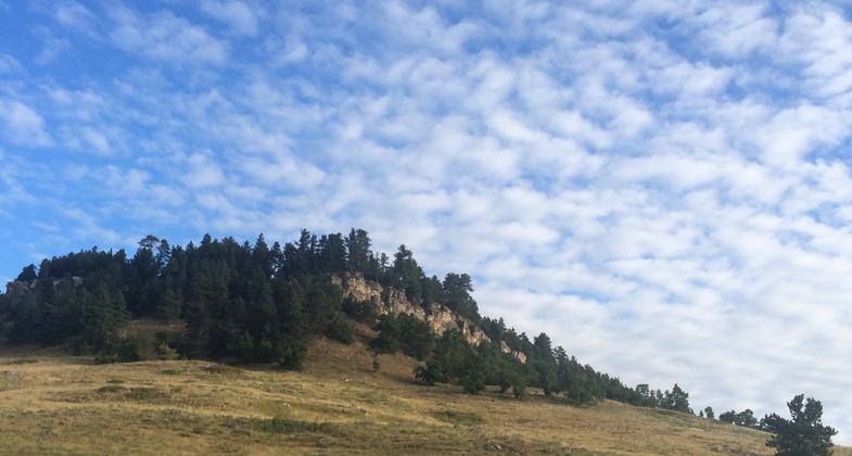
Centennial Trail provides a full range of non-motorized uses in a variety of natural settings. One 15-mile segment of the trail is currently open to ATV users. The trail passes through two state parks, BLM Lands, one national park, and the forest. The trail passes near a national memorial and a national cemetery. Trail users will experience a full range of natural environments, including open high plains, forests, meadows, riparian areas, and rock outcrops. Elevation extremes are 3200 feet and 5800 feet. The average elevation is around 5000 feet. Most steeper sections are short, less than half a mile long. Elevation changes between the valley and ridgetop are typically 200 to 500 feet.
Accessibility Information
No text provided.
Allowed Uses:
No data provided.
Other Activities
- Camping
Public Contact
Jamie SchwartzUSFS
740 Simms St.
Lakewood, CO 80225
(303) 275-5354
Contact the trail manager for current maps and visiting details.
More Details
- Elevation (low): 3200
- Elevation (high): 5800
- Elevation (cumulative): --
- Part of a Trail System? No
- Surface (primary): --
- Surfaces (additional): --
- Tread Width (average): 0"
- Tread Width (minimum): --
- Running length (minimum): --
- Tread Grade (average, percent): --
- Tread Grade (maximum):
- Running length (maximum): --
- Cross-slope (average, percent): --
- Cross-slope (maximum): --
- Running length (maximum): --
- Certified as an NRT
Jun 3, 2005

