Chippewa River Water Trail
check with the trail manager for updated details before visiting.
Chippewa River Water Trail
City, Town, or County
National Water Trail
- Length
4.2 miles
- Elevation Gain
--
- Route Type
out & back
- Length
4.2 miles - Elevation Gain
-- - Route Type
out & back
The immensely popular Chippewa River Water Trail courses through historic downtown of Eau Claire, WI. Though the 4.2 mile water trail flows through an urban landscape it is endowed with natural beauty: clean water and strong fishery, native grasses and trees, sandstone cliffs and cave formations. The Chippewa River Water Trail provides a conduit for paddlers to retrace the former logging paths of the mid-1800's and understand the river's role as economic and cultural driver for the city.
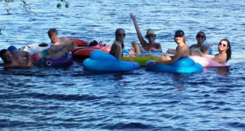
CRWT Tubing: Fav University of WI Student Activity. Photo by National Park Service
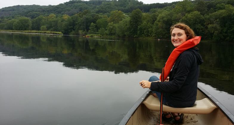
Assessing the CRWT
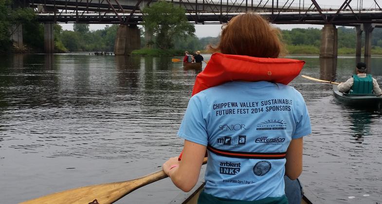
Enjoying the CRWT
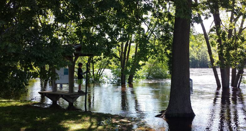
Canoe access sites along the CRWT also offer other recreation and education opportunities
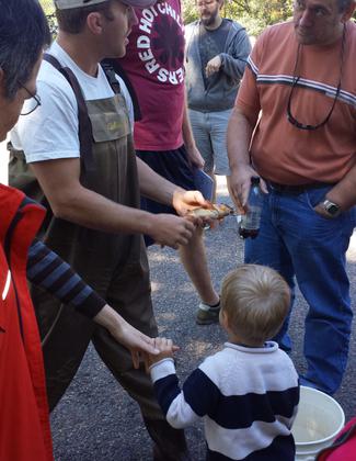
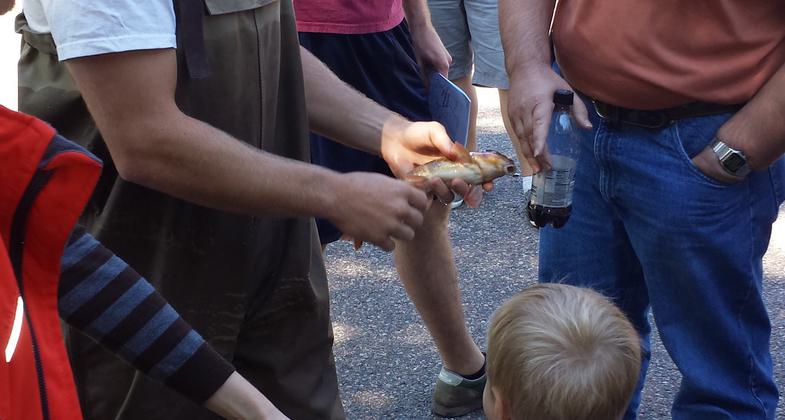
Annual "Celebrate the Chippewa River" event in Eau Claire includes electrofishing demonstrations to display inhabitants of the river
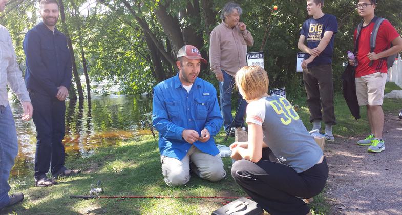
Annual "Celebrate the Chippewa River" event in Eau Claire includes demonstrations on the river's ecosystem including how to catch its inhabitants.
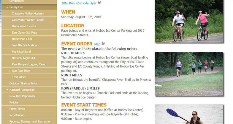
Run Row Ride - popular non-competitive annual triathlon that celebrates the beauty of the Chippewa River. Entire event occurs along or in their celebrated natural resource.

Photo of CRWT committee meeting; meetings were held bi-monthly for two years.
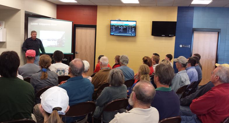
"Celebrate the Chippewa River" annual conference presenting research and other information on the river.
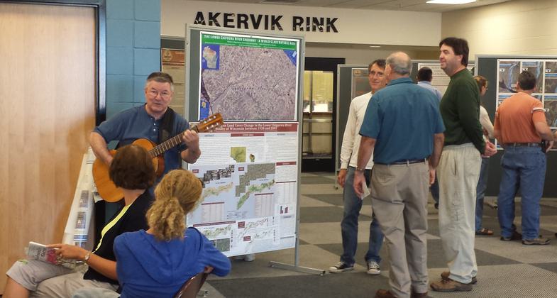
"Celebrate the Chippewa River" Annual Conference poster session
Location: The Chippewa River is the mainstream of the upper Chippewa River Basin that is geographically located in Northwestern Wisconsin. The Chippewa River Water Trail is a 4.2 segment of the Chippewa River roughly 90 miles east of the Mississippi River at the Mi
- States: Wisconsin
- Counties: Eau Claire
- Cities/Townships: City of Eau Claire
The Chippewa River Water Trail is a 4.2-mile segment of the Upper Chippewa River watershed. The Chippewa River flows 183 miles south toward the Mississippi River through the regional Northwestern portion of Wisconsin. The Chippewa River Water Trail will specifically guide paddlers along a 4.2 mile of the Chippewa River to connect with the ecological, geological, historical, and cultural importance of the river in Wisconsin.
The Chippewa River Water Trail meanders through three ecosystems known in Wisconsin. The Northern Boreal Forest is apparent at the northernmost point of the trail, especially at Mount Simon Park at Dells Pond (RM: 60.3) Portions of the trail feature a deciduous wood ecosystem, specifically at Owen Park (RM:57.5) A prairie/ savannah ecosystem is apparent along the southern route of the water trail at Hobbes Boat Landing (RM: 56.1). Overall, the variety of ecosystems along the Chippewa River speaks to its unique natural beauty.
The Chippewa River is home to Federally Endangered Crystal Darter, Goldeyes, Redhorse, Paddlefish, and Sheepnose mussels. The river provides habitat to six types of mussels: Buckhorn, Bullhead, Butterfly, Elktoe, Fawnsfoot, and Purple Wartyback. Also, the Chippewa River has many tributaries that feed trout streams. Paddling on the Chippewa River Water Trail, one can view sandstone cliffs and natural cave formations.
The Chippewa River has played a key role in the heritage and cultural development of Eau Claire and Wisconsin. The Chippewa River made it possible for the lumber and logging boom in Eau Claire and Wisconsin in the 1830s. Lumber was cut in the upper Chippewa River Basin and was floated to mills in Eau Claire. The logging boom directly impacted the economy and culture of Eau Claire and Wisconsin. After the height and fall of the logging era, the Chippewa River became a source of energy production, and numerous dams were built. In the last 30 years, the city of Eau Claire took steps to invest in restoring the Chippewa River. The community is dedicated to protecting the water quality and adjacent pedestrian trails and parks to increase outdoor recreation and tourism in Eau Claire.
Accessibility Information
No text provided.
Allowed Uses:
Boating, human-powered SwimmingOther Activities
- Fishing
- Heritage and history
- Wildlife viewing / observation
Public Contact
Todd ChwalaCity of Eau Claire
910 Forest St.
Eau Claire, WI 54703
[email protected] • 715.839.5039
More Details
- Elevation (low): --
- Elevation (high): --
- Elevation (cumulative): --
- Part of a Trail System? No
- Surface (primary): --
- Surfaces (additional): Rock, boulders, Rock, smooth, Snow or ice
- Tread Width (average): 0"
- Tread Width (minimum): 0
- Running length (minimum): --
- Tread Grade (average, percent): --
- Tread Grade (maximum):
- Running length (maximum): --
- Cross-slope (average, percent): 0
- Cross-slope (maximum): --
- Running length (maximum): --
- Certified as an NRT
Oct 25, 2020


