Coastal Trail
check with the trail manager for updated details before visiting.
Coastal Trail
National Park Service
Backcountry Trail
- Length
27 miles
- Elevation Gain
--
- Route Type
out & back
- Length
27 miles - Elevation Gain
-- - Route Type
out & back
Although the parks are best known for redwoods, the Coastal Trail offers the adventurous hiker a different experience. Delicate tidepool creatures, sandy beaches, and the jagged Pacific coastline await your exploration.

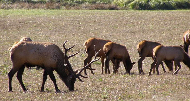
Bull elk grazing on meadow. Photo by National Park Service.
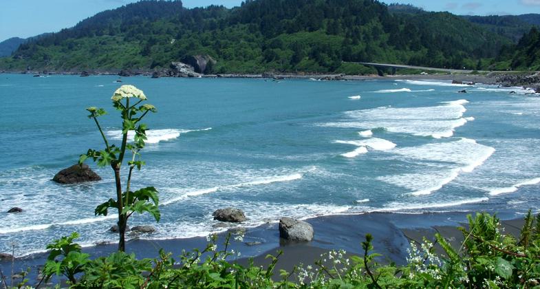
Cow parsnip, False Klamath Cove, and U.S. 101 as seen from Yurok Loop Trail. Photo by National Park Service.
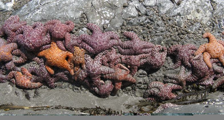
Orange and purple sea stars on rock in tidepool. Photo by National Park Service.

Coast redwoods (Sequoia sempervirens) in fog. Photo by National Park Service.

Beach evening primrose. Photo by National Park Service.
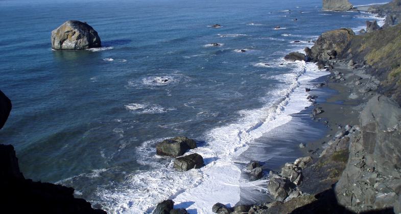
Redwood National Park rocky coast and seastacks as seen from High Bluff Overlook looking north. Photo by National Park Service.

Gold Bluffs as seen from Gold Bluffs Beach. Photo by National Park Service.
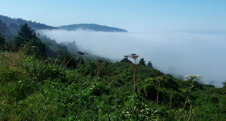
Hidden Beach covered by fog. Photo by National Park Service.
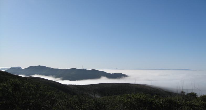
Coastal Trail from Tennessee Valley to Muir Beach as the NorCal fog rolls in. Photo by Nikki Montembeault.
Location: At N end of Redwoods NP, W of US 101 just N of mouth of Klamath River
- States: California
- Counties: Humboldt
Walking along a coastal bluff, gulls and sea lions cry amidst the sound of crashing breakers. A gray whale spouts occasionally in the vast blue waters below and the wind whistles through the alders. Trails lead down to secluded beaches where the driftwood piles and ancient rocks hide crabs and sea stars.
Although the parks are best known for redwoods, 70 miles (142 km) of Coastal Trail offers the adventurous hiker a different experience. Delicate tidepool creatures, sandy beaches, and the jagged Pacific coastline await your exploration.
Day hikes and longer backpack trips may be done on the Coastal Trail. Permits are required at all backcountry camps and are available at the park visitor centers.
The Coastal Trail is nearly continuous in the parks; the one major detour is the Highway 101 bridge over the Klamath River. Several access points and five backcountry camps are within an easy day's walk of each other.
Accessibility Information
No text provided.
Allowed Uses:
Hiking/WalkingPublic Contact
Roy RitchieRedwood National Park
P.O. Box 7
Orick, CA 95555
(707) 822-7614 ext. 52
www.nps.gov/redw/index.htm
Contact the trail manager for current maps and visiting details.
More Details
- Elevation (low): --
- Elevation (high): --
- Elevation (cumulative): --
- Part of a Trail System? No
- Surface (primary): Wood chips/mulch
- Surfaces (additional): Wood chips/mulch
- Tread Width (average): 48"
- Tread Width (minimum): --
- Running length (minimum): --
- Tread Grade (average, percent): --
- Tread Grade (maximum):
- Running length (maximum): --
- Cross-slope (average, percent): --
- Cross-slope (maximum): --
- Running length (maximum): --
- Certified as an NRT
Mar 19, 1981

