Coronado Peak
check with the trail manager for updated details before visiting.
Coronado Peak
National Park Service
Backcountry Trail
- Length
0.4 miles
- Elevation Gain
--
- Route Type
out & back
- Length
0.4 miles - Elevation Gain
-- - Route Type
out & back
Elevation 6575-6864. Quotations from the journals of Coronado's captains are posted at scenic overlooks along the trail provide a glimpse into the Conquistadors minds.
Location: At west entrance to the Coronado Nat. Monument at Montezuma Pass Overlook.
- States: Arizona
- Counties: Cochise
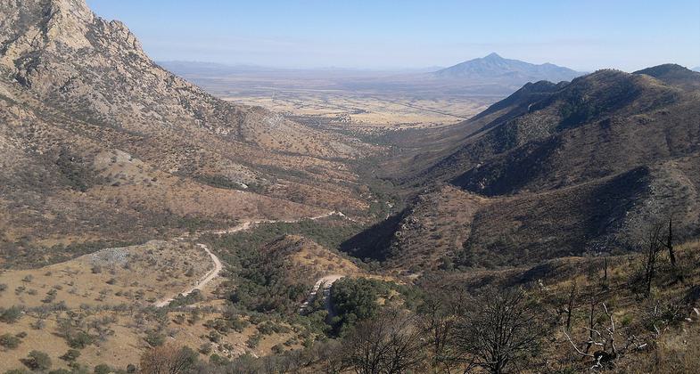
The Coronado Peak Trail is 0.4 miles one way. The trail begins at Montezuma Pass. Interpretative signs, posted at scenic overlooks along the trail, provide a glimpse into the history and culture of the 1540s expedition of Francisco Vasquez de Coronado. From Coronado Peak, trace the path of the conquistadors while enjoying the beauty of the San Pedro and San Rafael Valleys and the panoramic views of the desert grasslands.
Accessibility Information
No text provided.
Allowed Uses:
Hiking/WalkingOther Activities
- Caving
- Wildlife viewing / observation
Public Contact
Coronado Visitors Center, (520) 366-5515
Contact the trail manager for current maps and visiting details.
More Details
- Elevation (low): 6575
- Elevation (high): 6864
- Elevation (cumulative): --
- Part of a Trail System? No
- Surface (primary): --
- Surfaces (additional): --
- Tread Width (average): 36"
- Tread Width (minimum): --
- Running length (minimum): --
- Tread Grade (average, percent): --
- Tread Grade (maximum):
- Running length (maximum): --
- Cross-slope (average, percent): --
- Cross-slope (maximum): --
- Running length (maximum): --
- Certified as an NRT
Nov 18, 1981


