Des Moines River Water Trail - South Section
check with the trail manager for updated details before visiting.
Des Moines River Water Trail - South Section
City, Town, or County
Water Trail (other)
- Length
10.25 miles
- Elevation Gain
--
- Route Type
out & back
- Length
10.25 miles - Elevation Gain
-- - Route Type
out & back
This 10.25 mile section of the entire 19 miles of the Des Moines River Water Trail is a scenic, historical and natural experience with a stretch between the Harriet Street Access and Yellow Banks County Park located in central Iowa's Polk County.
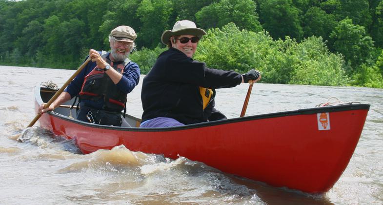
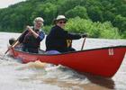
Paddlers. Photo by Kelli Phillips.
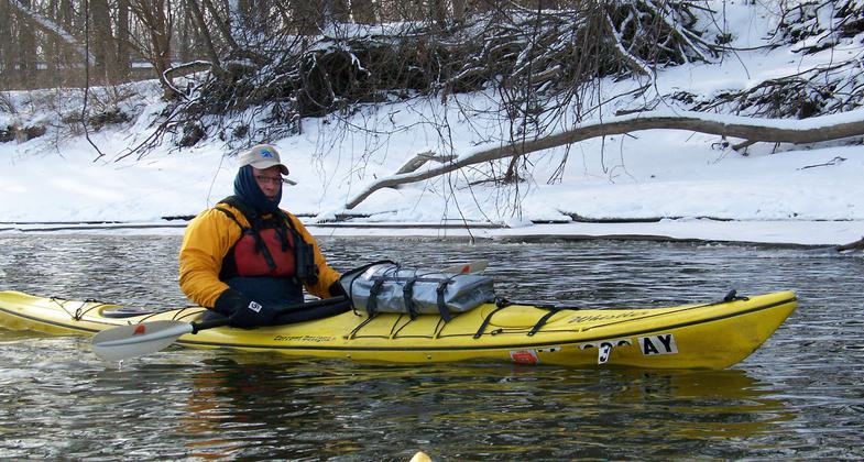
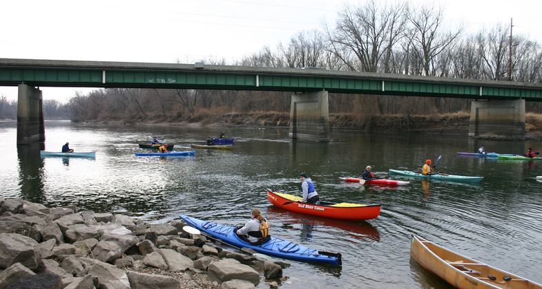
Winter paddle. Photo by Kelli Phillips.
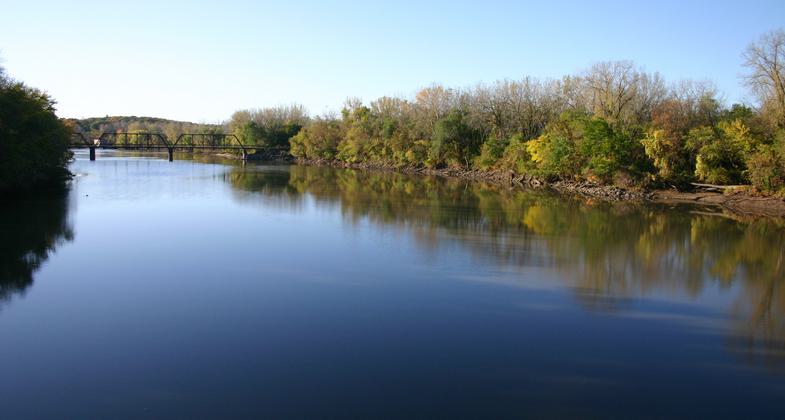
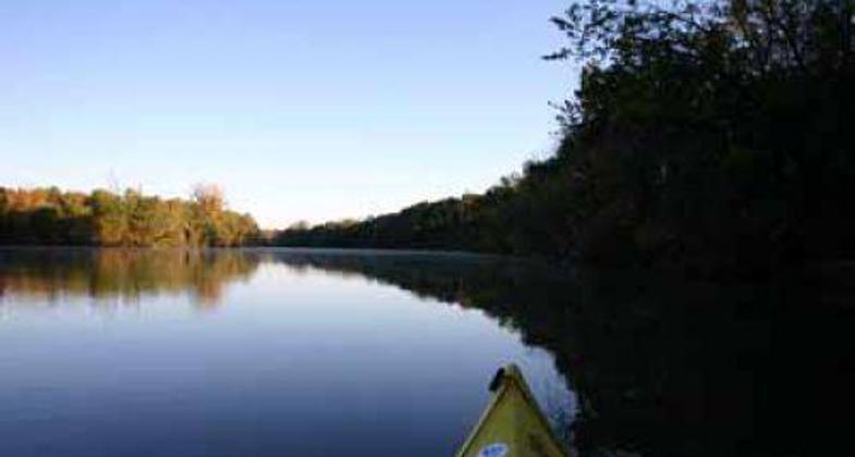
Photo by Kelli Phillips.
New Year's Day paddle. Photo by Kelli Phillips.
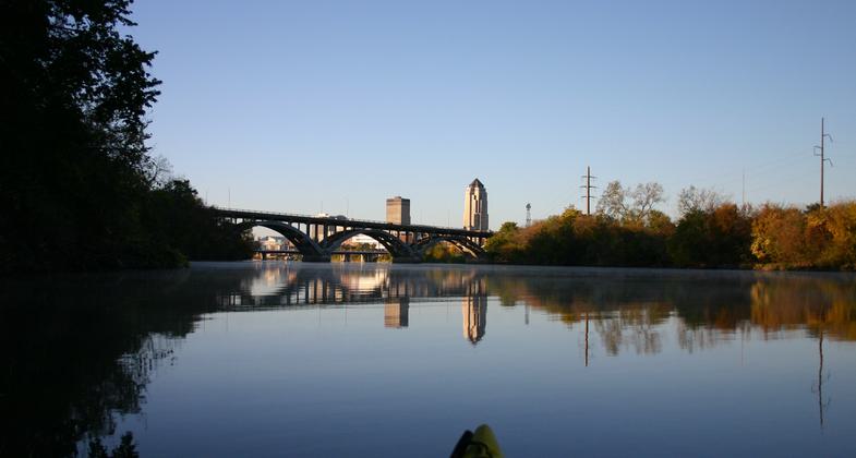
Des Moines Bridge. Photo by Kelli Phillips.
Location: Water trail on the Des Moines River in central Iowa connecting Harriet Street Access in Des Moines and Yellow Banks County, Follows Des Moines River downstream from H St. to Yellow South Section (Harriet Street to Banks County Park. Yellow Banks) IA
- States: Iowa
- Counties: Polk
This 10.25-mile section of the entire 19 miles of the Des Moines River Water Trail is a scenic, historical, and natural experience with a stretch between the Harriet Street Access and Yellow Banks County Park located in central Iowa's Polk County.
The entire stretch of the Des Moines River, which encompasses a length of 525 miles from Lake Shetek in Minnesota to the Mississippi River in southeast Iowa is an extremely scenic stream. The 20-mile, state-designated Des Moines River Water Trail section in Polk County, Iowa provides a unique opportunity to connect a diverse group of trail users, including both rural and urban populations.
The northern-most access point can be found just below the Saylorville Dam, north of Des Moines in the Cottonwood Recreation area, with the southern-most access point being at Yellow Banks County Park, which boasts new paddle-in campsites enabling a multi-day paddling experience with excellent camping amenities.
The trail spawned from partnerships among government agencies in addition to numerous clubs and organizations realizing an existing need for a growing population of water users. Beautifully constructed informational kiosks stand at each access point providing information, maps, and safety messages pertinent to trail segments.
This unique trail provides a critical healthy community promotion feature, it also connects with multiple other trails. The intertwining of many trail types can provide a unique opportunity and enable visitors to create their own special experiences. Connections to the Neal Smith Multi-Use Trail, which was designated an NRT in the 1990s, can be accessed at two places along the trail. A mountain biking trail as well as the Trestle-To-Trestle paved biking trail can also be accessed easily from the water trail.
Accessibility Information
No text provided.
Allowed Uses:
SwimmingOther Activities
- Fishing
- Wildlife viewing / observation
Public Contact
Polk County Conservation11407 NW Jester Park Drive
Granger, IA 50109
(515) 323-5300
www.leadingyououtdoors.org
More Details
- Elevation (low): --
- Elevation (high): --
- Elevation (cumulative): --
- Part of a Trail System? No
- Surface (primary): Water, slow moving
- Surfaces (additional): --
- Tread Width (average): --"
- Tread Width (minimum): --
- Running length (minimum): --
- Tread Grade (average, percent): --
- Tread Grade (maximum):
- Running length (maximum): --
- Cross-slope (average, percent): --
- Cross-slope (maximum): --
- Running length (maximum): --
- Certified as an NRT
May 2, 2010