Discovery Trail
check with the trail manager for updated details before visiting.
Discovery Trail
USDA Forest Service
Backcountry Trail
- Length
1 mile
- Elevation Gain
--
- Route Type
Loop
- Length
1 mile - Elevation Gain
-- - Route Type
Loop
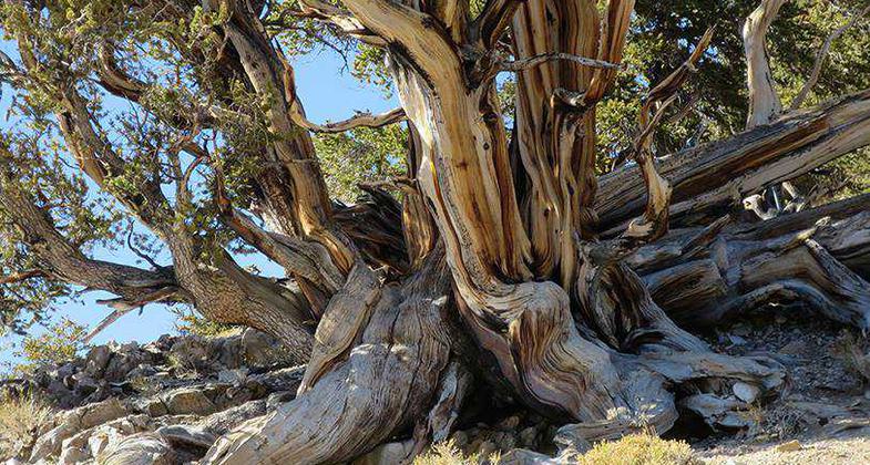
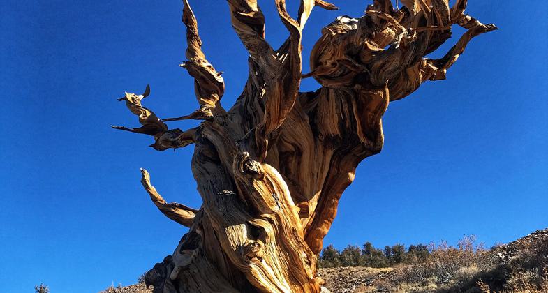
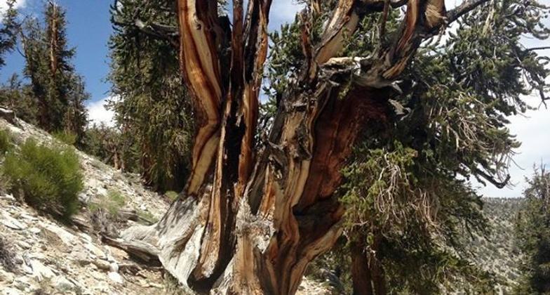
A short trail that winds it ways through an ancient grove of Bristlecone Pine's.

Ancient Bristlecone Pine. Photo by USFS.

Photo by Pam Riches.

The trees. Photo by Pam Riches.

Trailhead. Photo by Pam Riches.

Ancient Bristlecone Pine Forest Visitor Center in the winter. Photo by USFS.

Ancient Bristlecone Pine. Photo by USFS.
Location: North of Big Pine, Inyo National Forest, Big Pine, California
- States: California
- Counties: Inyo
- Cities/Townships: Tallahassee
The Ancient Bristlecone Pine Forest Visitor Center is at Schulman Grove with a picnic area and three self-guided trails to explore. The trails begin and end at the visitor center parking area and have interpretive signs and rest benches.
Dr. Schulman first found the grove to be over 4000 years old. Interpretive panels along the trail tell the story of Dr. Schulman's discovery while rest benches provide a place to sit and contemplate the spectacular scenery. The short length of this trail makes it a perfect introductory hike for families or those not wanting to take the longer 4-mile Methuselah Trail.
Discovery Trail: One-mile loop. Features Ancient Bristlecone Pines, interpretive signs, and rest benches along the trail.
Methuselah Trail: A 4.5-mile loop with 900 feet of elevation gain makes this the longest trail. Numbered posts and a brochure guide you along the trail. Several rest benches have scenic views. The Methuselah Tree is along this trail, but there is not a sign that points it out. This trail can be combined with the Bristlecone Cabin Trail.
Bristlecone Cabin Trail: 3.5-mile loop. Offers views of the old miner's cabins and mine entrances of the Mexican Mine, and passes many Ancient Bristlecone Pine Trees and Foxtail Pines. Return to the Methuselah Trail for the full 3.5-mile loop.
Accessibility Information
No text provided.
Allowed Uses:
Hiking/WalkingPublic Contact
USDA Forest Service, Inyo National Forest351 Pacu Lane
Bishop, CA 93514
(760)873-2400
www.fs.usda.gov/main/inyo/home
Contact the trail manager for current maps and visiting details.
More Details
- Elevation (low): 9846
- Elevation (high): 10328
- Elevation (cumulative): --
- Part of a Trail System? No
- Surface (primary): Soil
- Surfaces (additional): Rock, smooth
- Tread Width (average): 48"
- Tread Width (minimum): 32
- Running length (minimum): --
- Tread Grade (average, percent): 5
- Tread Grade (maximum): 5
- Running length (maximum): --
- Cross-slope (average, percent): 2
- Cross-slope (maximum): --
- Running length (maximum): --
- Certified as an NRT
Oct 24, 1979


