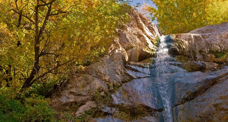
Dripping Springs
check with the trail manager for updated details before visiting.
Dripping Springs
Bureau of Land Management
Backcountry Trail
- Length
4.5 miles
- Elevation Gain
--
- Route Type
out & back
- Length
4.5 miles - Elevation Gain
-- - Route Type
out & back
Hiking trails in southern New Mexico along the Organ Mountains, managed by the Bureau of Land Management.
Location: 10 mi. E of Las Cruces on University Ave. at the A.B. Cox visito center.
- States: New Mexico
- Counties: Doña Ana
Hiking trails in southern New Mexico along the Organ Mountains, managed by the Bureau of Land Management.
The Dripping Springs Trail System consists of four short trails, all linked together. The Dripping Springs Trail takes you to the historic Van Patten Mountain Camp and the Dripping Springs. La Cueva Trail links the Visitor Center to La Cueva Picnic Area and provides access from the picnic area to the Fillmore Canyon and Crawford Trails.
The entire trail system is nearly five miles and offers spectacular views of the western side of the Organ Mountains and the Mesilla Valley.
Accessibility Information
No text provided.
Allowed Uses:
Hiking/WalkingPublic Contact
Bureau of Land Management Las Cruces District1800 Marquess St.
Las Cruces, NM 88005
(575) 525-4300
Contact the trail manager for current maps and visiting details.
More Details
- Elevation (low): --
- Elevation (high): --
- Elevation (cumulative): --
- Part of a Trail System? No
- Surface (primary): --
- Surfaces (additional): --
- Tread Width (average): 0"
- Tread Width (minimum): --
- Running length (minimum): --
- Tread Grade (average, percent): --
- Tread Grade (maximum):
- Running length (maximum): --
- Cross-slope (average, percent): --
- Cross-slope (maximum): --
- Running length (maximum): --
- Certified as an NRT
Sep 19, 1992


