East Bay Skyline Trail
check with the trail manager for updated details before visiting.
East Bay Skyline Trail
City, Town, or County
Urban Trail
- Length
31.52 miles
- Elevation Gain
--
- Route Type
out & back
(2 reviews)
- Length
31.52 miles - Elevation Gain
-- - Route Type
out & back
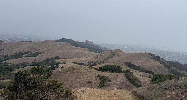
The Skyline National Trail offers panoramic views of the San Francisco Bay Area along the East Bay hills and provides access to preserved and protected wilderness while in close proximity to many city streets.

San Francisco seen from the East Bay Skyline National Recreation Trail in Tilden Regional Park. Photo by John Rabold.

Photo taken by Trish Ellis

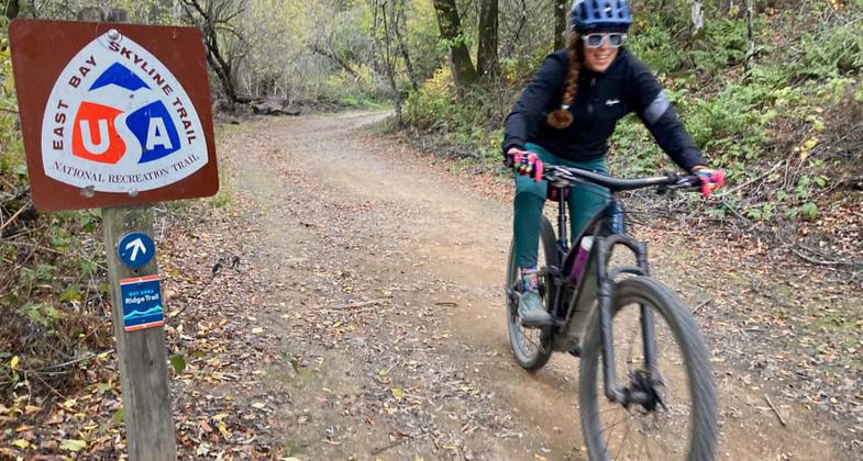
Winner 2022 NRT Photo Contest, Bicycling. Photo by Austin McInerny.

A labyrinth along the East Bay Skyline National Recreation Trail in Tilden Regional Park. Photo by John Rabold.

Hiking the East Bay Skyline National Recreation Trail near Tilden Regional Park. Photo by John Rabold.

Hiking the East Bay Skyline National Recreation Trail in Wildcat Canyon Regional Park. Photo by John Rabold.

Alcatraz and Angel Islands and the Golden Gate Bridge from the East Bay Skyline NRT in Wildcat Canyon Regional Park. Photo by John Rabold.

On horseback on the East Bay Skyline National Recreation Trail in Anthony Chabot Regional Park. Photo by John Rabold.

Hiking the East Bay Skyline National Recreation Trail in Huckleberry Botanic Regional Preserve. Photo by John Rabold.
Location:
- States: California
- Counties: Alameda
The Skyline National Trail offers panoramic views of the San Francisco Bay Area along the East Bay hills and provides access to preserved and protected wilderness while in close proximity to many city streets. The trail begins at the entrance to Wildcat Canyon Regional Park in Richmond and leads through Tilden Regional Park, Sibley Volcanic Regional Preserve, Huckleberry Botanic Regional Preserve, Redwood Regional Park, and Anthony Chabot Regional Park. The trail ends at the Proctor Gate staging area on Redwood Road just north of Castro Valley.
Accessibility Information
No text provided.
Reviews
Patricia Ellis
Fantastic trail in the wild yet so close to the city
Nov 12, 18, and 20. Broke this 31-mile NRT into three ten-ish mile sections. It mostly coincides with the Juan Bautista de Anza National Historic Trail (Spanish colonist route of late 1700s), and it intersects with the American Discovery Trail. This lovely path goes up, down, and along the ridge of the hills to the east and northeast of Oakland and Berkeley, CA. Total elevation gain is about 6000 feet. The southern/eastern two thirds is mostly in the trees with some lookouts here and there while the northwest third is mostly exposed with 360 degree views. This is a great trail and various entry points are easily accessible with a combo of bus, BART, and car/Uber. Trish Ellis (aka Janie Walker)
Stewart Jollymore
Richmond to Walnut Creek
I backpacked this a few years ago starting in Richmond from Wild Cat. Camped a night at Sibley and then em walked out to Walnut Creek BART station. I grew up on these trails but have hiked and trail run all over the world and this is As good as urban backpacking gets. Great views long periods of isolation if done weekday. Looking forward to coming home and running this as a 50k I think it easily could be done in under 7 hours. Backpacking about 2.5x that. It's a must!
Allowed Uses:
Bicycling Equestrian Hiking/WalkingOther Activities
- Camping
- Wildlife viewing / observation
Public Contact
Sean DouganEast Bay Regional Park District
P.O. Box 5381
Oakland, CA 94605
(888) 327-2757
www.ebparks.org
Contact the trail manager for current maps and visiting details.
More Details
- Elevation (low): --
- Elevation (high): --
- Elevation (cumulative): --
- Part of a Trail System? No
- Surface (primary): Soil
- Surfaces (additional): Paved, Rock, crushed, Soil
- Tread Width (average): 120"
- Tread Width (minimum): --
- Running length (minimum): --
- Tread Grade (average, percent): --
- Tread Grade (maximum):
- Running length (maximum): --
- Cross-slope (average, percent): --
- Cross-slope (maximum): --
- Running length (maximum): --
- Certified as an NRT
May 6, 1970


