East Boyd-Glover Roundtop Trail
check with the trail manager for updated details before visiting.
East Boyd-Glover Roundtop Trail
USDA Forest Service
Backcountry Trail
- Length
23 miles
- Elevation Gain
--
- Route Type
out & back
- Length
23 miles - Elevation Gain
-- - Route Type
out & back
Location: Nez Perce-Clearwater National Forests, On Selway R., S of US 12. Joins Boyd Creek and Glover Creek Campgrounds.
- States: Idaho
- Counties: Idaho
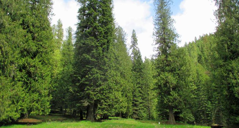
This trail consists of the East Boyd Trail #703 and Glover Trail #704, connected by roads at the top and the bottom. It is possible to make this a loop trail by either going up East Boyd Trail (trailhead facilities reconstructed in 2000, with accessible stock unloading ramp) then traveling approximately one mile on the primitive Coolwater Road #317, then down Glover Trail, then down the Selway River Road approximately 3.5 miles to the Boyd Creek Trailhead, or by traveling in the opposite direction. The trail passes over Round Top Mountain (elevation 6807') which provides views of the Selway Crags and the Bitterroot Mountain Range on the Idaho/Montana border. Feed for the stock is limited along the entire length of this trail.
Accessibility Information
No text provided.
Allowed Uses:
Bicycling Equestrian Hiking/Walking Motorized vehicles, motorcyclingOther Activities
- Camping
Public Contact
Kearstin EdwardsNez Perce-Clearwater National Forests
831 Selway Road
Kooskia, ID 83539
[email protected] • (208) 983-1950
Contact the trail manager for current maps and visiting details.
More Details
- Elevation (low): 1643
- Elevation (high): 6807
- Elevation (cumulative): --
- Part of a Trail System? No
- Surface (primary): Soil
- Surfaces (additional): Soil
- Tread Width (average): 24"
- Tread Width (minimum): --
- Running length (minimum): --
- Tread Grade (average, percent): 15
- Tread Grade (maximum): 28
- Running length (maximum): --
- Cross-slope (average, percent): --
- Cross-slope (maximum): --
- Running length (maximum): --
- Certified as an NRT
Oct 4, 1979


