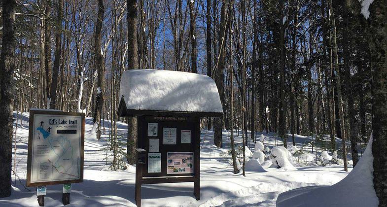
Ed's Lake NRT
This information is a public record of the 1981 NRT application and may be out of date if it has not been updated by a trail manager --
check with the trail manager for updated details before visiting.
check with the trail manager for updated details before visiting.
Ed's Lake NRT
USDA Forest Service
- Length
6 miles
- Elevation Gain
--
- Route Type
out & back
- Length
6 miles - Elevation Gain
-- - Route Type
out & back
Location: In Nicolet NF 11 mi SW of Crandon on Co. Hwy W.
- States: Wisconsin
- Counties: Forest
A favorite trail for cross-country skiers, this trail also provides excellent opportunities for hikers and mountain bike enthusiasts. The trail follows several early 1900s railroad grades through a variety of forest types. Tracked and groomed for traditional skiing, the three loops provide excellent skiing for beginner to intermediate skiers. An Adirondack-style shelter overlooking Ed's Lake is located along the Birch Loop.
Accessibility Information
No text provided.
Allowed Uses:
Hiking/WalkingPublic Contact
Darrell RichardsChequamegon-Nicolet National Forest
4978 Hwy. 8 & 32 W.
Lacona, WI 54541
[email protected] • (715) 674-4481
www.fs.fed.us/r9/cnnf
Contact the trail manager for current maps and visiting details.
More Details
- Elevation (low): 1630
- Elevation (high): 1700
- Elevation (cumulative): --
- Part of a Trail System? No
- Surface (primary): Soil
- Surfaces (additional): --
- Tread Width (average): 100"
- Tread Width (minimum): --
- Running length (minimum): --
- Tread Grade (average, percent): 5
- Tread Grade (maximum): 30
- Running length (maximum): --
- Cross-slope (average, percent): --
- Cross-slope (maximum): --
- Running length (maximum): --
- Certified as an NRT
Jul 19, 1981


