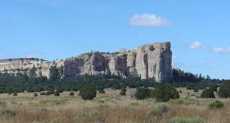
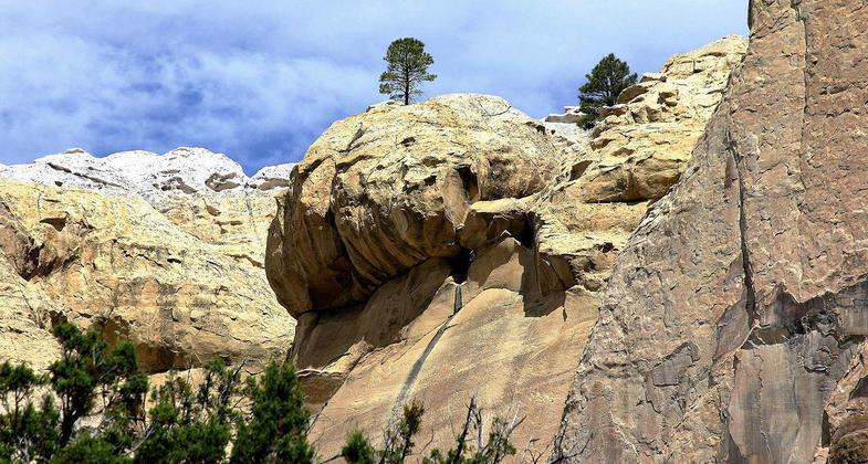
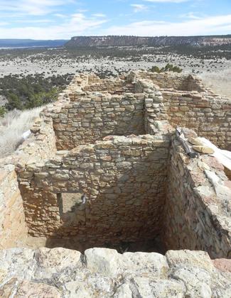
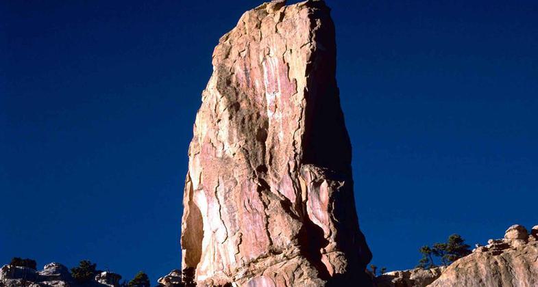
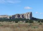
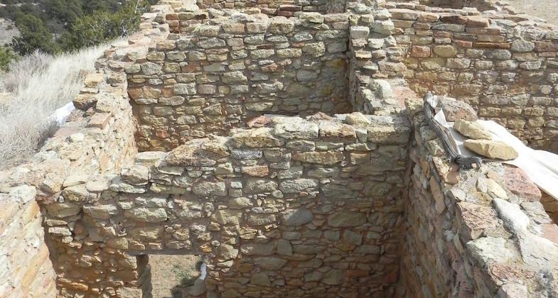
El Morro
This information is a public record of the 1983 NRT application and may be out of date if it has not been updated by a trail manager --
check with the trail manager for updated details before visiting.
check with the trail manager for updated details before visiting.
El Morro
National Park Service
Backcountry Trail
- Length
2 miles - Elevation Gain
-- - Route Type
out & back
Location: 43 miles W of Grants along SR 53 at El Morro National Mon.
- States: New Mexico
Inscription Loop is relatively flat and easy. A cement trail suitable for wheelchairs. Mesa Top portion - medium difficulty with elevation gain of 2000 ft on 15% incline. Some portions of trail are on boulders which are only faintly marked.
Accessibility Information
No text provided.
Allowed Uses:
Hiking/WalkingPublic Contact
Peri EringenEl Morro National Monument
Route 2
Ramah, NM 87321
(505) 783-4226
Contact the trail manager for current maps and visiting details.
More Details
- Elevation (low): --
- Elevation (high): --
- Elevation (cumulative): --
- Part of a Trail System? No
- Surface (primary): --
- Surfaces (additional): --
- Tread Width (average): 40"
- Tread Width (minimum): --
- Running length (minimum): --
- Tread Grade (average, percent): --
- Tread Grade (maximum):
- Running length (maximum): --
- Cross-slope (average, percent): --
- Cross-slope (maximum): --
- Running length (maximum): --
- Certified as an NRT
Apr 12, 1983

