Farmdale Trail System
check with the trail manager for updated details before visiting.
Farmdale Trail System
U.S. Corps of Engineers
Backcountry Trail
Rail Trail
- Length
16.3 miles
- Elevation Gain
--
- Route Type
Loop
(1 review)
- Length
16.3 miles - Elevation Gain
-- - Route Type
Loop
The Farmdale Trail system includes everything from wide, hardened dirt roadways to twisting single track mountain bike trails. While many people picture Illinois as flat corn and bean fields, the Farmdale System allows users to experience the hills, valleys, creeks and standing timber of a time before agriculture transformed the area.

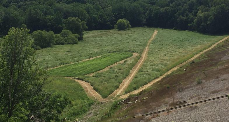
Farmdale Reservoir. Photo by Kevin Ewbank

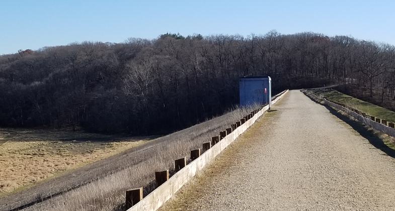
The view heading East across the dam.

Looking West at the Concrete Ford on Cinder Road

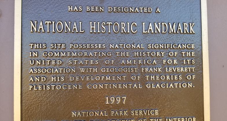
Marker for Farmdale National Historic Landmark

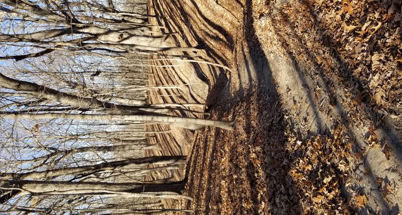
Typical Trail

Trail Marker
Location: Farmdale Reservoir near East Peoria, IL
- States: Illinois
- Counties: Tazewell
- Cities/Townships: Washington Township
The entire Farmdale Trail System is on property managed by the US Army Corps of Engineers. Farmdale Reservoir is part of a project to protect the City of East Peoria, IL from a repeat of the devastating 1927 floods.
The main structure at Farmdale is a large earthen dam eighty feet tall and 1275 feet long. Upstream from the dam, the Farmdale Reservoir Area is approximately 836 acres in size. The Farmdale Reservoir is a dry flood retention reservoir that will hold heavy rains and help prevent damage to East Peoria. During normal weather conditions, the entire Farm Creek flows through a large culvert through the dam. However, during heavy rain events water may back up above the dam and create a lake.
The Farmdale Reservoir area ranges from the lower slopes at the west side of the Farm Creek Valley, across the valley, and up the steep, rugged bluffs on the east side to and including the flat fields atop the bluff. Elevations range from approximately 580 feet NGVP at the creek to 705 feet NGVP on the upper fields. Farm Creek, a perennial stream, runs through the project. Three perennial streams enter the creek from the east side.
The forested uplands are predominately oak-hickory type with the lower slopes and terraces exhibiting mostly maple-basswood. The forest has been greatly disturbed with the present cover being entirely second-growth. Most open areas at Farmdale were leased agricultural fields until 1994. These areas are now tall grass prairies.
Crossing the entire reservoir area is Cinder Road. This was the route of a railroad before project construction. Although the tracks are gone, several bridge piers are still found along the former rail line. On a trip through this area in 1879, Geologist Frank Leverett noticed a hillside that clearly showed geological strata. He described and pictured it in his monograph, The Illinois Glacial Lobe, in 1899. The Farm Creek Section, now within the boundaries of Farmdale Reservoir, is a National Historic Landmark.
Connecting to Cinder Road, the backbone of the Farmdale Trail System is a network of dirt roads used for firebreaks, project inspection, and maintenance. Using the road network users access multiple use trails. Trail sections include the downhill Knock-Knock with a 90' drop in 0.2 miles, Whistler, Eagle Ridge, Borneo, Mike n Don's, and Trackstand. Deep in the woods, along the edge of the uplands, mountain bikers can find hidden teeter-totters and other skill challenges on Srolls. One user describes Back Trail as "A fun, technical climb from the fire road to Blue Chevy Trail!" Since Blue Chevy was mentioned, are you one of the trail users who can tell why it was named?
Located Northeast of the Main Parking area is a mountain bike skills area, featuring jumps, sharp curves, and downhill areas to improve rider skills.
The Farmdale Reservoir area is the site of trail running, mountain biking, orienteering, and other competitions regularly.
The area is open daily, except closed during and for 24 hours after any rainfall. Also closed any time there is standing water behind the dam.
Accessibility Information
No text provided.
Reviews
Beryl Anderson
Not clearly marked. No loop.
There's no discernible loop for hiking. Signage is inadequate for hikers"” although the map at the trailhead was marked with various trails such as multi-use, biking, and horse, this was not continued on any trails. Walked aimlessly for a half hour and then left.
Allowed Uses:
Bicycling Dogs, off leash Equestrian Hiking/Walking Snow, snowshoeingOther Activities
- Snow, snow play general
- Wildlife viewing / observation
Public Contact
Kevin EwbankUS Army Corps of Engineers
Visitor Center
Ottawa, IL 61350
[email protected] • 815-228-9318
Contact the trail manager for current maps and visiting details.
More Details
- Elevation (low): 567
- Elevation (high): 709
- Elevation (cumulative): --
- Part of a Trail System? No
- National Designations: National Historic Landmark
- Surface (primary): Soil
- Surfaces (additional): Paved, Boardwalk, Grass or Vegetation, Rock, boulders, Rock, smooth, Soil, Water, slow moving
- Tread Width (average): 0"
- Tread Width (minimum): 0
- Running length (minimum): --
- Tread Grade (average, percent): 2
- Tread Grade (maximum): 15
- Running length (maximum): --
- Cross-slope (average, percent): 0
- Cross-slope (maximum): --
- Running length (maximum): --
- Certified as an NRT
Jun 3, 2021

