Feeder Canal Towpath Trail
check with the trail manager for updated details before visiting.
Feeder Canal Towpath Trail
Nonprofit
Frontcountry Trail
- Length
9 miles
- Elevation Gain
--
- Route Type
out & back
(2 reviews)
- Length
9 miles - Elevation Gain
-- - Route Type
out & back
A nine-mile Trail between Glens Falls and Fort Edward along the historic Feeder Canal near the Hudson River and Old Champlain Canal.

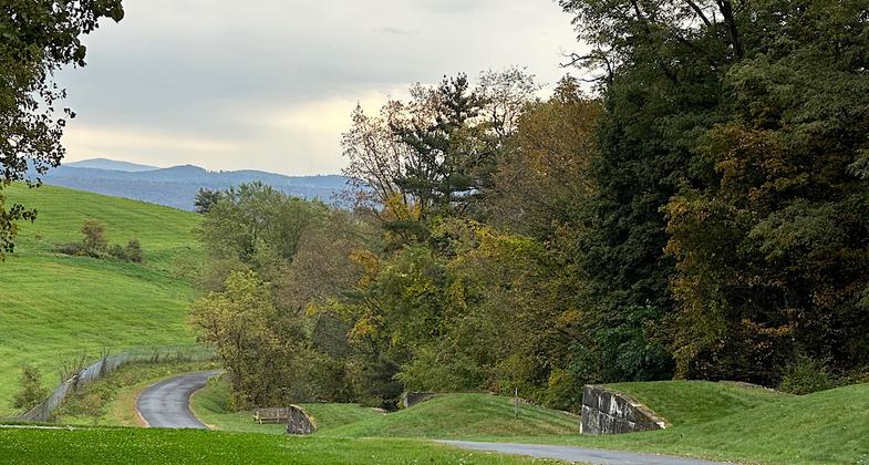
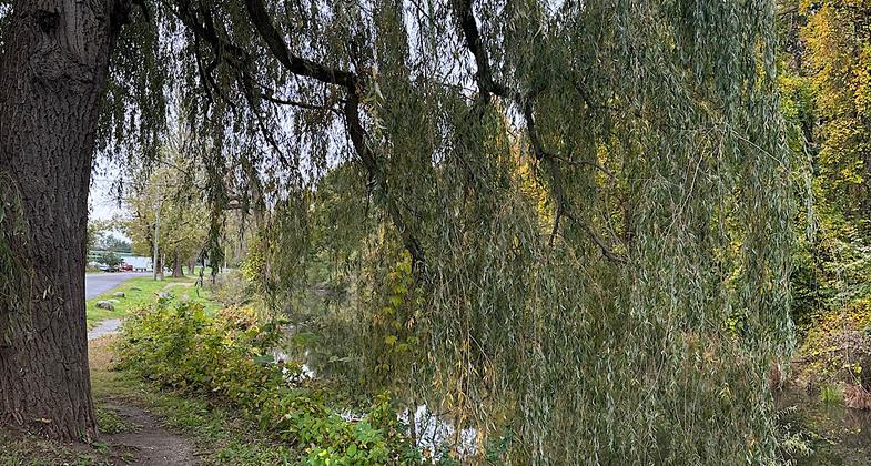
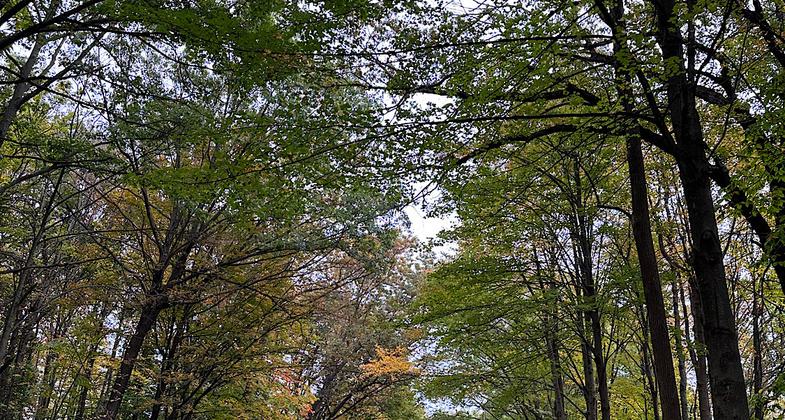
Feeder Canal Towpath Trail - 10-10-2018. Photo by Jim Walla.


Feeder Canal Towpath Trail - 10-10-2018. Photo by Jim Walla.

A snowy day on the towpath. Photo by Agnes Kearon.

"The Flight" (today called "The Combine") is a series of five locks on the old Glens Falls Feeder Canal. Photo by Planmeister.
Location: Running along the Glens Falls Feeder Canal from the Town of Queensbury (and Glens Falls) to the Town of Kingsbury (and Hudson Falls), New York. Follows Canal from east side of Glens Falls to Ft. Edward.
- States: New York
- Counties: Warren, Washington
A nine-mile Trail between Glens Falls and Fort Edward along the historic Feeder Canal near the Hudson River and Old Champlain Canal. The Trail follows the towpath along the Feeder Canal, which is one of the last surviving sections of the original 1820s Canal System. The Feeder Canal was built in the late 1820s to help maintain the water level in the Champlain Canal since the section between Fort Ann and Fort Edward was higher than the rest of the Canal. A link between the Feeder Canal Trail and the Warren County/Bikeway leading to Lake George is signed along connecting roadways in Glens Falls.
Accessibility Information
No text provided.
Reviews
Janie Walker
Gorgeous walk along the feeder canal
Hiked October 11, 2023. The start of the trail is by a scenic dam. Right off the bat, beauty abounds. I loved this trail. So many pretty sections along the water and trees! The trail also currently goes into the town of Glen Falls on a detour - there is now a map posted along the way so you know where to walk through the town - and I was able to pause for a bit and enjoy a cider donut from a convenience store. At the end of the nine-ish miles I was able to get an Uber back to my car, so no need to double back for an eighteen-mile day.
Andy Griffith
Trail Break Because of Paper Mill
Shame about the paper mill. It would be nice if there was signage suggesting where and how far ahead the trail picks up again. There is a map at the start of the trail and a couple on the Website.
Allowed Uses:
Dogs, on leash Hiking/WalkingOther Activities
- Fishing
Public Contact
Jeanne WilliamsThe Feeder Canal Alliance
PO Box 2414
Glens Falls, NY 12801
[email protected] • (518) 792-5363
www.feedercanal.org
Contact the trail manager for current maps and visiting details.
More Details
- Elevation (low): 96
- Elevation (high): 96
- Elevation (cumulative): --
- Part of a Trail System? No
- National Designations: National Historic Site
- State Designations: Part of: Erie Canalway National Heritage Cooridor
- Surface (primary): Rock, crushed
- Surfaces (additional): Rock, crushed
- Tread Width (average): 0"
- Tread Width (minimum): --
- Running length (minimum): --
- Tread Grade (average, percent): --
- Tread Grade (maximum):
- Running length (maximum): --
- Cross-slope (average, percent): --
- Cross-slope (maximum): --
- Running length (maximum): --
- Certified as an NRT
May 25, 2009


