Flint Hills Trail State Park
check with the trail manager for updated details before visiting.
Flint Hills Trail State Park
State
Rail Trail
- Length
95 miles
- Elevation Gain
--
- Route Type
out & back
- Length
95 miles - Elevation Gain
-- - Route Type
out & back
The seventh longest rail trail in the nation, the Flint Hills Trail runs from Osawatomie in the east to Herington in the west. Passing through river bluffs, riparian zones, agricultural fields and the last remaining remnant of the tallgrass prairie ecosystem. The trail roughly follows the route of the Santa Fe Historic Trail and forms a component of the American Discovery Trail.
Location: In Kansas, currently Osawatomie to Council Grove, segment from Council Grove to Herington not passable at this time.
- States: Kansas
- Counties: Dickinson, Morris, Lyon, Osage, Franklin, Miami
- Cities/Townships: Osawatomie, Osage City, Rantoul, Vassar, Miller, Pomona, Ottawa, Allen, Admire, Bushong, Council Grove, Herington
The Flint Hills Trail State Park was originally the Missouri-Pacific Railroad line. MoPac stopped using the line in the 1960s and in 1995 it was railbanked and transferred to various volunteer groups. Utilizing volunteers and donated funds, they did what they could to maintain it.
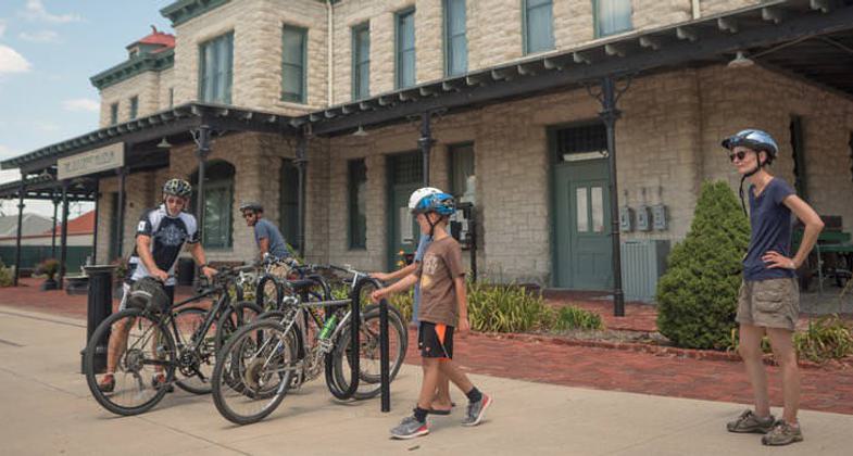
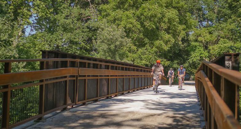
In 2013, the Kanza Rail-Trails Conservancy, the then holder of the railbank, partnered with the Kansas Department of Wildlife, Parks and Tourism (KDWPT) to step up the development of the trail. While Kanza and other volunteers are vital to trail support and maintenance, designation as a state park makes the KDWPT responsible. With grant funding, KDWPT has fully developed about 45 miles of trail, including replacing bridges and culverts and surfacing with crushed limestone. Plans are in place to develop the rest of the trail to this standard. Staff is working with adjacent landowners to creatively solve issues with open range and agricultural use on both sides of the trail. Law enforcement and maintenance patrols are regular. Special events are already taking place on the trail and more are expected as development continues. An interpreter has been hired to present the social and historical significance of the trail. Where the trail intersects with the Prairie Spirit Trail in Ottawa, the community has fully embraced the connection, building a community park adjacent to the connection. This $4 million development includes areas for concerts, farmers' markets, and other gatherings, as well as restrooms and showers to serve trail users. Businesses, such as a recently opened full-service bike shop, are located close to the trail. Communities along the trail are working toward developing the amenities needed to welcome visitors, embracing the economic benefits of trail travel. They are leveraging grants and volunteers to do so. Communities are making plans to become travel destinations, with the trail a key component of their appeal. People nearby are utilizing the trail for its health benefits as well. Not your traditional "trail travelers," these are moms with kids, senior citizens, and others who welcome a safe, traffic-free place to enjoy daily exercise.
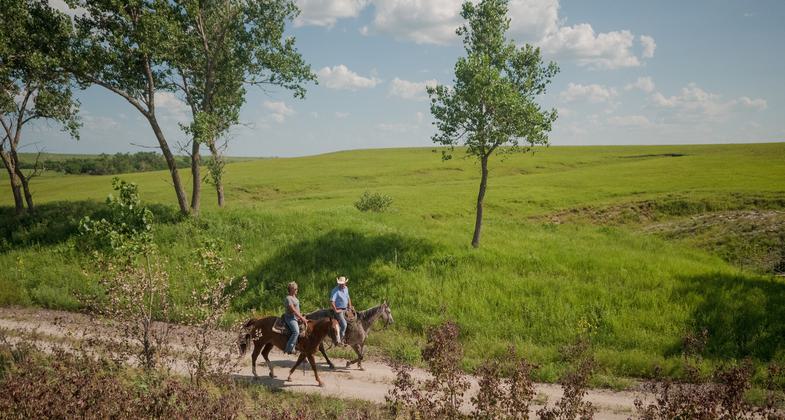
The trail is rich in natural and social history, as well. Osawatomie, at the eastern terminus, was John Brown's headquarters during his Bleeding Kansas activities. Signage set to be installed along the trail will interpret this part of Freedom's Frontier. Further along the trail, near Vassar, remnants of coal mines are interpreted as part of Kansas' mining history. Near Council Grove, the trail is adjacent to the Kaw Nation's property Allegawaho Heritage Memorial Park, where the tribe meets for occasional pow-wows, and a monument to both an unknown warrior buried nearby and Kaw chief Allegawaho. The National Old Trails Road, AKA Ocean-to-Ocean Highway, runs through Herington, Delevan, and Council Grove. Council Grove was one of the last stops before travelers headed southwest on the Santa Fe Trail. Council Grove's main street is the route of the Santa Fe Trail. The Post Office Oak, which served as an early mail stop for travelers who left messages in it, is in Council Grove, along with the Custer Elm, where Custer and his troops slept during the Civil War. Trail signage will convey this rich history to travelers. Visitors to the Flint Hill Trail can observe cattle grazing where bison once roamed. They can feel much of what early explorers and settlers must have experienced upon seeing the vast rolling hills they had to traverse on foot. And they can observe the unmatched Kansas sunsets.
Accessibility Information
No text provided.
Allowed Uses:
Bicycling Dogs, on leash Equestrian Hiking/Walking Snow, cross-country skiingOther Activities
- Heritage and history
- Snow, snow play general
- Wildlife viewing / observation
Public Contact
Trent McCownKansas Dept. of Wildlife, Parks and Tourism
419 S. Oak
Garnett, KS 66032
[email protected] • 7854482627
Contact the trail manager for current maps and visiting details.
More Details
- Elevation (low): 836
- Elevation (high): 1443
- Elevation (cumulative): --
- Part of a Trail System? No
- State Designations: State Park
- Surface (primary): Rock, crushed
- Surfaces (additional): --
- Tread Width (average): 120"
- Tread Width (minimum): 120
- Running length (minimum): --
- Tread Grade (average, percent): 95
- Tread Grade (maximum): 5
- Running length (maximum): --
- Cross-slope (average, percent): 1
- Cross-slope (maximum): --
- Running length (maximum): --
- Certified as an NRT
Oct 23, 2020


