Foothills Trail
check with the trail manager for updated details before visiting.
Foothills Trail
- Length
29 miles - Elevation Gain
-- - Route Type
out & back
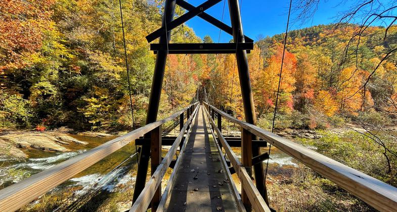
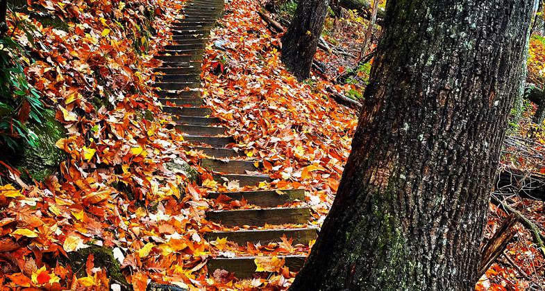
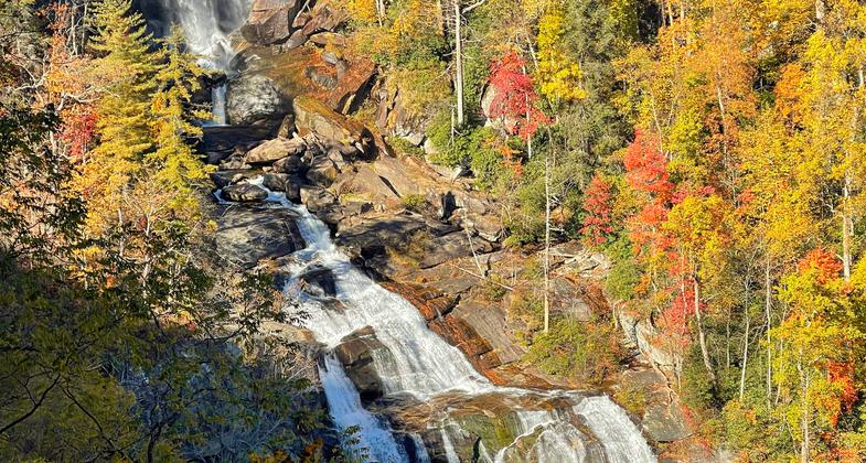
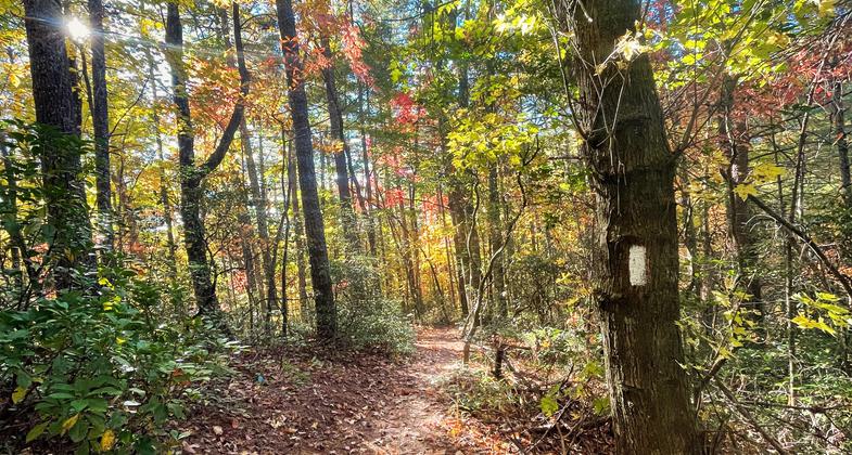
Perhaps no other trail in South Carolina provides such an extraordinary backcountry experience as the difficult, Foothills Trail in the northwest corner of the state.


Location: South Carolina's Upcountry, NW corner in Sumter National Forest off routes 130 and 107.
- States: South Carolina
- Counties: Oconee
Starting with the 1.2-mile Foothills Access Trail in Oconee State Park, only the first 28 miles of the Foothills Trail from the park to Upper Whitewater Falls was designated a National Recreation Trail in 1979. By snaking along the Blue Ridge Escarpment, this trail and its many connectors provide almost 200 miles of hiking; most of it the rugged Appalachian greenbelt variety. The trail is accessible only to hikers, although vehicular access is available to many points along the main trail which, depending on where you start, is either 80 or 85 miles long. Even so, considering numerous spur trails and connectors, an ambitious backpacker could hike the backcountry for more than a week. The National Recreation Trail portion is 28 miles long one way, although the portion from Oconee State Park to Table Rock State Park (the entire Foothills Trail) is approximately 80 miles.
Accessibility Information
No text provided.
Allowed Uses:
Dogs, on leashOther Activities
- Camping
- Fishing
Public Contact
Greg BorgenUS Forest Service
112 Andrew Pickens Circle
Mountain Rest, SC 29664
gborgen@fs.fed.us • (864) 638-9568
www.fs.fed.us/r8/fm
Contact the trail manager for current maps and visiting details.
More Details
- Elevation (low): 1600
- Elevation (high): 3000
- Elevation (cumulative): --
- Part of a Trail System? No
- Surface (primary): Soil
- Surfaces (additional): Soil
- Tread Width (average): 18"
- Tread Width (minimum): --
- Running length (minimum): --
- Tread Grade (average, percent): 5
- Tread Grade (maximum): 15
- Running length (maximum): --
- Cross-slope (average, percent): --
- Cross-slope (maximum): --
- Running length (maximum): --
- Certified as an NRT
Oct 4, 1979