Fort Circle Parks Trail
This information is a public record of the 1971 NRT application and may be out of date if it has not been updated by a trail manager --
check with the trail manager for updated details before visiting.
check with the trail manager for updated details before visiting.
Fort Circle Parks Trail
National Park Service
Frontcountry Trail
- Length
19.5 miles
- Elevation Gain
--
- Route Type
out & back
- Length
19.5 miles - Elevation Gain
-- - Route Type
out & back
Location: Highland hiker-biker trail E of Anacostia R in Wash., DC.
- States: District of Columbia
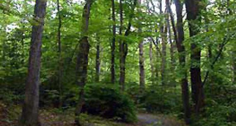
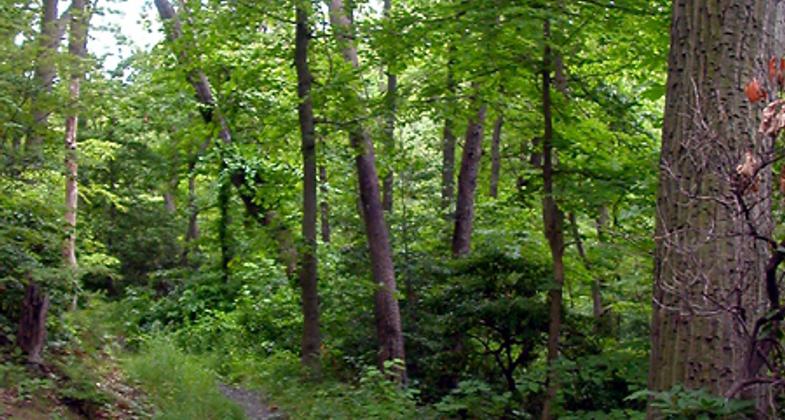
Washington, D.C.'s Fort Circle Park Hiker-Biker Trail links some of the District's dozens of Civil War-era forts (now national parks) that were built to defend the city from attack by the southern Rebels. The trail runs for seven miles through a heavily forested greenbelt between Fort Mahan in the north and Fort Stanton in the south.
Accessibility Information
No text provided.
Allowed Uses:
Bicycling Hiking/WalkingPublic Contact
National Capitol Region1100 Ohio Drive SW
Washington, DC 20242
Contact the trail manager for current maps and visiting details.
More Details
- Elevation (low): --
- Elevation (high): --
- Elevation (cumulative): --
- Part of a Trail System? No
- Surface (primary): Soil
- Surfaces (additional): Rock, crushed
- Tread Width (average): 0"
- Tread Width (minimum): --
- Running length (minimum): --
- Tread Grade (average, percent): --
- Tread Grade (maximum):
- Running length (maximum): --
- Cross-slope (average, percent): --
- Cross-slope (maximum): --
- Running length (maximum): --
- Certified as an NRT
Jun 1, 1971


