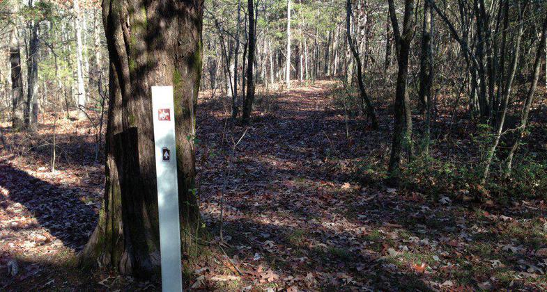
Fort Henry Hiking Trails
check with the trail manager for updated details before visiting.
Fort Henry Hiking Trails
USDA Forest Service
Backcountry Trail
- Length
29 miles
- Elevation Gain
--
- Route Type
out & back
- Length
29 miles - Elevation Gain
-- - Route Type
out & back
Location: In Land Between the Lakes Recreation Area, N of US 79, W of The Trace.
- States: Tennessee
Located in Western Kentucky and Tennessee, Land Between The Lakes (LBL) is home to a magnificent array of wildflowers. Blooms dapple the forest floor and woodland edges in a stunning variety of colors. Peak viewing occurs during the months of April and May. The Fort Henry Trails are named after the Confederate fort that connects the trail system. The trail system was used during the Civil War by Confederate and Union troops and is comprised of 10 trails totaling 26 miles. The area is steeped in a wealth of local history and natural beauty.
Viewing: A large diversity of wildflowers, ferns, trees, and rare plant communities are found along the trails. The forest floor is covered with Virginia bluebells, trilliums, rue anemones, and jack-in-the-pulpits. Dry ridge tops are dominated by shortleaf pine and chestnut oak. Moist northern slopes are populated with beech and maple making this area unique in comparison with other sites in LBL.
Information, restrooms, and picnic tables are located at the South Welcome Station.
Accessibility Information
No text provided.
Allowed Uses:
Dogs, on leash Hiking/WalkingOther Activities
- Camping
- Wildlife viewing / observation
Public Contact
Matt EdwardsTennessee Valley Authority
100 Van Morgan Dr.
Golden Pond, KY 42211
[email protected] • (270) 924-2031
Contact the trail manager for current maps and visiting details.
More Details
- Elevation (low): --
- Elevation (high): --
- Elevation (cumulative): --
- Part of a Trail System? No
- Surface (primary): --
- Surfaces (additional): --
- Tread Width (average): 72"
- Tread Width (minimum): --
- Running length (minimum): --
- Tread Grade (average, percent): 6
- Tread Grade (maximum): 15
- Running length (maximum): --
- Cross-slope (average, percent): --
- Cross-slope (maximum): --
- Running length (maximum): --
- Certified as an NRT
Oct 20, 1976


