Fort Mandan Nature and History Trail
check with the trail manager for updated details before visiting.
Fort Mandan Nature and History Trail
Nonprofit
Backcountry Trail
Frontcountry Trail
- Length
1.1 miles
- Elevation Gain
--
- Route Type
out & back
- Length
1.1 miles - Elevation Gain
-- - Route Type
out & back
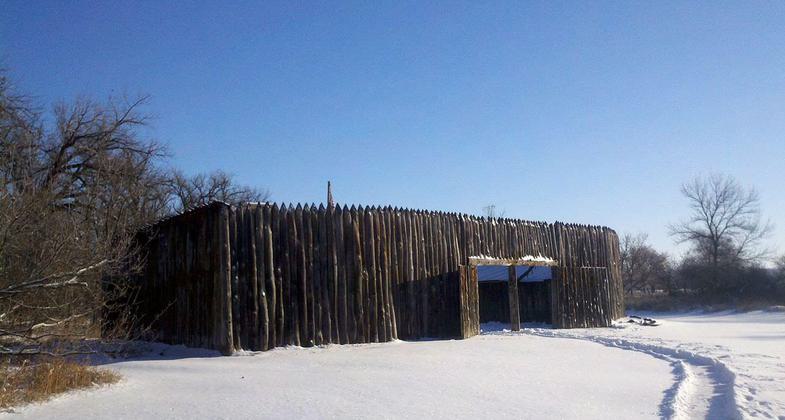
The reconstruction of Fort Mandan in winter. Photo by Gooseterrain2/wiki.
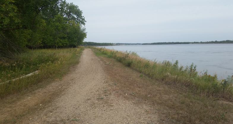
Trail next to river. Photo by Wendy Schmeichel.
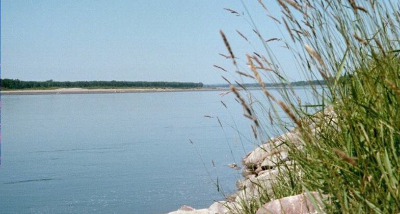
Missouri River passing the site of Fort Mandan, Washburn, ND. Photo by Chris Light/wiki.
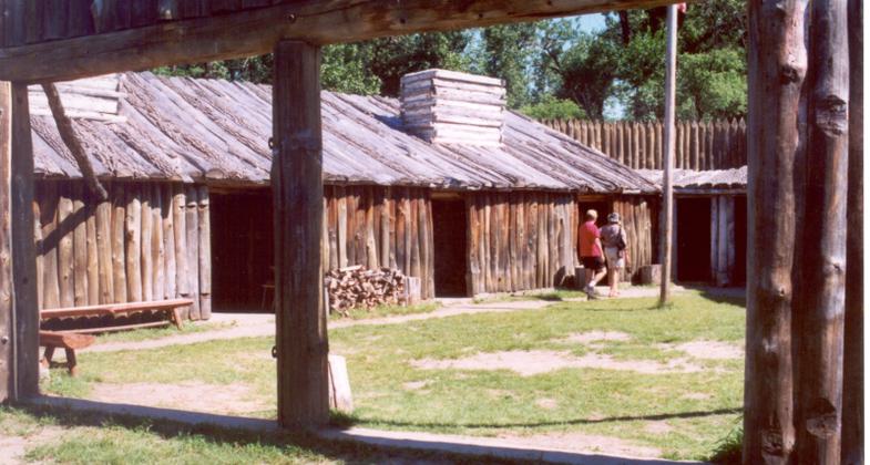
Reconstruction of Fort Mandan, Lewis & Clark Expedition, North Dakota. Photo by Chris Light/wiki.
Location: Washburn, North Dakota, At Ft. Mandan just west of Mandan.
- States: North Dakota
- Counties: McLean
The Fort Mandan Nature & History Trail is located at the replica of Fort Mandan, Lewis & Clark's wintering post of 1804-05, along the Missouri River, west of Washburn, ND. The loop trail is comprised of fly ash and cement, mixed to form a natural-looking, yet hard surface to accommodate wheelchair traffic. The trail takes walkers through the riparian forest of cottonwood trees, along the bank of the Missouri River. Filled with wildlife, including whitetail deer, pheasants, turkeys, Canada Geese and Bald Eagles nesting nearby, the Nature Trail provides a pristine environment for those enjoying it while they are visiting the Fort Mandan replica, which includes the Headwaters Fort Mandan Visitor Center and Fahlgren Park, with picnic shelters and playground area. The Trail is a partnership between the Lewis & Clark Fort Mandan Foundation and many donors who have made it possible, including members of the energy industry, the National Guard, and ND Parks and Recreation.
Accessibility Information
No text provided.
Allowed Uses:
Bicycling Dogs, on leash Hiking/Walking Snow, cross-country skiing Snow, snowshoeingOther Activities
- Fishing
- Snow, snow play general
- Wildlife viewing / observation
Public Contact
Kevin KirkeyLewis & Clark Fort Mandon Foundation
PO Box 607
Washburn, ND 58577
[email protected] • (701) 462-3430
Contact the trail manager for current maps and visiting details.
More Details
- Elevation (low): 1662
- Elevation (high): 1665
- Elevation (cumulative): --
- Part of a Trail System? No
- National Designations: Lewis & Clark National Historic Trail
- State Designations: Lewis & Clark Legacy Trail
- Surface (primary): Soil
- Surfaces (additional): Soil, Soil with stabilizer
- Tread Width (average): 72"
- Tread Width (minimum): --
- Running length (minimum): --
- Tread Grade (average, percent): --
- Tread Grade (maximum): 5
- Running length (maximum): --
- Cross-slope (average, percent): --
- Cross-slope (maximum): --
- Running length (maximum): --
- Certified as an NRT
May 31, 2006

