Frijoles Canyon
check with the trail manager for updated details before visiting.
Frijoles Canyon
National Park Service
Backcountry Trail
- Length
9 miles
- Elevation Gain
--
- Route Type
out & back
- Length
9 miles - Elevation Gain
-- - Route Type
out & back
The Frijoles Canyon trail is a very popular 8-mile one-way hike from the Ponderosa group campground to the Visitor Center.

Remnants of Tyuonyi Pueblo in Frijoles Canyon. Photo by By VitaleBaby.

Tarantulas are commonly seen on the Frijolito Loop Trail in autumn. Photo by Sally King courtesy NPS.

Frijolito Loop Trail passes through the Pinon-Juniper woodland and offers expansive views of the surrounding area. Photo by Sally King courtesy NPS.

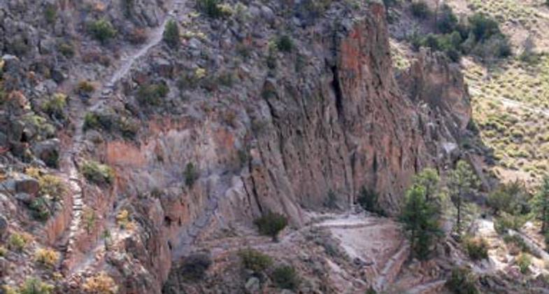
The Frey Trail switchbacks out of Frijoles Canyon and leads to Juniper Campground. Photo by Sally King courtesy NPS.

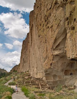
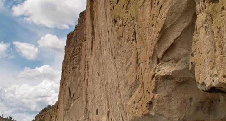
Main south-facing cliff at Bandelier National Monument. Photo by Dicklyon.
Location: At Bandelier National Monument near Laos Alamos.
- States: New Mexico
This trail has just been rebuilt after the Conchas fire and subsequent flooding and is now in great condition. From Ponderosa campground the trail descends into the canyon bottom and turns left along the creek and canyon bottom towards the Visitor Center. Take the time to enjoy the incredible rock formations and relax in the peace and quiet that is becoming so hard to find in our modern world. Be prepared to get your feet wet as there are no bridges, but the water is usually no more than a couple of inches deep.
Accessibility Information
No text provided.
Allowed Uses:
Hiking/WalkingPublic Contact
Bandelier National MonumentHCR 1
Los Alamos, NM 87544
Contact the trail manager for current maps and visiting details.
More Details
- Elevation (low): --
- Elevation (high): --
- Elevation (cumulative): --
- Part of a Trail System? No
- Surface (primary): --
- Surfaces (additional): --
- Tread Width (average): 0"
- Tread Width (minimum): --
- Running length (minimum): --
- Tread Grade (average, percent): --
- Tread Grade (maximum):
- Running length (maximum): --
- Cross-slope (average, percent): --
- Cross-slope (maximum): --
- Running length (maximum): --
- Certified as an NRT
Apr 12, 1983


