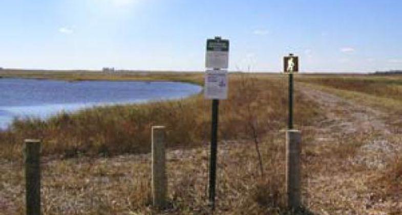
Funk Peterson Wildlife Trail
check with the trail manager for updated details before visiting.
Funk Peterson Wildlife Trail
U.S. Fish and Wildlife Service
Backcountry Trail
- Length
3 miles
- Elevation Gain
--
- Route Type
out & back
- Length
3 miles - Elevation Gain
-- - Route Type
out & back
Situated in Funk Waterfowl Production Area, this 3-mile backcountry loop trail is a bird watcher's paradise, providing habitat for millions of birds, including endangered whooping cranes and least terns that migrate biannually through the area.
Location: Funk Waterfowl Production Area
- States: Nebraska
- Counties: Buffalo
The Funk Peterson Trail is located in the Funk Waterfowl Production Area (WPA), one of the largest Waterfowl Production Areas in Nebraska. The WPA offers a pristine wetland and a grassland prairie ecosystem with diverse native plants and animals. During the fall and spring migration, millions of migratory birds which include waterfowl, shorebirds, and cranes make their way through this area in Nebraska. Endangered species such as whooping cranes and least terns also utilize this WPA making the Funk Peterson Trail a unique and excellent visitor opportunity. The trail offers many opportunities to get in touch with nature. Along the 3-mile backcountry loop trail, you can find a scenic viewpoint, interpretive signs, a handicap-accessible wildlife viewing/hunting blind, a 650-foot concrete walkway with tracks imbedded from the local wildlife, and a 150-foot boardwalk that extends into the wetland, that will allow you to get a little closer to nature. Activities include hiking, photography, hunting, and educational opportunities.
Accessibility Information
No text provided.
Allowed Uses:
Hiking/WalkingOther Activities
- Hunting
- Wildlife viewing / observation
Public Contact
Gene MackRainwater Basin Wetland Mng. Dist.
P.O. Box 1686
Keamey, NE 68848
[email protected] • (308) 236-5015
www.fws.gov/rainwater
Contact the trail manager for current maps and visiting details.
More Details
- Elevation (low): 2224
- Elevation (high): 2250
- Elevation (cumulative): --
- Part of a Trail System? No
- Surface (primary): Rock, crushed
- Surfaces (additional): Rock, crushed
- Tread Width (average): 96"
- Tread Width (minimum): --
- Running length (minimum): --
- Tread Grade (average, percent): --
- Tread Grade (maximum): 5
- Running length (maximum): --
- Cross-slope (average, percent): --
- Cross-slope (maximum): --
- Running length (maximum): --
- Certified as an NRT
May 31, 2008


