Gabrielino Trail
This information is a public record of the 1970 NRT application and may be out of date if it has not been updated by a trail manager --
check with the trail manager for updated details before visiting.
check with the trail manager for updated details before visiting.
Gabrielino Trail
USDA Forest Service
Backcountry Trail
- Length
26 miles
- Elevation Gain
--
- Route Type
out & back
(1 review)
- Length
26 miles - Elevation Gain
-- - Route Type
out & back

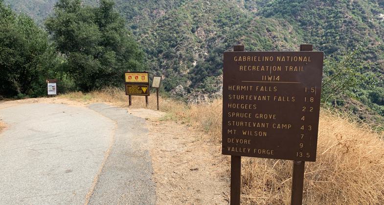
Gabrielino Trail sign at Chantry Flat (eastern) trailhead. Photo by Cris Hazzard, HikingGuy.com.

Trail Restoration

Trail Restoration

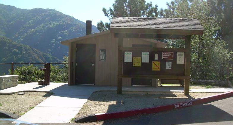
East end of the Gabrielino Trail, California. Photo by Packergreg.
Location: Los Angeles River Ranger District
- States: California
- Counties: Los Angeles
A 26 miles long point-to-point trail across the front country of the San Gabriel Mountains north of Los Angeles. It is a steep, exposed single-track trail through the mountains that the climbs over three saddles and through a number of valleys and river corridors.
Accessibility Information
No text provided.
Reviews
Cris Hazzard
Thru-Hike The Angeles National Forest
This is a great trail through the heart of Angeles NF. The trail is probably best done as a two-day backpacking trip and offers lots of camping options as well as water. I have a full trail guide on my blog, HikingGuy.com, if you'd like to give it a try.
Allowed Uses:
Bicycling Dogs, on leash Equestrian Hiking/WalkingOther Activities
- Camping
- Fishing
- Wildlife viewing / observation
Public Contact
Alberto Ortega, [email protected]
Contact the trail manager for current maps and visiting details.
More Details
- Elevation (low): 1500
- Elevation (high): 2000
- Elevation (cumulative): --
- Part of a Trail System? No
- National Designations: National Millennium
- Surface (primary): Soil
- Surfaces (additional): Soil
- Tread Width (average): 127"
- Tread Width (minimum): --
- Running length (minimum): --
- Tread Grade (average, percent): 12
- Tread Grade (maximum):
- Running length (maximum): --
- Cross-slope (average, percent): --
- Cross-slope (maximum): --
- Running length (maximum): --
- Certified as an NRT
May 17, 1970

