George S. Mickelson Trail
check with the trail manager for updated details before visiting.
George S. Mickelson Trail
State
Backcountry Trail
- Length
114 miles
- Elevation Gain
--
- Route Type
out & back
- Length
114 miles - Elevation Gain
-- - Route Type
out & back
Imagine a path where the ghosts of Wild Bill Hickcock and Calamity Jane still roam; where bicyclists, hikers and horseback riders can explore spruce and ponderosa pine forests; and the very young, the very old and people of all abilities can enjoy.
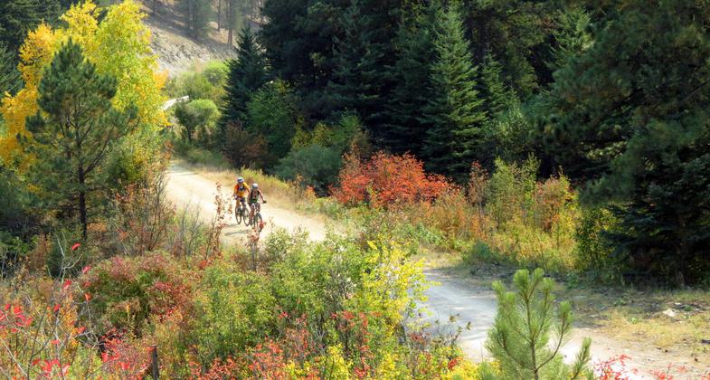
The George S. Mickelson Trail has beautiful fall colors. Photo by Brooke Smith.
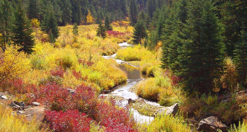
Fall colors on the George S. Mickelson trail. Photo by Lisa Sabers.

Just a few Trail Trek bikes! Photo by Dana Garry.
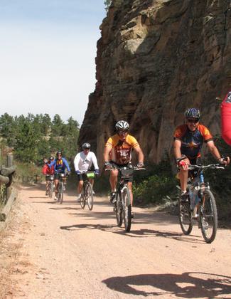
Riders of the Trail Trek coming through Sheep's Canyon and it's rock formations. Photo by Brooke Smith.
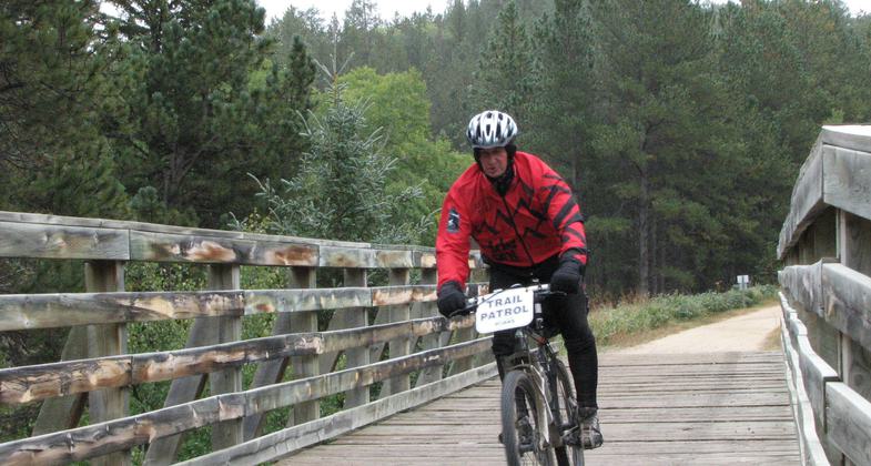
A very dedicated, cold Trail Patrolman. Photo by Brooke Smith.
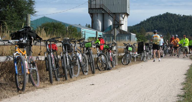
Bicycles lined up along the fence at Pringle. One of the Trailheads along the Mickelson Trail. Photo by Brooke Smith.
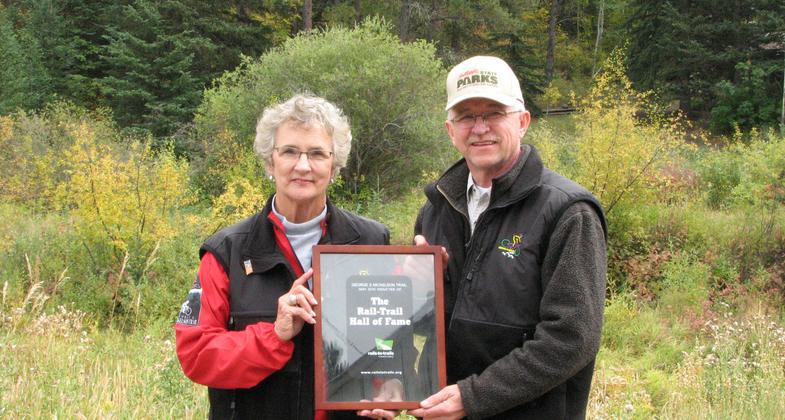
Harley Noem receives Certificate of Introduction to Rails-to-Trails Hall of Fame from Linda Mickelson Graham. Photo by Brooke Smith.
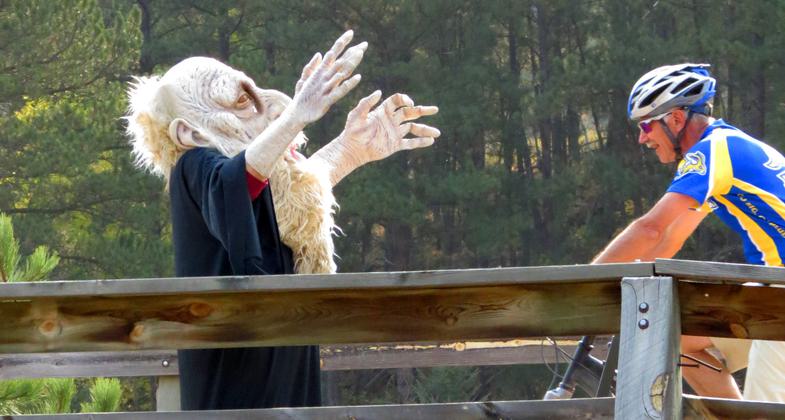
Trolls aren't just for fairy tales! A bridge Troll is helping to raise money for resurfacing. Photo by Brooke Smith.
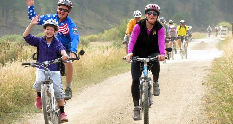
A family of bicyclers are enjoying the George S. Mickelson Trail. Photo by Brooke Smith.
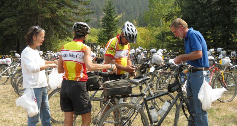
Volunteers work hard to get 575 bicycles parked during the 16th Annual Mickelson Trail Trek. Photo by Brooke Smith.
Location: Black Hills of South Dakota
- States: South Dakota
- Counties: Lawrence, Pennington, Custer
The George S. Mickelson Trail, in the heart of the beautiful Black Hills, was completed in September of 1998. Its gentle slopes and easy access allow people of all ages and abilities to enjoy the beauty of the Black Hills. Much of the trail passes through National Forest Land, but there are parts of the trail that pass through privately owned land, where the trail use is restricted to the trail only.
The trail is 109 miles long and contains more than 100 converted railroad bridges and 4 rock tunnels. The trail surface is primarily crushed limestone and gravel. There are 15 trailheads, all of which offer parking, self-sale trail pass stations, vault toilets, and tables.
A majority of the trail does not exceed a 4% grade, but parts of the trail are considered strenuous. Dumont is the highest point and the 19-mile stretch from Deadwood to Dumont is the longest incline.
Accessibility Information
No text provided.
Allowed Uses:
Bicycling Hiking/WalkingPublic Contact
Harley NoemSD Department of Game, Fish and Parks
11361 Nevada Gulch Rd.
Lead, SD 57754
[email protected] • (605) 584-3896
www.MickelsonTrail.com
Contact the trail manager for current maps and visiting details.
More Details
- Elevation (low): 3490
- Elevation (high): 6200
- Elevation (cumulative): --
- Part of a Trail System? No
- National Designations: Legacy Millenium
- State Designations: 1998 Special Achievement Award from Black Hills<co
- Surface (primary): Rock, crushed
- Surfaces (additional): Rock, crushed
- Tread Width (average): 96"
- Tread Width (minimum): --
- Running length (minimum): --
- Tread Grade (average, percent): 2
- Tread Grade (maximum): 4
- Running length (maximum): --
- Cross-slope (average, percent): --
- Cross-slope (maximum): --
- Running length (maximum): --
- Certified as an NRT
Jun 1, 2004

