Ghost Town Trail
check with the trail manager for updated details before visiting.
Ghost Town Trail
City, Town, or County
Rail Trail
- Length
57 miles
- Elevation Gain
--
- Route Type
out & back
(1 review)
- Length
57 miles - Elevation Gain
-- - Route Type
out & back
The Ghost Town Trail is a rails-to-trails facility located in Cambria and Indiana Counties in south central Pennsylvania.
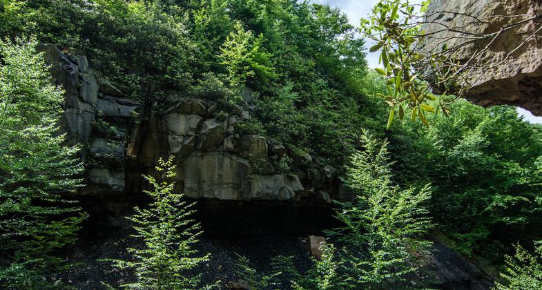
Surface Reclamation. A mine dump formerly occupied this area. Photo by Mary Shaw.

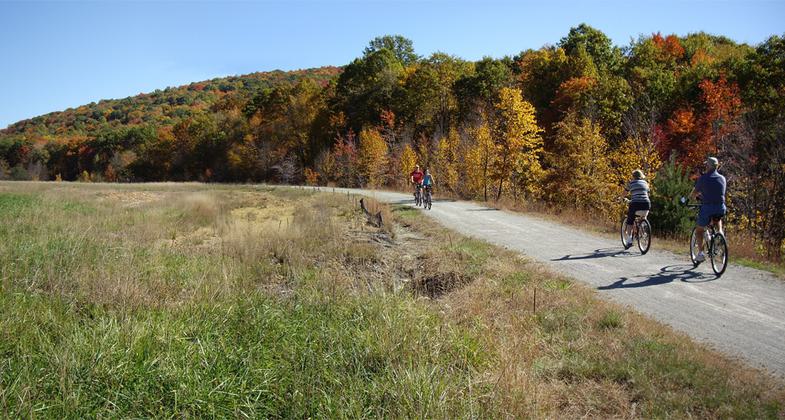
Winner 2022 NRT Photo Contest, Trail as Photographic Inspiration. Photo by Jessica Marines.
2020 NRT Photo Contest Winner - Rail and Canal Trails. Photo by Cory Shoff.

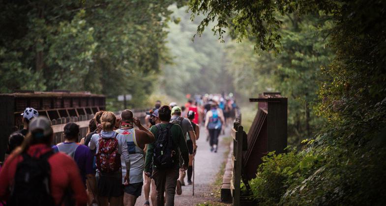
Participants of the 50K Ghost Town Trail Challenge leap for joy after completing 13 miles of the 32 mile run/hike challenge. Photo by Lance Harshbarger.
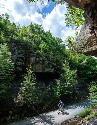
Twin Rocks and waterfall. Photo by Lance Harshbarger.
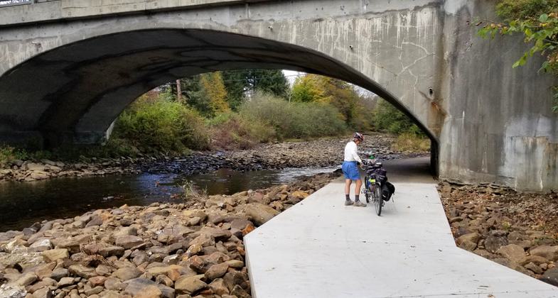
Rexis Spur Under Highway. Photo by Mary Shaw.
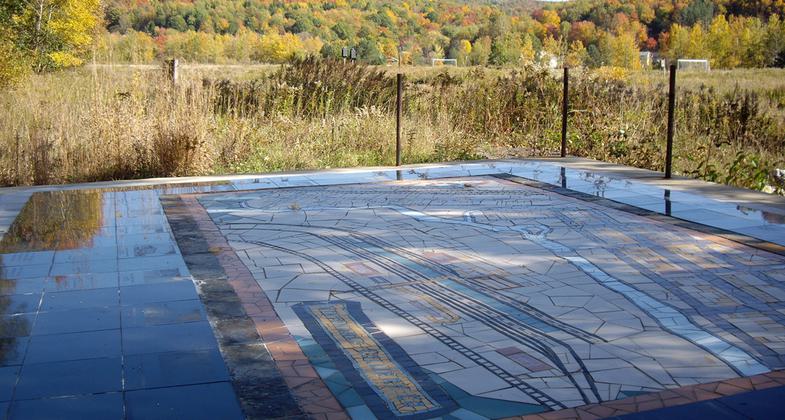
Historical Mosaic. Photo by Mary Shaw.
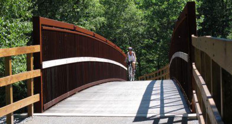
Location: Saylor Park (Blacklick) to Ebensburg
- States: Pennsylvania
- Counties: Indiana, Cambria
The Ghost Town Trail is a rails-to-trails facility located in Cambria and Indiana Counties in south-central Pennsylvania. Opened for public use in 1994, the trail is 24 miles long and presently extends from Dilltown in Indiana County to Ebensburg in Cambria County. Following the South Branch and Main Stem of the Blacklick Creek, the packed crushed limestone trail passes through several abandoned coal towns or "ghost towns" from the early 20th-century coal industry. There is also a four-mile branch, known as the Rexis Branch, which follows the North Branch of the Blacklick Creek, from Vintondale to the White Mill Station at PA Route 422. Over the eight years, the trail has been open, more than 75,000 annual users have enjoyed the sights, sounds, and beauty of the Ghost Town Trail while hiking, biking, or cross-country skiing during every season of the year.
Accessibility Information
No text provided.
Reviews
Danette Pisarcik
Favorite trail!!!
Beautiful trail! Lots of history, excellently maintained, and well used but not over used. Peaceful, open, awesome sections with beautiful vistas and the river is lovely. Tranquil and restorative to mental, emotional, and spiritual health.
Allowed Uses:
Bicycling Dogs, on leash Hiking/Walking Snow, cross-country skiing Snow, snowshoeingOther Activities
- Snow, snow play general
Public Contact
Delores J. ColumbusCambria County Conservation & Recreation Authority
401 Candlelight Dr.
Ebensburg, PA 15931
[email protected] • (814) 472-2110
www.co.cambria.pa.u
Contact the trail manager for current maps and visiting details.
More Details
- Elevation (low): 980
- Elevation (high): 200
- Elevation (cumulative): --
- Part of a Trail System? No
- Surface (primary): Rock, crushed
- Surfaces (additional): --
- Tread Width (average): 120"
- Tread Width (minimum): 120
- Running length (minimum): --
- Tread Grade (average, percent): 1
- Tread Grade (maximum): 1
- Running length (maximum): --
- Cross-slope (average, percent): --
- Cross-slope (maximum): --
- Running length (maximum): --
- Certified as an NRT
Jun 4, 2003

