Grand Trunk Trail
check with the trail manager for updated details before visiting.
Grand Trunk Trail
U.S. Corps of Engineers
Rail Trail
- Length
3.5 miles
- Elevation Gain
--
- Route Type
out & back
(1 review)
- Length
3.5 miles - Elevation Gain
-- - Route Type
out & back
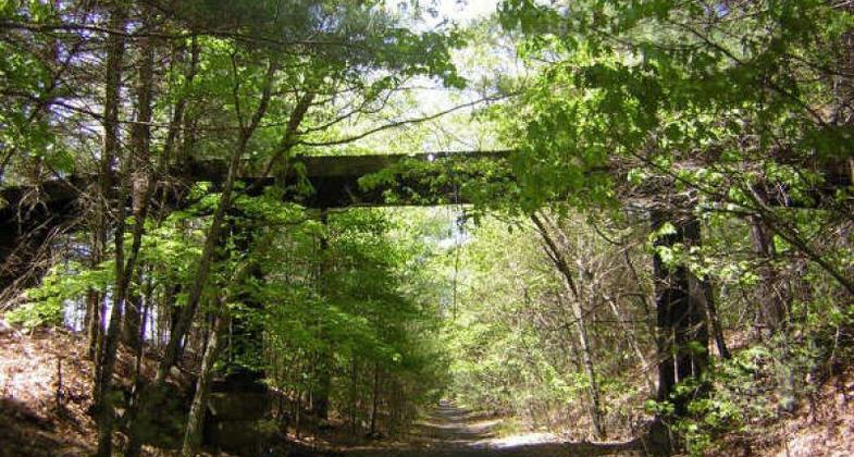
Old road bridge near Connecticut line, Douglas, MA. Photo by Scott Benoit.
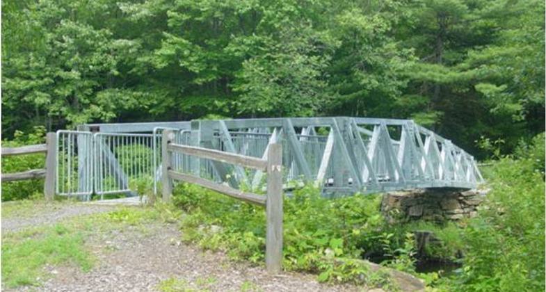
Ed Calcutt Bridge
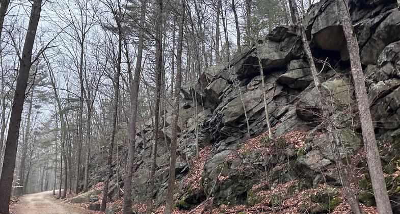
Photo by Janie Walker.
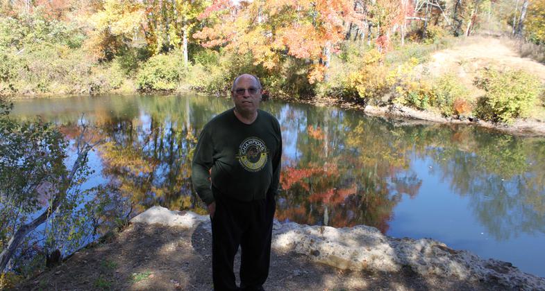
East Brimfield Trail at location of Grand Trunk bridge by Quinebaug in fall. Photo by Ken Lucier.
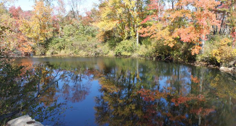
East Brimfield Trail at location of Grand Trunk bridge by Quinebaug in fall. Photo by Lois Lucier.
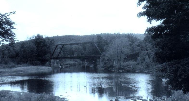
Old Trolley Bridge across Quinebaug at East Brimfield. Photo by Ken Lucier.
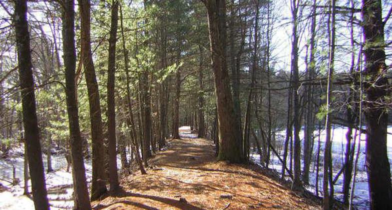
Raised trail bed rises above the snow, Brimfield, MA. Photo by Scott Benoit.
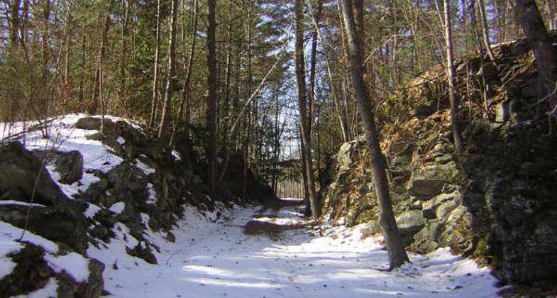
Rock cut on Grand Trunk Trail, Brimfield, MA. Photo by Scott Benoit.
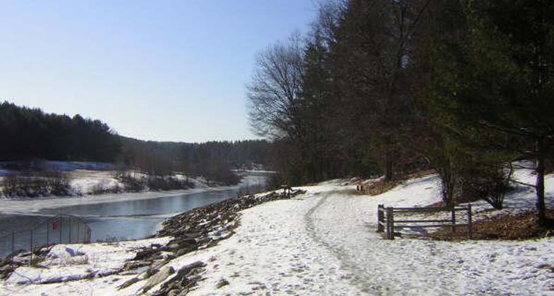
On the side of Westville Dam, Southbridge/Sturbridge line. Photo by Scott Benoit.
Location: Runs between Southbridge and Old Sturbridge Village.
- States: Massachusetts
- Counties: Worcester
The Grand Trunk Trail begins in the Town of Southbridge, Massachusetts, and follows the old Grand Trunk Railroad bed through a variety of spectacular landscapes. Upon completion, the 5-mile trail will connect to historic Old Sturbridge village via a bicycle trail along the Quinebaug River. This trail is a link in the growing east-west greenways system taking shape in southern New England. It not only connects with trails in nearby States but will also provide access to the Westville Recreation Area, a 578-acre flood control project utilized by hikers, bicyclists, and fishermen.
Accessibility Information
No text provided.
Reviews
Janie Walker
Pleasant stroll
Nice stroll through the woods and by the river on a wide flat path. Easy to follow. This trail is a work in progress, so my five stars are for the completed section described on the NRT database. It can be hard to figure out how many stars to give a trail sometimes - there are no grand sweeping views etc on this trail for example , but Grand Trunk is well maintained and scenic for what it is - a nice walking/biking greenway by the river.
Allowed Uses:
Bicycling Hiking/WalkingPublic Contact
Keith BeecherUS Army Corps of Engineers
Westville Lake
Fiskdale, MA 1518
[email protected] • (508) 347-3705
Contact the trail manager for current maps and visiting details.
More Details
- Elevation (low): --
- Elevation (high): --
- Elevation (cumulative): --
- Part of a Trail System? No
- Surface (primary): Rock, crushed
- Surfaces (additional): Rock, crushed
- Tread Width (average): 0"
- Tread Width (minimum): --
- Running length (minimum): --
- Tread Grade (average, percent): 1
- Tread Grade (maximum): 1
- Running length (maximum): --
- Cross-slope (average, percent): --
- Cross-slope (maximum): --
- Running length (maximum): --
- Certified as an NRT
May 31, 2001

