Grandfather Trail
check with the trail manager for updated details before visiting.
Grandfather Trail
Nonprofit
Backcountry Trail
- Length
2.5 miles
- Elevation Gain
--
- Route Type
out & back
- Length
2.5 miles - Elevation Gain
-- - Route Type
out & back
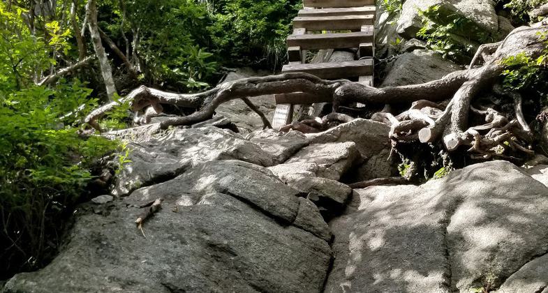
Upper mountain ridge trail of great variety - spruce/fir forest, mountain, open space. Cables and ladders for steep sections.
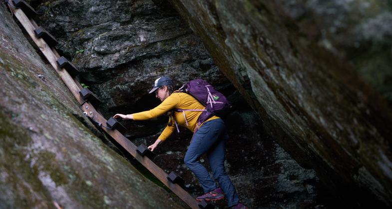
Winner 2024 NRT Photo Contest, Innovative Facilities. Photo by David Huff
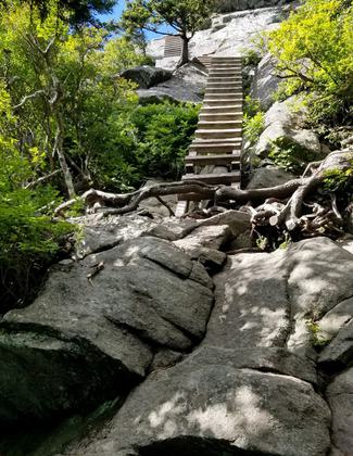
Ladders climbing up to MacRae Peak. Photo by John Caveny.
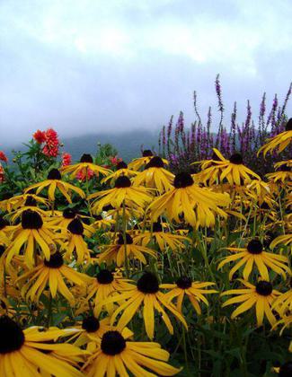
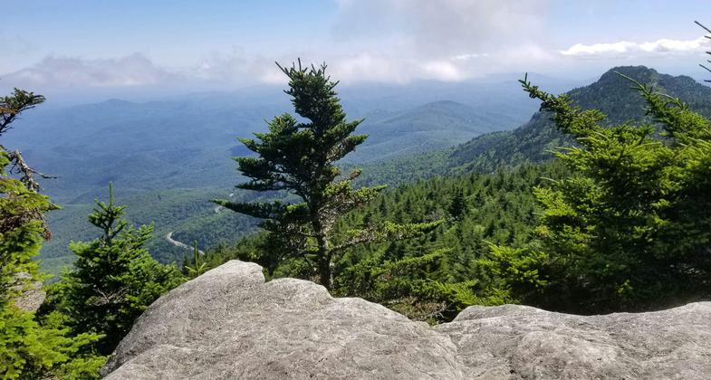
View from Calloway Peak. Photo by John Caveny.
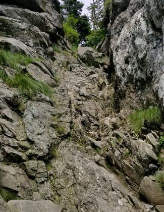
The Chute going up to Attic Window Peak. Photo by John Caveny.
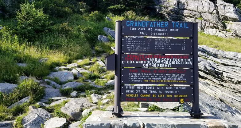
Grandfather Trail trailhead. Photo by John Caveny.
Location: Grandfather Mountain State Park
- States: North Carolina
Upper mountain ridge trail of great variety - spruce/fir forest, mountain, open space. Cables and ladders for steep sections. Two centuries ago explorer/botanist Andre Michaux thought that he had arrived at the high point of North America here.
Camping: Backpack-in, primitive, campsites are available with access only from Grandfather Mountain State Park property (828-963-9522). Campers cannot leave vehicles on Grandfather Mountain Stewardship Foundation property overnight.
Entry fee: Yes, $20 per adult/$9 per child to enter Grandfather Mountain Stewardship Foundation Park. Access is free from Grandfather Mountain State Park
NOTE: Hiking permits are required to hike trails.
Hiking trails close at different designated times throughout the year. Hikers have to return to their vehicles by the trail closure time or a search will be started for the hikers.
Accessibility Information
No text provided.
Allowed Uses:
Dogs, on leash Hiking/WalkingOther Activities
- Camping
- Wildlife viewing / observation
Public Contact
John CavenyGrandfather Mountain Stewardship Foundation
PO Box 129
Linville, NC 28646
[email protected] • (828) 773-0833
grandfather.com
Contact the trail manager for current maps and visiting details.
More Details
- Elevation (low): --
- Elevation (high): --
- Elevation (cumulative): --
- Part of a Trail System? No
- Surface (primary): Soil
- Surfaces (additional): --
- Tread Width (average): 72"
- Tread Width (minimum): --
- Running length (minimum): --
- Tread Grade (average, percent): --
- Tread Grade (maximum):
- Running length (maximum): --
- Cross-slope (average, percent): --
- Cross-slope (maximum): --
- Running length (maximum): --
- Certified as an NRT
Aug 16, 1982

