Grandma Gatewood Memorial Hiking Trail
This information is a public record of the 1980 NRT application and may be out of date if it has not been updated by a trail manager --
check with the trail manager for updated details before visiting.
check with the trail manager for updated details before visiting.
Grandma Gatewood Memorial Hiking Trail
State
Backcountry Trail
- Length
6 miles
- Elevation Gain
--
- Route Type
out & back
- Length
6 miles - Elevation Gain
-- - Route Type
out & back
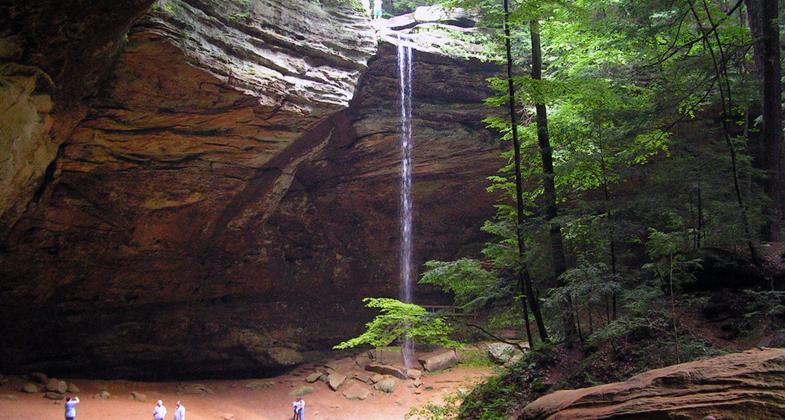
Ash Cave is one of the sights along the trail. Photo by Ramseybuckeye.
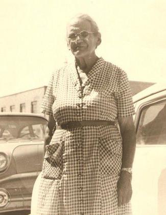
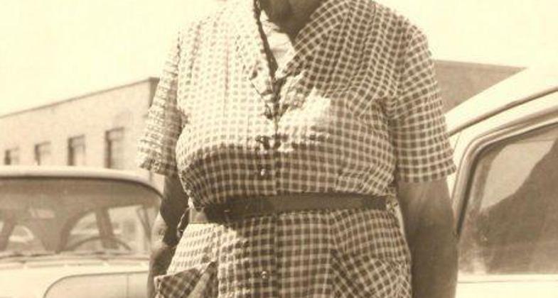
Emma Gatewood. Photo by Stratness.
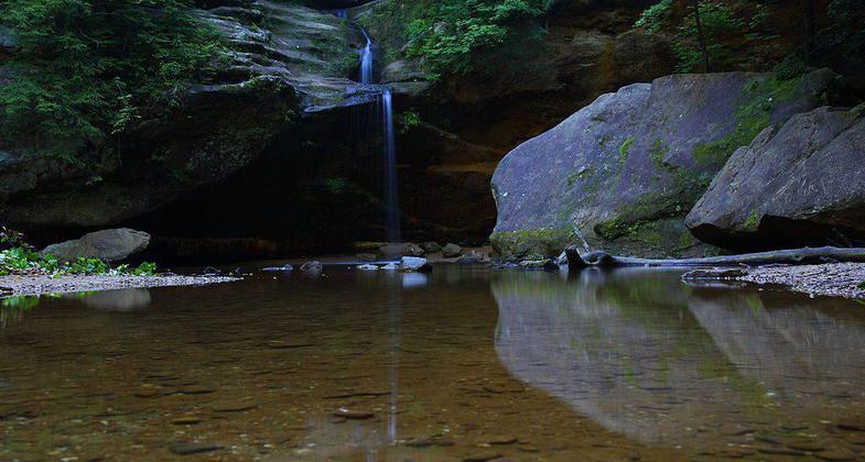
Old Man's Cave, another sight along the trail. Photo by ForestWander.
Location: Rural, hike to Cedar Falls and Ash Cave.
- States: Ohio
Massive rock outcroppings, towering hemlocks, and cool and deep gorges laced with clear rushing streams and waterfalls make this a year-round paradise. Old Man's Cave is named for the hermit Richard Rowe, who lived in the area in the 1800s. Waterfall down a cliff face.
Accessibility Information
No text provided.
Allowed Uses:
Dogs, on leash Hiking/WalkingOther Activities
- Wildlife viewing / observation
Public Contact
Steve BennettOhio Dept. of Natural Resources
1952 Belcher Dr. Building C-3
Columbus, OH 43224
[email protected] • (614) 265-6561
Contact the trail manager for current maps and visiting details.
More Details
- Elevation (low): --
- Elevation (high): --
- Elevation (cumulative): --
- Part of a Trail System? No
- Surface (primary): --
- Surfaces (additional): --
- Tread Width (average): 36"
- Tread Width (minimum): --
- Running length (minimum): --
- Tread Grade (average, percent): --
- Tread Grade (maximum):
- Running length (maximum): --
- Cross-slope (average, percent): --
- Cross-slope (maximum): --
- Running length (maximum): --
- Certified as an NRT
Feb 25, 1980

