Greater Hazleton Rails to Trails
check with the trail manager for updated details before visiting.
Greater Hazleton Rails to Trails
Private
Rail Trail
- Length
6.5 miles
- Elevation Gain
--
- Route Type
out & back
- Length
6.5 miles - Elevation Gain
-- - Route Type
out & back
The Greater Hazleton Rail Trail (GHRT) is 6.5 miles long with breathtaking scenic views such as wetlands, a reservoir, and rare Pine & Heath Barrens.

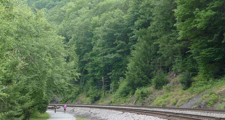
A section of the Lehigh Gorge Trail, near Jim Thorpe, PA. Photo by Listroiderbob2.

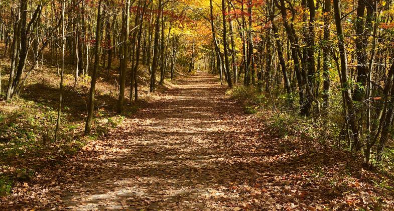
Fall Hazleton Rails to Trails. Photo by Jerome Machey.
Location: E of Hazleton from SR 93E eventually to Lehigh Gorge Trail
- States: Pennsylvania
- Counties: Luzerne, Carbon
Although the right of way is owned by the Hazleton City Water Authority, Butler Enterprises, and Cabot Corporation, it is on a 50-year lease with the Greater Hazleton Area Civic Partnership (GHACP). Along with natural resources, it also runs through the historic part of the community showing small patch towns and both active strip mining and past mining scarred lands. In 2020, a box culvert was installed on GHRT under a mining haul road.
The crushed limestone path features exercise stations, parking, picnic tables, and scenic benches. The Trail gives access to citizens from 12 municipalities covering three counties making the total population of the citizenry numbers over 65,000. In the future, the trail will eventually be connected to the Delaware and Lehigh National Heritage Corridor (D&L NHC) which will make the overall Trail approximately 16 miles long. After the connection to the D&L Trail, it will then connect up with the Susquehanna Greenways Partnership (SGP) trail system in Wilkes-Barre PA. Along the route to the D&L NHC, it will connect the Greater Hazleton area with the historic Eckley Miners' Village (State Historic Museum Site), Lehigh Gorge State Park, and the surrounding game lands.
Upon completion, the Trail will provide four parking areas, 10 exercise stations, and a number of accommodating picnic tables, benches, and interpretive signs as well as environmental education areas. The GHRT is successful already and provides a lot of unique features throughout the path and the community, and will continue to do so. The Trail has infrared counters monitoring use since September of 2007 and they are showing average use of 20,000 visits a year (see attached monthly use from June of 2008). The spike in use on June 7th is from our 5th Annual National Trails Day Celebration. Numerous health partners are involved with the Trail run activities and also educate the public on everyday health issues like keeping in shape.
In honor of National Trails Day, a free to the public Hike & Bike Event takes place at the trail every year at the beginning of June. In October a Town & Trail Race Series takes place at the trail for runners and walkers of all ages.
Accessibility Information
No text provided.
Allowed Uses:
Bicycling Dogs, on leash Hiking/Walking Snow, cross-country skiing Snow, snowshoeingOther Activities
- Snow, snow play general
- Wildlife viewing / observation
Public Contact
Greater Hazleton Area Civic Partnership8 W Broad St, Suite M-1490
Hazleton, PA 18201
[email protected] • (570) 455-1509 ext. 110
Contact the trail manager for current maps and visiting details.
More Details
- Elevation (low): 1543
- Elevation (high): 1750
- Elevation (cumulative): --
- Part of a Trail System? No
- Surface (primary): Rock, crushed
- Surfaces (additional): Rock, crushed
- Tread Width (average): 120"
- Tread Width (minimum): --
- Running length (minimum): --
- Tread Grade (average, percent): 1
- Tread Grade (maximum): 3
- Running length (maximum): --
- Cross-slope (average, percent): --
- Cross-slope (maximum): --
- Running length (maximum): --
- Certified as an NRT
May 25, 2009


