Green Mountain Recreational Preserve Trail System
check with the trail manager for updated details before visiting.
Green Mountain Recreational Preserve Trail System
Nonprofit
Backcountry Trail
- Length
4.9 miles
- Elevation Gain
--
- Route Type
out & back
- Length
4.9 miles - Elevation Gain
-- - Route Type
out & back
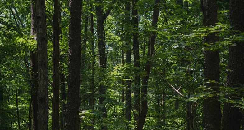
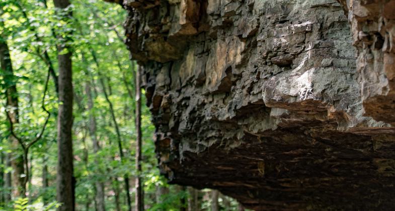
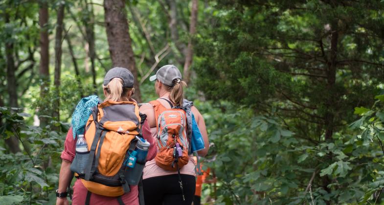
Green Mountain Nature Preserve, owned and managed by Land Trust of North Alabama, features two primary streams and waterfalls that flow most of the year, ultimately contributing to the Tennessee River. This preserve includes a variety of interesting natural and historic features, including a prehistoric Native American camp and Alum Cave, a rock shelter that was used during the Middle Woodland period. Visitors can explore over 5 miles of trails, varying from easy to difficult.
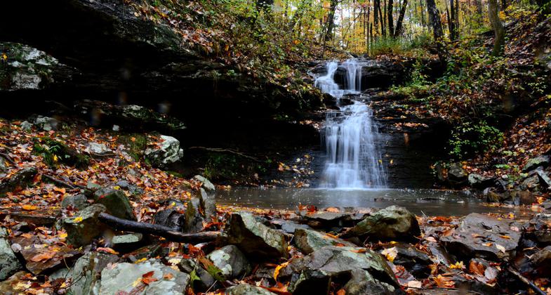
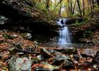
Alum Falls on Green Mountain Nature Preserve. Photo by Jeff Schreier
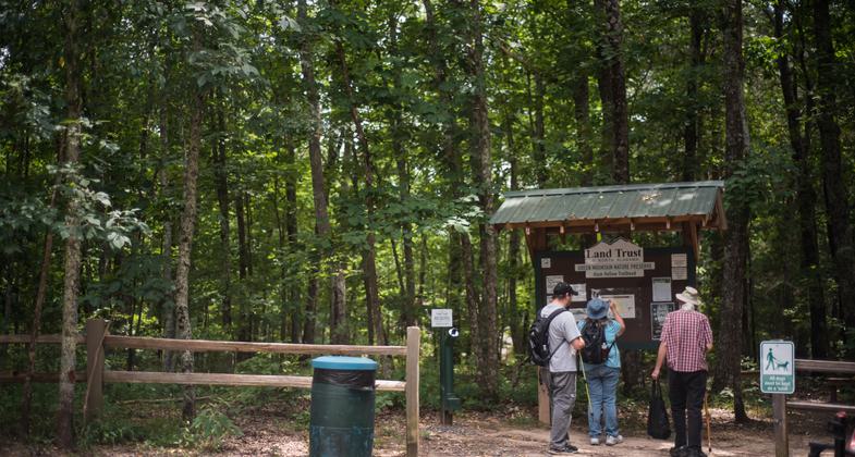
Photo
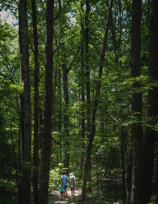
Photo
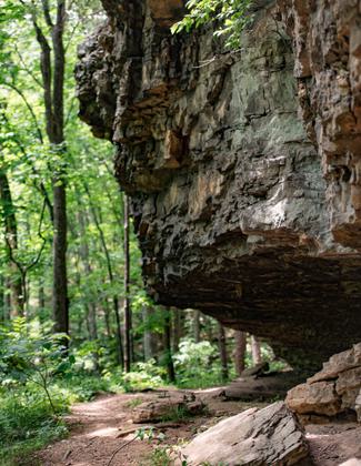
Photo
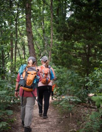
Photo
Location: Trail system along the southern slopes of Green Mountain located approximately 13 miles southeast of Huntsville, Alabama and just north of the Tennessee River
- States: Alabama
- Cities/Townships: Huntsville
Green Mountain Nature Preserve, owned and managed by Land Trust of North Alabama, opened in 2016 after long-time Land Trust supporters donated 122 acres with hopes that others would "travel up to Green Mountain to enjoy the beautiful trees, bluffs, and streams." The preserve has grown over the years with several additions from land donations as well as acquisitions funded through community support. This unique property features two primary streams and waterfalls that flow most of the year, ultimately contributing to the Tennessee River. It also holds a prehistoric Native American camp (ca.10,300" 9,100 BC) as well as Alum Cave, a rock shelter that was used during the Middle Woodland period (1AD" 500AD). This preserve includes a variety of interesting natural and historic features and offers visitors over 5 miles of trails, varying from easy to difficult.
Alum Hollow Trail, the one-mile main trail in the Green Mountain network, follows the bluff and is easily navigable with the exception of a steep downhill climb at the end. The final destination is Alum Falls, a picturesque waterfall, and around the corner Alum Cave, a rock overhang that the Native Americans used for shelter. East Plateau & West Plateau Trails are primarily flat with gentle hills and a few boardwalks. Both begin and end along Alum Hollow Trail. Stonefly Trail meanders down the mountain connecting to a nearby subdivision. Talus Trail, meaning "a sloping mass of rock fragments", is appropriately named for its very rocky terrain. The trail takes a steep climb down the mountainside and into the hollow, offering a challenge for hikers. Ranger Trail, also rated difficult, takes its name from the remnants of the Ranger Truck abandoned alongside it. This trail ventures downhill then loops back uphill to Alum Cave and the waterfall.
The trail network serves as a portion of the City of Huntsville's Greenway Master Plan as well as the Land Trust's River to Gap initiative, a vision for a permanently preserved corridor stretching from Blevins Gap on the northern edge of Green Mountain south to the Tennessee River (approximately 7.5 miles).
The surrounding community has embraced the preserve and provides the bulk of volunteer support needed to maintain the trails. Trail building projects were completed and continue with many volunteer hours contributed by neighbors working alongside Land Trust staff.
Regular trail care work days are held at least twice a month at Land Trust nature preserves. The location for these work days is determined based on need. Visitors, volunteers, and staff report trail problems and the Land Manager prioritizes projects and allocates resources to address them. Preserve rules are posted on trailhead kiosks to provide information such as opening hours (dawn to dusk), permitted and prohibited uses (i.e. no motorized vehicles, no bikes 24 hours after rainfall, no hunting, camping, etc.), behaviors expected of all visitors (i.e. leave no trace, stay on marked trails, no trail modifications, etc.). Seasonal tips are also posted on trailhead kiosks which include recommendations to encourage visitors to use caution and enjoy trails in a responsible way (examples: bring a buddy/map/water, be aware of seasonal hazards, ticks, snakes, etc.). Visitors are instructed to notify local law enforcement if they encounter suspicious activity. The Land Trust also maintains relationships with preserve neighbors who help monitor activity on the property and in some cases, these partners also handle regular maintenance tasks such as mowing, trail building/maintenance, and litter cleanup" in coordination with Land Trust staff. Local groups, businesses, and individuals can adopt trails through out Trail Care Partners program in order to provide additional maintenance and monitoring. All trails are well marked and a trail map is provided on the trailhead kiosk but can also be downloaded from landtrustnal.org.
Accessibility Information
No text provided.
Allowed Uses:
Bicycling Dogs, on leash Hiking/WalkingOther Activities
- Caving
- Heritage and history
- Wildlife viewing / observation
Public Contact
Andy PrewettLand Trust of North Alabama
2707 Artie St SW Suite 6
Huntsville, AL 35805
[email protected] • 256-534-5263
Contact the trail manager for current maps and visiting details.
More Details
- Elevation (low): 806
- Elevation (high): 1368
- Elevation (cumulative): --
- Part of a Trail System? No
- Surface (primary): Soil
- Surfaces (additional): Boardwalk, Rock, boulders, Rock, smooth, Soil
- Tread Width (average): 24"
- Tread Width (minimum): 18
- Running length (minimum): --
- Tread Grade (average, percent): 4
- Tread Grade (maximum): 15
- Running length (maximum): --
- Cross-slope (average, percent): 0
- Cross-slope (maximum): --
- Running length (maximum): --
- Certified as an NRT
Jun 3, 2021

