Greyrock Mountain
This information is a public record of the 1979 NRT application and may be out of date if it has not been updated by a trail manager --
check with the trail manager for updated details before visiting.
check with the trail manager for updated details before visiting.
Greyrock Mountain
USDA Forest Service
Backcountry Trail
- Length
3.1 miles
- Elevation Gain
--
- Route Type
out & back
- Length
3.1 miles - Elevation Gain
-- - Route Type
out & back
Greyrock is one of the most heavily used trails in Northern Colorado.
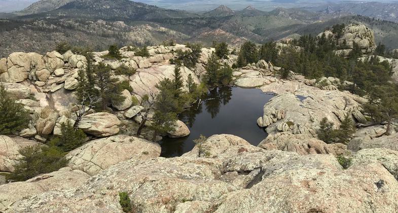
The summit looking east. Photo by Pam Riches.
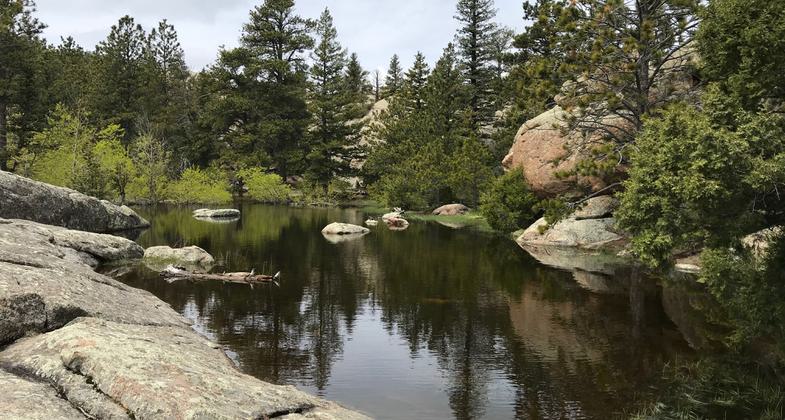
Seasonal water at the summit area. Photo by Pam Riches.
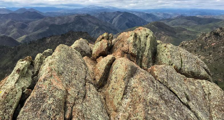
The summit looking west. Photo by Pam Riches.
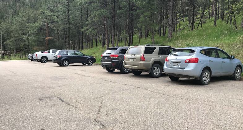
Busy trailhead, limited parking. Photo by Pam Riches.
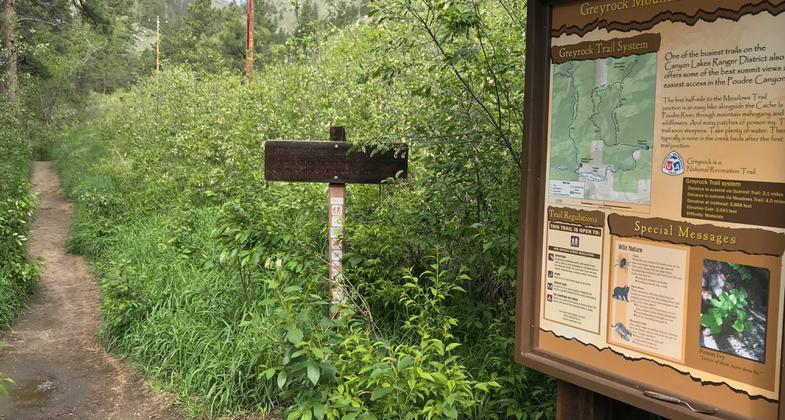
Trailhead. Photo by Pam Riches.
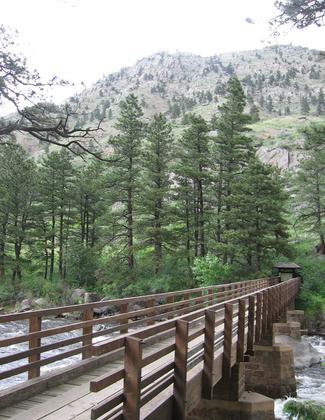
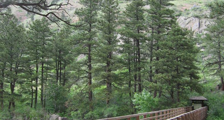
Greyrock Trail. Photo by USFS.
Location: 15 miles west of Ft. Collins, CO. on CO Hwy 14., In Arapaho-Roosevelt National Forest 20 mi. NW of Fort Collins on SR 14.
- States: Colorado
- Counties: Larimer
One of the busiest trails in northern Colorado. The trail is steep, gaining 2,039 ft in 3.1 miles. Greyrock Meadows Trail (2.6 mi.) is a loop trail off of the Greyrock Trail and can be traveled for different views. Greyrock climbs from the Poudre Canyon alongside the Cache la Poudre Wild and Scenic River. The top of Greyrock provides views of plains out to the east and mountains to the west. Please stay on the trail.
Accessibility Information
No text provided.
Allowed Uses:
Dogs, on leash Hiking/WalkingOther Activities
- Camping
- Fishing
Public Contact
Kevin CannonUS Forest Service
1311 South College
Fort Collins, CO 80524
[email protected] • (970) 498-2719
www.fs.fed.us/arnf
Contact the trail manager for current maps and visiting details.
More Details
- Elevation (low): 5574
- Elevation (high): 7613
- Elevation (cumulative): --
- Part of a Trail System? No
- Surface (primary): Rock, crushed
- Surfaces (additional): Rock, crushed
- Tread Width (average): 18"
- Tread Width (minimum): --
- Running length (minimum): --
- Tread Grade (average, percent): 7
- Tread Grade (maximum): 15
- Running length (maximum): --
- Cross-slope (average, percent): --
- Cross-slope (maximum): --
- Running length (maximum): --
- Certified as an NRT
Dec 12, 1979

