Grimes Point Petroglyph Trail
This information is a public record of the 1978 NRT application and may be out of date if it has not been updated by a trail manager --
check with the trail manager for updated details before visiting.
check with the trail manager for updated details before visiting.
Grimes Point Petroglyph Trail
Bureau of Land Management
Backcountry Trail
- Length
0.6 miles
- Elevation Gain
--
- Route Type
out & back
- Length
0.6 miles - Elevation Gain
-- - Route Type
out & back
Grimes Point is one of the largest and most accessible petroglyph (rock art) sites in the United States
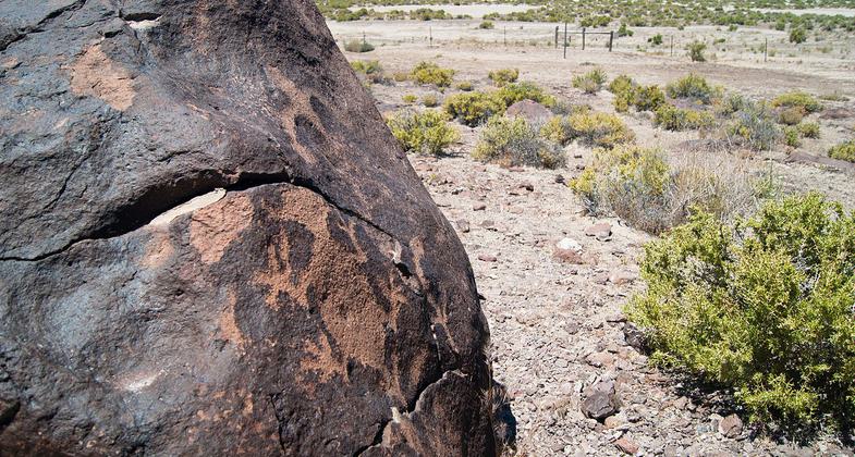
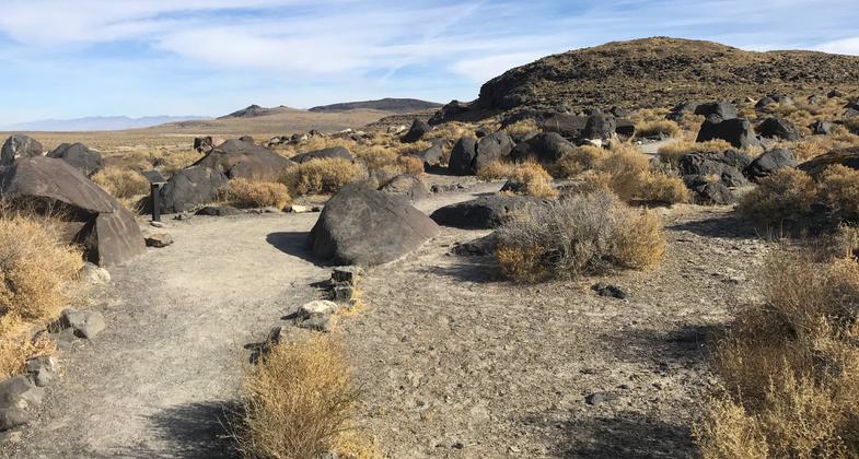
Trail. Photo by Pam Riches.
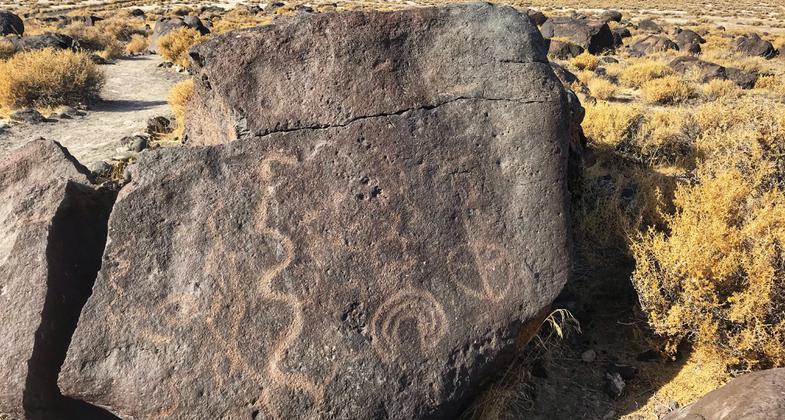
Petroglyph. Photo by Pam Riches.
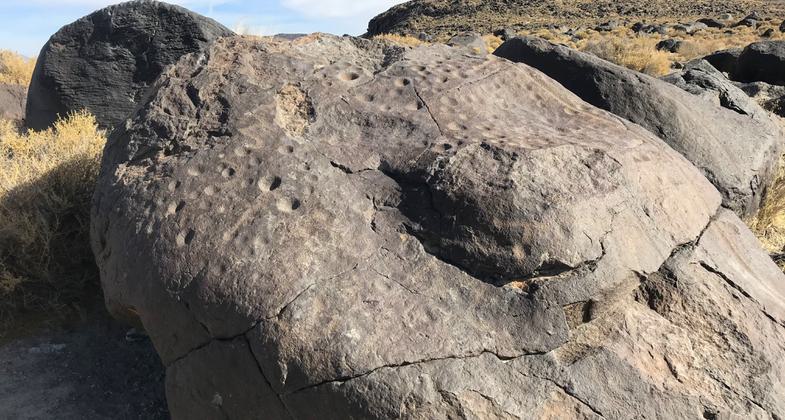
Petroglyph. Photo by Pam Riches.
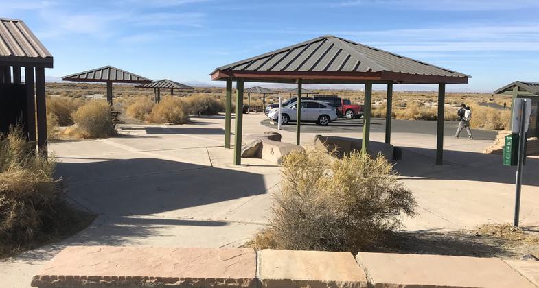
Parking Area. Photo by Pam Riches.
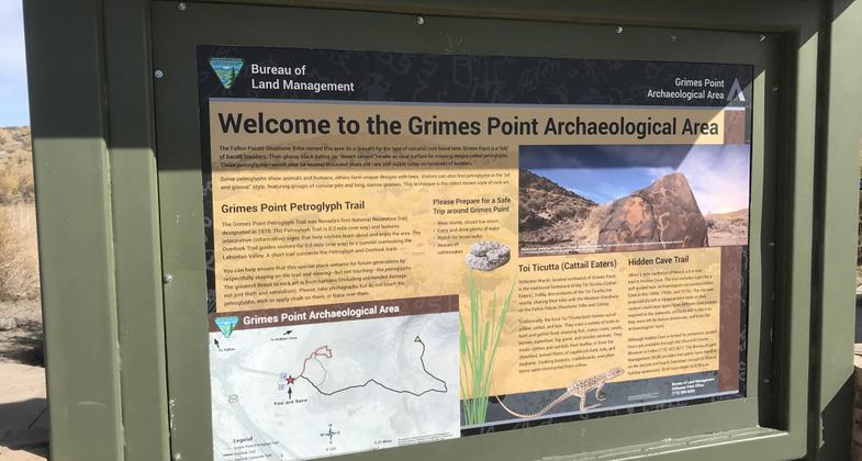
Photo by Pam Riches.
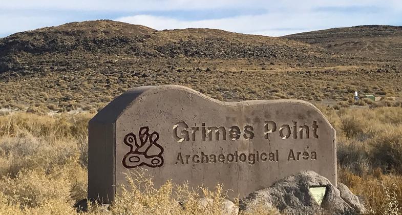
Sign at highway. Photo by Pam Riches.
Location: Southeast of Fallon on U.S. Highway 50
- States: Nevada
- Counties: Churchill
Grimes Point is one of the largest and most accessible petroglyph (rock art) sites in the United States. There are hundreds of boulders in this locality with petroglyphs inscribed in them. Designs include circles, wavy lines, human figures, snakes, and other animal figures. The rock art is believed to be about 6,000 years old. Visitors can view examples of petroglyphs along a short, self-guided interpretive trail. The site is managed by the Bureau of Land Management.
Accessibility Information
No text provided.
Allowed Uses:
Hiking/WalkingOther Activities
- Wildlife viewing / observation
Public Contact
Bureau of Land Management5665 Morgan Mill Rd.
Carson City, NV 89701
(775) 885-6000
Contact the trail manager for current maps and visiting details.
More Details
- Elevation (low): 3926
- Elevation (high): 4003
- Elevation (cumulative): --
- Part of a Trail System? No
- Surface (primary): Rock, crushed
- Surfaces (additional): --
- Tread Width (average): 0"
- Tread Width (minimum): --
- Running length (minimum): --
- Tread Grade (average, percent): --
- Tread Grade (maximum):
- Running length (maximum): --
- Cross-slope (average, percent): --
- Cross-slope (maximum): --
- Running length (maximum): --
- Certified as an NRT
Jun 12, 1978

