Harrisburg Riverfront
This information is a public record of the original NRT application and may be out of date if it has not been updated by a trail manager --
check with the trail manager for updated details before visiting.
check with the trail manager for updated details before visiting.
Harrisburg Riverfront
City, Town, or County
Urban Trail
- Length
4 miles
- Elevation Gain
--
- Route Type
out & back
- Length
4 miles - Elevation Gain
-- - Route Type
out & back
A four mile long ribbon of park land along the along the Susquehanna River on Harrisburg's eastern boundary

Bikers on the Riverfront Trail. Photo by Josh Killian Photography

View of the Susquehanna River from the Riverfront Trail

Photographer Justin Nixon

Sunken Garden. Photo by Milton Neidlinger.

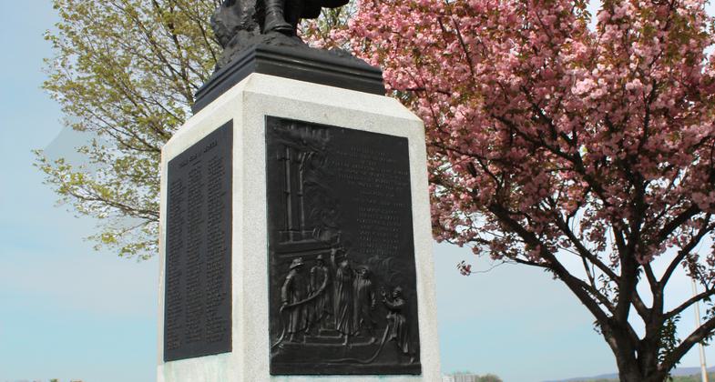
Firemans Memorial. Photo by Milton Neidlinger.

Location: In Harrisburg, follows E side of Susquehanna River from Harris Bridge to River Park
- States: Pennsylvania
- Counties: Dauphin
A four mile long ribbon of park land along the along the Susquehanna River on Harrisburg's eastern boundary
Accessibility Information
No text provided.
Allowed Uses:
Bicycling Hiking/WalkingPublic Contact
Harrisburg Dept. of Parks and Rec.10 North Second St.
Harrisburg, PA 17101
(717) 255-3020
Contact the trail manager for current maps and visiting details.
More Details
- Elevation (low): --
- Elevation (high): --
- Elevation (cumulative): --
- Part of a Trail System? No
- Surface (primary): --
- Surfaces (additional): --
- Tread Width (average): 0"
- Tread Width (minimum): --
- Running length (minimum): --
- Tread Grade (average, percent): --
- Tread Grade (maximum):
- Running length (maximum): --
- Cross-slope (average, percent): --
- Cross-slope (maximum): --
- Running length (maximum): --
- Certified as an NRT
n/a